Texas Falls
SnowmeltA glacially carved chute-and-pothole falls on the Hancock Branch in the Green Mountain National Forest, framed by bridges and open to snowshoers in winter.

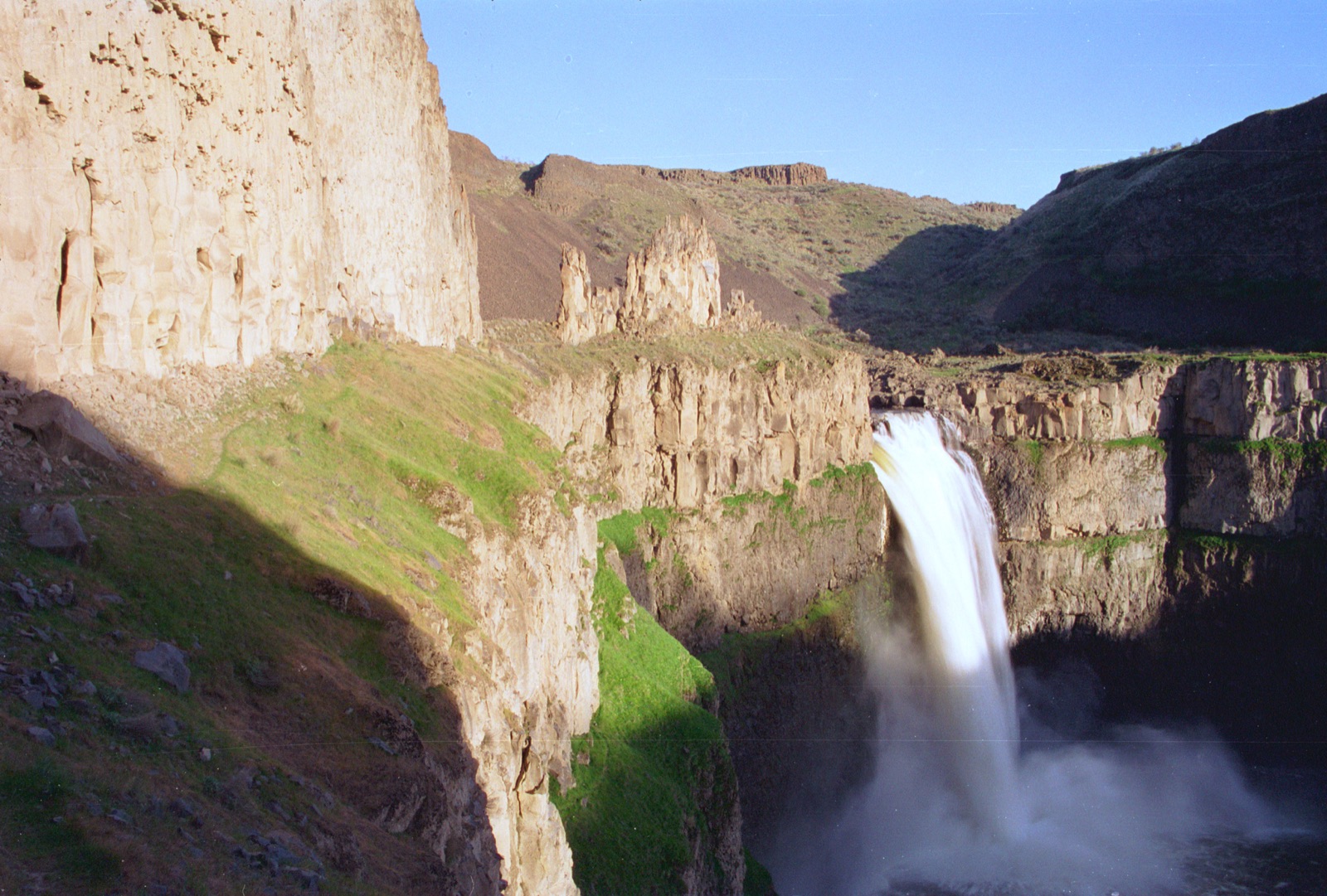
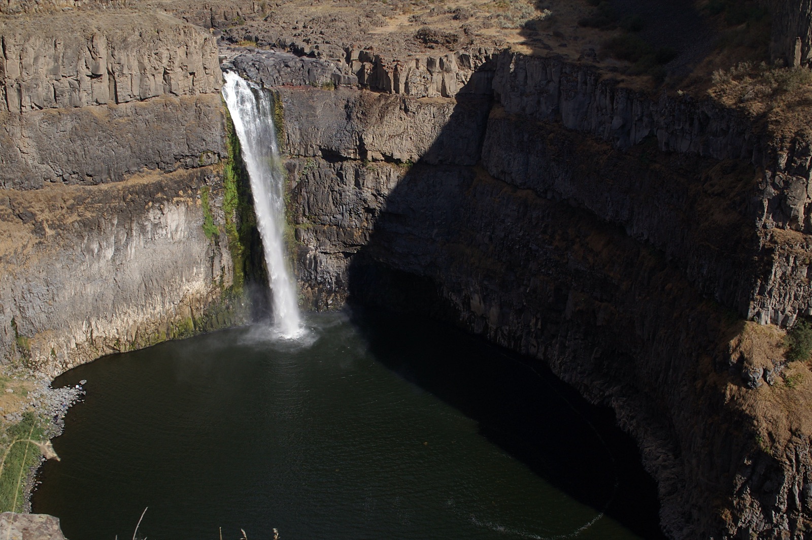
One of Vermont's highest waterfalls at over 100 feet of total drop, coursing through a gorge outside Stowe, at full song during the Green Mountain melt.
Trail status, closures and safety rules belong to each falls' managing agency, named and linked on every page.
Moss Glen Brook runs classic Green Mountain snowmelt: the April to June melt is the thunder, summer is graceful, and fall foliage frames it best in early October. Vermont Forests, Parks and Recreation manages the natural area and supplies the sentence that matters below about the rocks.
Typical best flow: April through June
This is one of the highest waterfalls in the state, with a total drop of over 100 feet.
Gauge: USGS 04288295 Little River near Stowe VT, on the receiving Little River downstream, a basin-level proxy. The gauge reads the river, not the brink of the falls, so treat it as the trend line rather than a turnstile.
Source: USGS Water Services (National Water Information System). Instantaneous values and daily statistics services. U.S. Geological Survey data are works of the United States Government and are in the public domain. Gauge verified 2026-08-27.
A short trail from Moss Glen Falls Road reaches the gorge; the state's natural areas page warns plainly that the steep slippery rocks are hazardous and not to climb them. Distinguish this falls from the roadside Moss Glen Falls in Granville Gulf, an hour south.
Current access and closures: Vermont Department of Forests, Parks and Recreation (Moss Glen Falls Natural Area).


A glacially carved chute-and-pothole falls on the Hancock Branch in the Green Mountain National Forest, framed by bridges and open to snowshoers in winter.
Smugglers' Notch's gorge falls below Mount Mansfield, with the best-matched gauge in the East: USGS reads the falls' own brook just above the drop.
Make a trip of it
Things to doGuided trips and experiences from local operators.
Browse on Viator Places to stay
Vacation rentals and cabins close to the water.
Browse on VrboWe may earn a commission on bookings made through these links.
Flow windows are typical-year climatology drawn from the driver and the agency language quoted above, not forecasts. Live readings and per-date percentiles are U.S. Geological Survey data, public domain; the above-or-below-typical line is our comparison and is labelled as such. Access, trail and safety information belongs to Vermont Department of Forests, Parks and Recreation (Moss Glen Falls Natural Area). National picture: waterfall season across the US →
Hero image: “Blackwater Falls (15437499241)” by Benjamin Smith from United States, CC BY 2.0