Dark Hollow Falls
Rain fedThe most walked waterfall trail in Shenandoah National Park: a steep, rocky drop to a mountain cascade close to Skyline Drive.

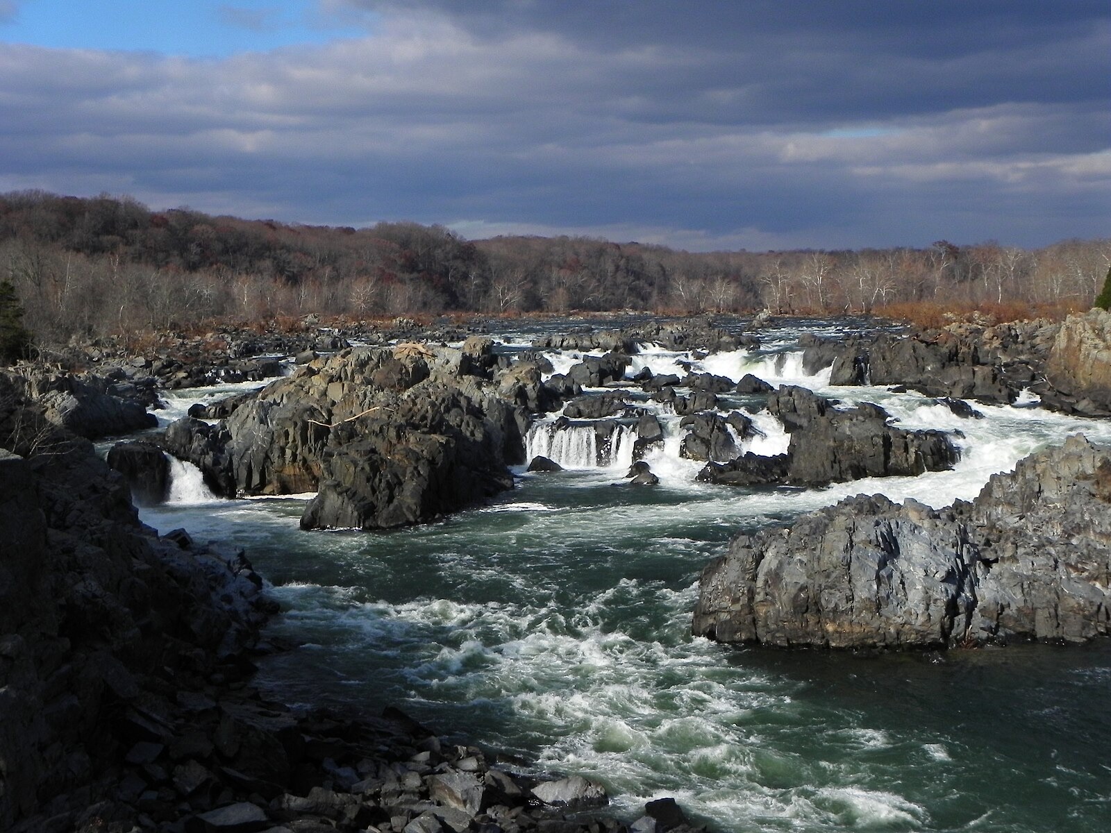
The Potomac drops over jagged ledges into Mather Gorge within sight of Washington, and the roar scales with everything that fell upstream in the last few days.
Trail status, closures and safety rules belong to each falls' managing agency, named and linked on every page.
Great Falls is fed by the whole upper Potomac basin, so its volume tracks regional rain and snowmelt rather than any local creek. Spring runs highest. After a big upstream storm the falls can go from loud to frightening within a day, which is exactly what the downstream gauge shows before you leave home.
Typical best flow: March through May
the Potomac River builds up speed and force as it falls over a series of steep, jagged rocks and flows through the narrow Mather Gorge

Gauge: USGS 01646500 POTOMAC RIVER NEAR WASH, DC LITTLE FALLS PUMP STA, downstream of the falls, the nearest long record on the main stem. The gauge reads the river, not the brink of the falls, so treat it as the trend line rather than a turnstile.
Source: USGS Water Services (National Water Information System). Instantaneous values and daily statistics services. U.S. Geological Survey data are works of the United States Government and are in the public domain. Gauge verified 2026-08-27.

The Virginia side is Great Falls Park; overlooks are a short walk from the parking area. The Maryland side views the same drop from Olmsted Island.
Current access and closures: Great Falls Park (National Park Service).

The most walked waterfall trail in Shenandoah National Park: a steep, rocky drop to a mountain cascade close to Skyline Drive.
Make a trip of it
Things to doGuided trips and experiences from local operators.
Browse on Viator Places to stay
Vacation rentals and cabins close to the water.
Browse on VrboWe may earn a commission on bookings made through these links.
Flow windows are typical-year climatology drawn from the driver and the agency language quoted above, not forecasts. Live readings and per-date percentiles are U.S. Geological Survey data, public domain; the above-or-below-typical line is our comparison and is labelled as such. Access, trail and safety information belongs to Great Falls Park (National Park Service). National picture: waterfall season across the US →
Hero image: “Great Falls of the Potomac River in November, 2012” — National Park Service — Public domain