Buttermilk Falls
Rain fedNew Jersey's tallest waterfall, per the Park Service, tumbling beside a wooden staircase that climbs toward the Appalachian Trail, with a winter road closure that sets the visiting season.

A 77 foot urban cataract in Paterson that powered America's first planned industrial city, still splitting its river with a working hydro plant beside the brink.
Trail status, closures and safety rules belong to each falls' managing agency, named and linked on every page.
The Passaic at Paterson is a big suburban river whose falls shares water with the hydroelectric plant built into the cliffside beside it, the arrangement that founded the city. Spring runoff and storm flows overwhelm the diversion and put on the full show; dry-season visits see more modest water. The Little Falls gauge upstream reads exactly what is arriving.
Typical best flow: March through May
Park grounds are available 24 hours a day. The best time to visit is between sunrise and sunset.
Gauge: USGS 01389500 Passaic River at Little Falls NJ, upstream of the falls on the same river. The gauge reads the river, not the brink of the falls, so treat it as the trend line rather than a turnstile.
Source: USGS Water Services (National Water Information System). Instantaneous values and daily statistics services. U.S. Geological Survey data are works of the United States Government and are in the public domain. Gauge verified 2026-08-27.

Park grounds are available 24 hours a day, per the Park Service, with the best visiting between sunrise and sunset; overlooks and the footbridge face the chasm from Overlook Park and Mary Ellen Kramer Park.
Current access and closures: Paterson Great Falls National Historical Park (National Park Service).

New Jersey's tallest waterfall, per the Park Service, tumbling beside a wooden staircase that climbs toward the Appalachian Trail, with a winter road closure that sets the visiting season.
Make a trip of it
Things to doGuided trips and experiences from local operators.
Browse on Viator Places to stay
Vacation rentals and cabins close to the water.
Browse on VrboWe may earn a commission on bookings made through these links.
Flow windows are typical-year climatology drawn from the driver and the agency language quoted above, not forecasts. Live readings and per-date percentiles are U.S. Geological Survey data, public domain; the above-or-below-typical line is our comparison and is labelled as such. Access, trail and safety information belongs to Paterson Great Falls National Historical Park (National Park Service). National picture: waterfall season across the US →
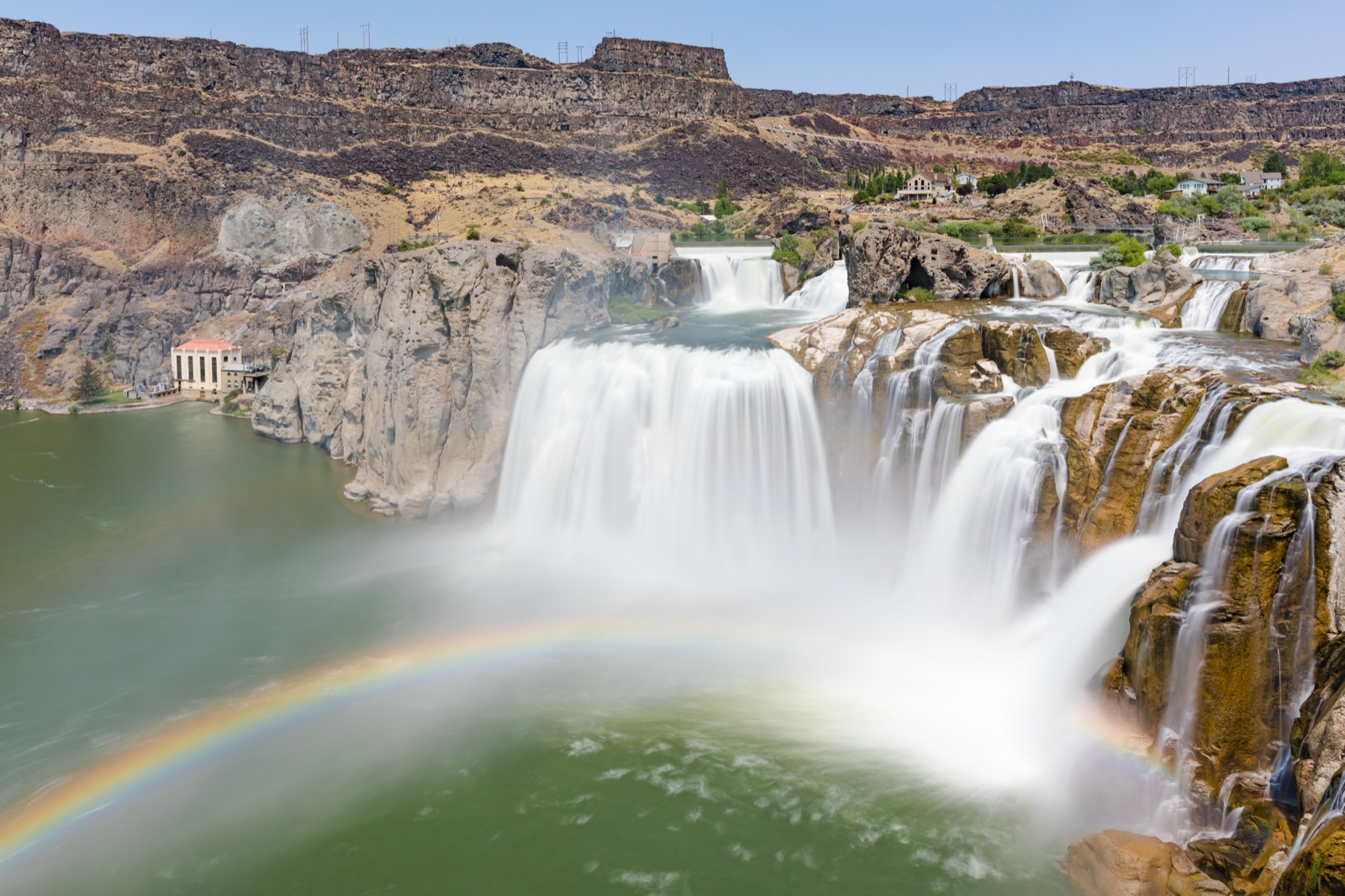
Hero image: “Shoshone Falls near Twin Falls, Idaho” by Frank Schulenburg, CC BY-SA 4.0