Skip to content

Virginia Beach Conditions: Rip Current Risk and Surf

Live from the National Weather Service Surf Zone Forecast, reproduced as issued for 2 forecast zones across Virginia.

No rip current risk category published for Virginia right now
Forecast zones
2
Swim season
May 23 to Sep 20
NWS offices
AKQ

Virginia beach conditions at a glance

Live · NWS Surf Zone Forecast
Today
When people are actually in the water in Virginia, against the February to November span. The bar is the busiest stretch, not a forecast.
None
highest rip current risk
no category published now
0
hazard products in effect
Beach Hazards, Rip Current, High Surf
June 15 to September 7
busiest weeks
outside the season today
2
NWS beach zones
issued by AKQ

NWS Wakefield writes the threshold into the forecast: surf heights greater than 4 feet typically result in dangerous breaking waves in the surf zone and potentially a Moderate to High rip risk.

Live, as issued

Rip Current Risk in Virginia today

Every value below is reproduced from the National Weather Service Surf Zone Forecast exactly as the issuing office wrote it. On a life-safety product the official category is the answer, and the zone you are standing in is the one that matters, so zones are never blended into a state figure. Virginia is covered by 2 forecast zones, issued by AKQ.

Swim near a lifeguard. The National Weather Service is the authority on surf zone conditions, and the beach patrol flying the flag in front of you is the authority on that beach. This page reproduces the NWS forecast; it does not replace either of them, and no forecast can tell you the water is safe.

Accomack-Northampton

Atlantic · Chincoteague, Wallops Island, Barrier Islands Between Cape Charles, Parramore

No forecast today

NWS AKQ did not include this zone in its current Surf Zone Forecast. Offices commonly drop zones outside the local swim season rather than issue a blank one.
Virginia Beach

Atlantic · Virginia Beach, Sandbridge

No forecast today

NWS AKQ did not include this zone in its current Surf Zone Forecast. Offices commonly drop zones outside the local swim season rather than issue a blank one.
Hazard products in effect in Virginia

These are the three NWS products that mean the beach itself is dangerous today. A Rip Current Statement covers rip currents only; a Beach Hazards Statement covers everything else, and is what the Great Lakes and West Coast offices lean on; a High Surf Advisory or Warning is the criteria based surf product.

Checking active NWS beach hazard products…

Interactive

Virginia beach zone map

Every NWS forecast zone in Virginia, coloured by the category its office published today. Zones with a hazard product in effect are ringed in purple. Zones stay grey where the office publishes no category at all.

Style
Size

Virginia NWS Surf Zone Forecast zones. Each dot is the centre of one NWS forecast zone, not a beach. Categories are reproduced from the issuing office and are not recomputed here. Some offices, including San Francisco, Eureka, Portland and Honolulu, publish a Surf Zone Forecast with no risk category at all, and those zones stay grey no matter the conditions. All states →

Your beach

Which Virginia zone covers your beach?

NWS forecasts the surf zone by county-sized areas, not by beach, so the first useful question is which zone you are in. Enter a ZIP and this snaps to the nearest Virginia zone and pulls its current forecast.

Reading the forecast

What Rip Current Risk actually means

The ocean scale has three steps, and the most important sentence in it is inside the Low step: life threatening rip currents often occur near groins, jetties, reefs and piers even when the category reads Low. Structural rips sit in a fixed spot and run in small surf.

Rip Current Risk

Low

The risk for rip currents is low, however, life threatening rip currents often occur in the vicinity of groins, jetties, reefs, and piers.

Moderate

Life threatening rip currents are possible in the surf zone.

High

Life threatening rip currents are likely in the surf zone.

Verbatim from NWS Instruction 10-320, June 5 2025, section 2.6.1.

Great Lakes Swim Risk, for comparison

Low

Large waves and dangerous currents are not expected, however dangerous currents may exist at any time near piers, breakwalls, and river outlets.

Moderate

Breaking waves and currents are expected.

High

Life threatening waves and currents are expected.

Verbatim from NWS Instruction 10-320, June 5 2025, section 2.7.1. Shown so the two are not confused: they are separate scales.

Elevated view along a busy ocean beach showing a rip current, a wide plume of churned, sediment-laden water pushing seaward through a gap in the line of breaking waves
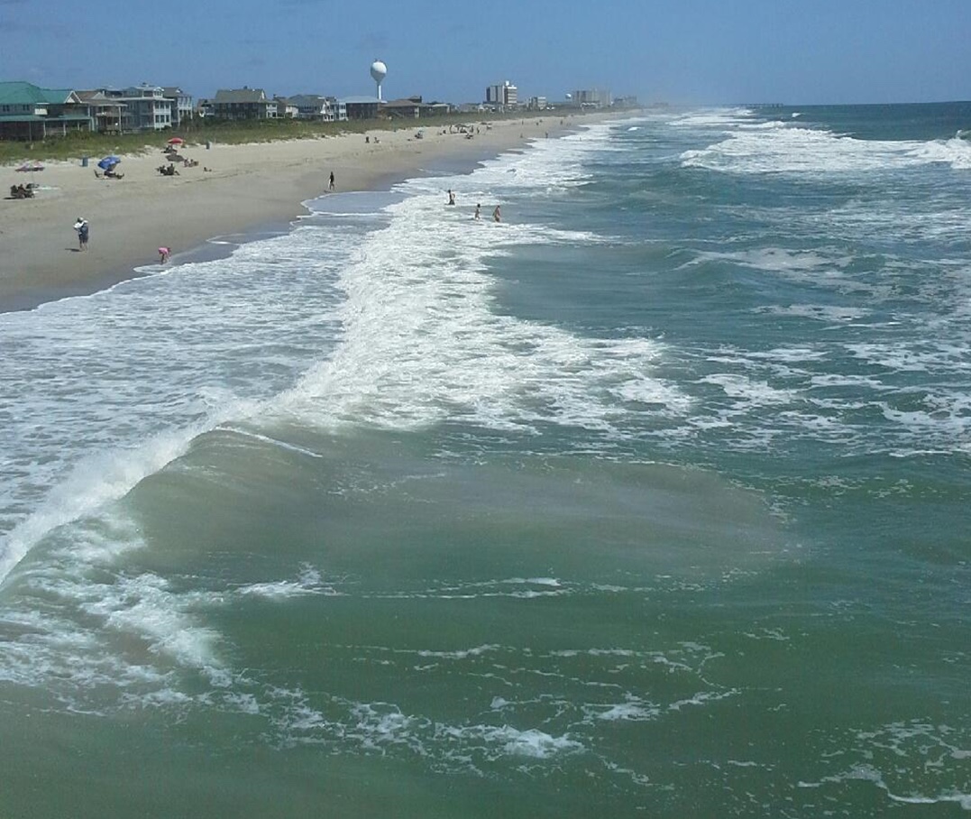
A rip current photographed by NWS Wilmington from Crystal Pier at Wrightsville Beach, North Carolina, in August 2014. This is what one usually looks like from shore: a gap in the line of breaking waves, water discoloured with churned sand, and foam tracking steadily away from the beach. “Rip current viewed from Crystal Pier on the south end of Wrightsville Beach, August 2014” — NWS Wilmington NC — Public domain

NWS explains the mechanism two ways. Channel rips form where waves break unevenly along the shore: water piles up where they break hardest, runs sideways to where it breaks least, then turns and flows back out through a gap in the sandbar. Those channels can sit in one place for weeks. Structural rips, which NWS also calls boundary, topographic, permanent or headland rips, form beside groins, jetties, piers, headlands and reef outcrops, are fixed in location, and can run even in small surf.

Where the risk concentrates

What drives Virginia beach conditions

  • Surf height: NWS Wakefield states that surf above 4 feet typically produces dangerous breaking waves and a Moderate to High rip risk
  • Long period groundswell from distant Atlantic hurricanes, the dominant late summer driver on this coast
  • Persistent onshore east and northeast wind on the Virginia Beach oceanfront
  • Inlets and gaps between the Eastern Shore barrier islands

Structures that hold a current in one place

The Virginia Beach oceanfront is armored and piered, and NWS Wakefield gives it its own dedicated zone, kept separate from the Eastern Shore. NWS repeats the standard warning that life threatening rip currents often occur in the vicinity of groins, jetties, reefs and piers even at Low risk. Across the Chesapeake Bay mouth, the Accomack and Northampton zone covers barrier islands between Cape Charles and Parramore, where hard structures give way to natural inlets between islands.

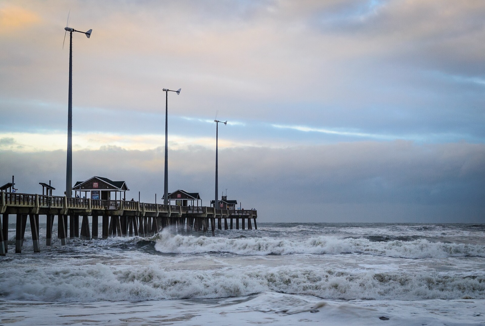
Wooden fishing pier on pilings extending into the ocean at dusk, with heavy surf breaking hard around and through the pilings
Jennette's Pier, North Carolina. Groins, jetties and piers create rips that sit in a fixed place and run even on small days, which is why the NWS Low risk wording still names them. “Jennette's Pier-3725-Edit (36524404973)” by Roger Mulligan, CC BY 2.0

Beaches worth checking the forecast for

Virginia Beach oceanfront

Virginia Beach. The resort strip and the NWS tide reference for its own dedicated forecast zone, separate from the Eastern Shore.

Sandbridge

Virginia Beach. Named by NWS alongside Virginia Beach in the same zone, a quieter residential stretch south of the resort.

False Cape State Park

Virginia Beach. Nearly six miles of Atlantic beach reachable only on foot, by bike or by boat, with no designated swimming areas.

Chincoteague

Accomack County. Named in the NWS Eastern Shore zone, next to an Assateague district that guarded only two short windows in 2026.

Wallops Island

Accomack County. Named by NWS in the Accomack and Northampton zone, on the barrier chain north of the developed shore.

Barrier islands between Cape Charles and Parramore

Northampton and Accomack counties. The NWS zone description itself, a mostly undeveloped chain with no on the ground monitoring.

Every zone NWS forecasts in Virginia, with the beaches it names: Accomack-Northampton; Virginia Beach.

The season

When people swim in Virginia, and who is watching

Virginia holds the warmest water in this group, so its swim season runs later than its guard season, which at the Assateague Virginia district ended Sep 7 in 2026.

Lifeguards

Guarded coverage in Virginia is thin outside the resort strip, and the state is explicit about it. False Cape State Park has 5.9 miles of Atlantic beach and states there are no designated swimming areas, while First Landing State Park says to swim at your risk in Chesapeake Bay with no lifeguards. On the Eastern Shore, the Virginia district of Assateague Island National Seashore posted lifeguards only 10 am to 5 pm across two short late season windows in 2026, Aug 26 to Aug 30 and Sep 3 to Sep 7.

The United States Lifesaving Association puts the chance of fatally drowning at a beach protected by USLA affiliated lifeguards at 1 in 18 million, based on the last ten years of reports from its affiliated agencies. USLA also reports that rip currents account for over 80 percent of rescues performed by surf beach lifeguards. Both figures are about guarded beaches; neither says anything about the unguarded stretch a mile down the sand.

Water temperature

NWS listed Virginia Beach and the Eastern Shore in the upper 70s in late August, the warm end of this coast, so exposure time rather than cold is the limiting factor.

Hazards beyond the current

  • Long unguarded stretches: False Cape has 5.9 miles of ocean beach with no designated swimming areas
  • Inlet and channel current among the Eastern Shore barrier islands between Cape Charles and Parramore
  • Warmest water in this group at upper 70s, which keeps people in the water much longer
  • Distant hurricane swell through September, exactly when the guarded season is ending
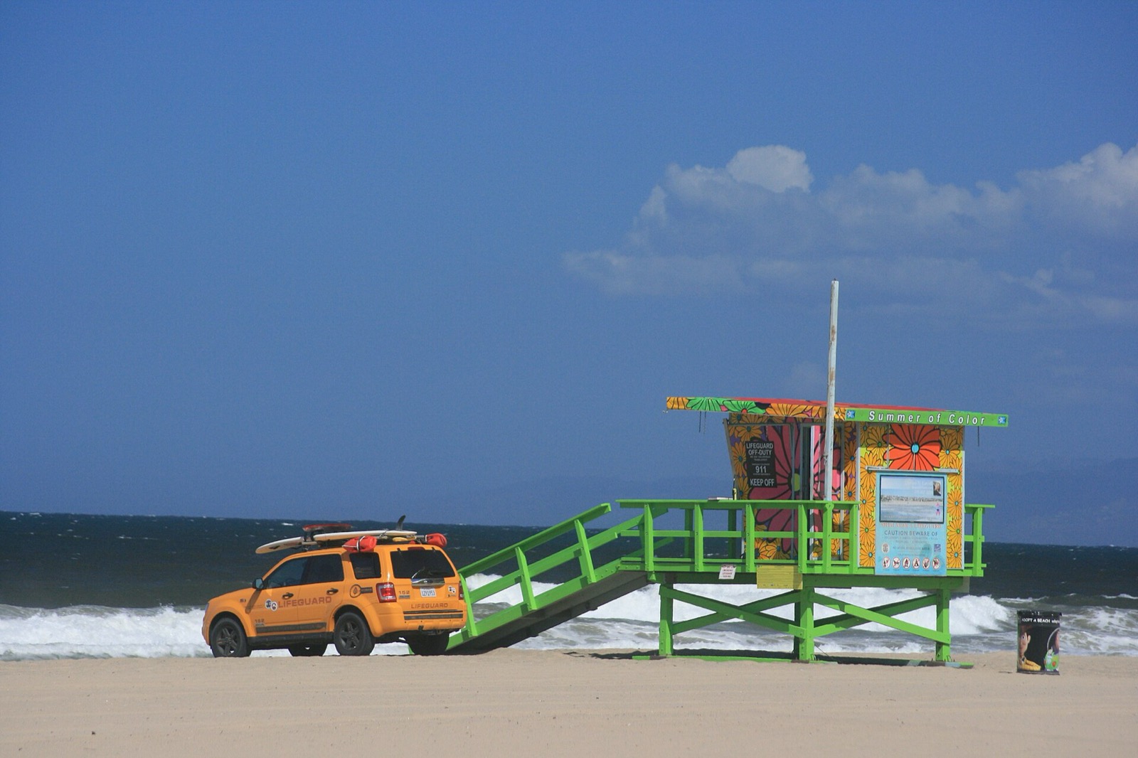
Elevated lifeguard tower on a California sand beach with a lifeguard patrol truck carrying rescue boards parked alongside it
A lifeguard tower and patrol vehicle on Manhattan Beach, California. Swimming near a lifeguard is the single largest reduction in risk available to anyone at a beach, and it is the first thing NWS recommends. “Lifeguard station on Manhattan Beach” by ian mcwilliams, CC BY 2.0
Advertisement
If it happens

How to get out of a rip current

This follows the National Weather Service wording, in the order NWS uses it. That order has changed over the years and the current version does not lead with “swim parallel”. It leads with not fighting the water.

First
Relax. A rip current does not pull you under. NWS puts this first for a reason. A rip is a treadmill of water moving away from the beach at an average of 1 to 2 feet per second, measured as fast as 8 feet per second, which is faster than an Olympic swimmer. It carries you out; it does not drag you down. Panic and exhaustion are what drown people, not the current itself.
Do not
Do not swim straight back at the beach. Swimming directly into the current burns the energy you need to get out of it. NWS is explicit: do not try to swim directly into shore.
To escape
Swim along the shoreline until the pull stops. NWS wording: swim along the shoreline until you escape the current’s pull, then swim at an angle away from the current toward shore. You may also be able to escape by swimming toward breaking waves, or by floating and treading water where the current circulates back toward the beach.
If you cannot
Float, face the beach, and signal. If you feel you cannot reach shore, relax, face the shore, and call or wave for help. Staying afloat and visible is a better use of what you have left than a swim you are not going to win.

If you are on the beach and someone else is caught

  • Alert the lifeguard. If there is no lifeguard, call 911.
  • Throw the person something that floats: a life jacket, a cooler, a boogie board, a ball.
  • Shout to them to swim along the shoreline until they escape the pull.
  • Do not swim out to them. NWS says it plainly: many would-be rescuers have drowned trying to help others. Never enter the water without a flotation device.

Wording follows the National Weather Service pages Before You Go in the Water and Dangerous Currents, read on August 23, 2026.

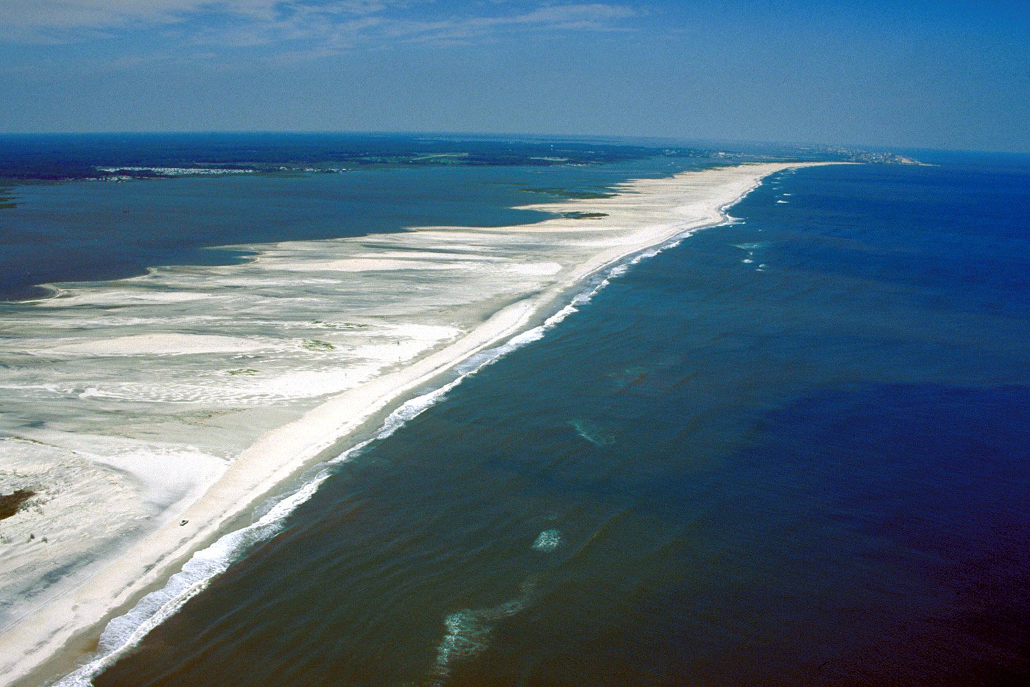
Oblique aerial view along a barrier island beach, with waves breaking in a line offshore and pale submerged sand shoals showing through the shallow water
Assateague Island, Maryland, from the air, photographed by the US Army Corps of Engineers. The pale patches offshore are submerged sand shoals. NWS describes channel rips as running seaward through gaps in exactly this kind of bar, and says a channel can hold the same position for days, weeks or months. “Assateague Island aerial view” — Susanne Bledsoe, U.S. Army Corps of Engineers — Public domain
Common questions

Virginia beach conditions FAQ

Plan the rest of the day

More for a Virginia beach day

Beach conditions in other states

Advertisement

Rip current risk, swim risk, surf height, water temperature and tide values on this page are read live in your browser from the National Weather Service Surf Zone Forecast at api.weather.gov and reproduced as issued, attributed to the issuing office with its issuance time. NWS is the authority, and every value is reproduced as issued. Category definitions are quoted from NWS Instruction 10-320 (June 5, 2025). Season windows, lifeguard coverage and local context are researched and are climatological typicals rather than forecasts. National picture: live rip current risk across the country →
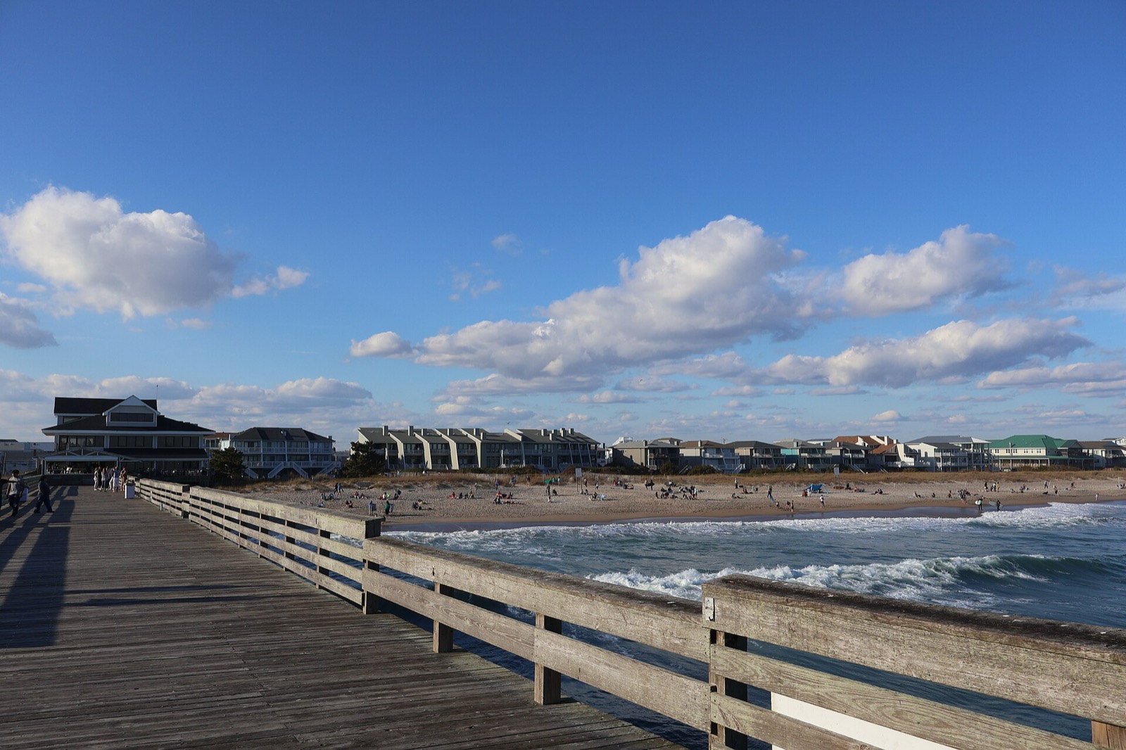
Hero image: “Crystal Pier in Wrightsville Beach (January 2023) 5” by DiscoA340, CC BY-SA 4.0