
Skip to content

Wyoming Mountain Passes

Every Wyoming pass worth naming, how high it is, whether it gates for the winter or stays open, what the record says about when the gate moves, and the agency that publishes today's status.

In the seasons the agencies have published, Snowy Range Scenic Byway has closed around November 17. That is a median of past seasons; today's status is with the agency linked below.
Passes on this page
8
Gated for winter
4
With a published record
1
With a snow station on them
3
Current status

Where Wyoming pass status is published

Check the agency below before you drive. Gate decisions are made by highway crews and park rangers looking at the road, and they change inside a day.

Wyoming has two kinds of seasonal road and they are published in two completely different ways. Yellowstone posts projected opening and closing dates for every road segment before each season and says on the same page that they are subject to change, and it keeps no historic table at all. The state highway department gates the Snowy Range Byway and the answer to how it has behaved lives inside the text of its own annual closure releases. Neither is a database, and neither publishes anything live that a browser can read without a key.

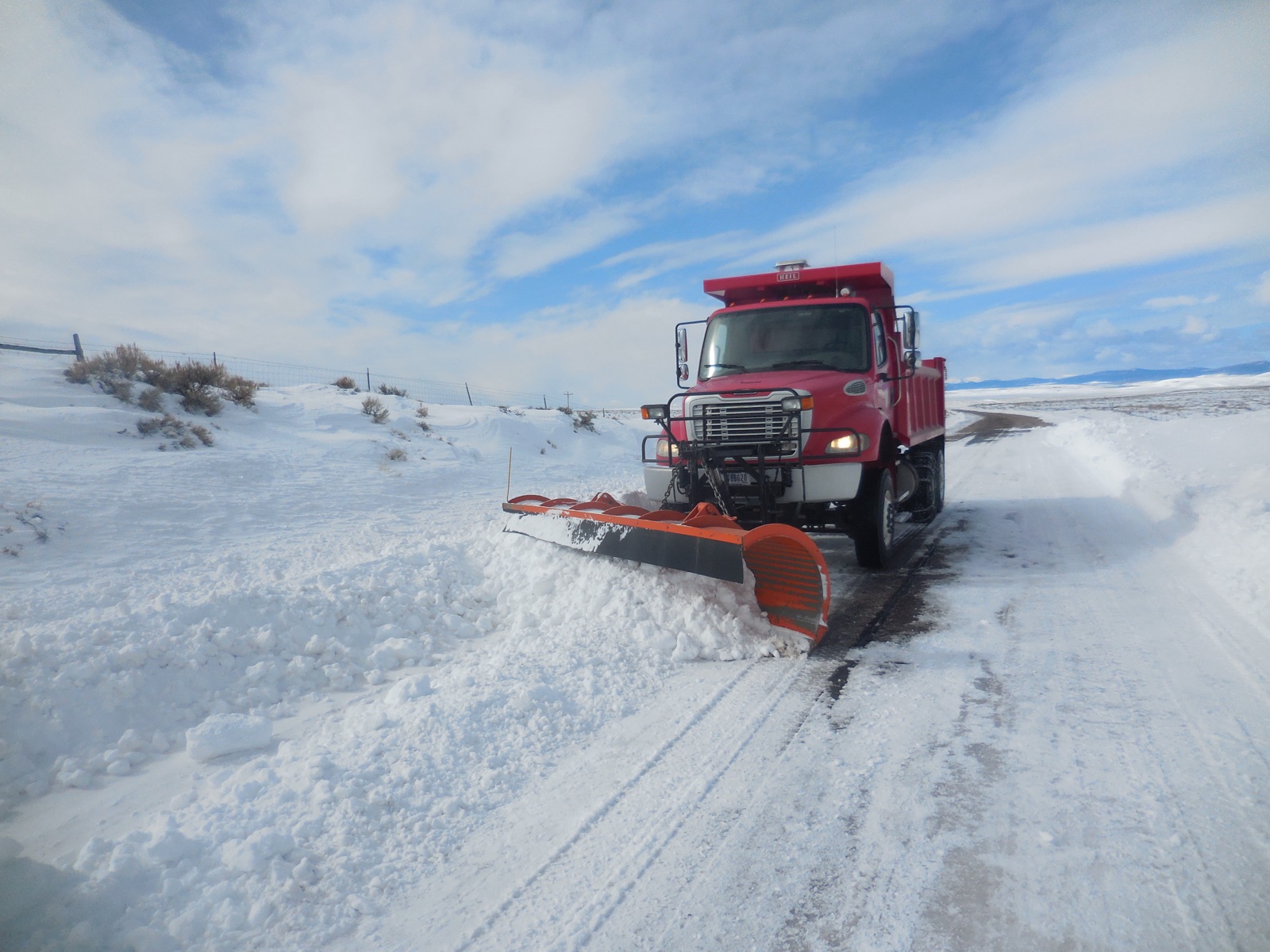
A highway snowplow throwing a wall of snow off the shoulder of a two lane mountain road
The reason a gate date is not a calendar date. Reopening a gated pass is not a matter of waiting for a thaw: a crew drives a rotary blower into drifts that can stand thirty feet above the pavement, and they do it under slopes that are still loaded. That is why the same road can open on 2 April in one year and 22 July in another, and why no agency on this page will name a date in advance. “Snow Plowing Jones Hole Highway (51313598806)” — USFWS Mountain Prairie — Public domain
Measured right now

What instruments are reading on the Wyoming passes

Check the agency below before you drive. Gate decisions are made by highway crews and park rangers looking at the road, and they change inside a day.

Wyoming Department of Transportation publishes its road conditions through a keyed system, so this page reads no live Wyoming road feed. What it reads live is federal: measured snowpack from the USDA network, and National Weather Service products for the state. For the road itself, the WYDOT road and travel information map is the source and the pointer above is the link.

Our own summary of information published by Wyoming Department of Transportation. A state agency’s words are its own, so this is a restatement of the facts rather than a copy of the page.

Measured snow on the passes

Reading measured snow depth from SNOTEL.

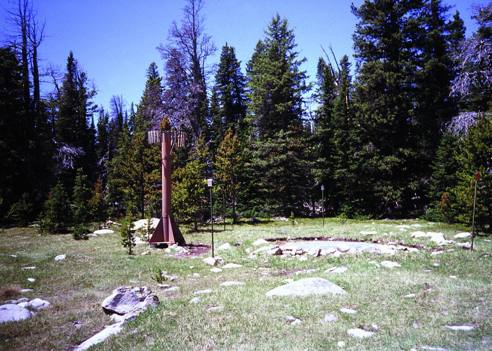
A SNOTEL weather station in a forest clearing, a tall mast and instrument shelter standing over an open patch of snow
A SNOTEL station: a sonic ranger on the mast measuring the distance down to the snow surface, and a fluid filled pillow buried under the pack weighing the water in it. That second number is the one that matters to a plow crew, because two feet of dry January powder and two feet of April corn are not the same job. Note also what the picture shows: a clearing in trees, not a roadway. This is why every depth on this page carries its station name and elevation. “Cloud Peak SNOTEL site in Montana” — USDA Natural Resources Conservation Service — Public Domain

National Weather Service winter products for Wyoming

Twenty of the National Weather Service’s one hundred and eleven product types are winter or road relevant, from a Winter Weather Advisory to a Snow Squall Warning to an Avalanche Warning. They are federal works in the public domain, which is why this is the one place on the page where somebody else’s live sentences appear word for word rather than in our own.

Reading National Weather Service products for Wyoming.

The forecast at one pass

A forecast for a valley town is not a forecast for the pass above it. Pick a pass and this reads the National Weather Service grid at that pass’s own coordinates, one pass at a time.

Advertisement
The map

Every Wyoming pass on one map

Colour is winter behaviour: a purple or teal marker is a road with a gate that shuts for the season, and a dark marker is a road kept open all winter where what changes is the traction requirement. Enter a ZIP and the map moves to your state and names the county it matched, a county level match from the Census relationship file.

Style
Area
Size

8 passes around Wyoming. Colour is how the road behaves in winter: gated for the season, or kept open under chain control. Current status is published by the agency linked from each state page.

The record

What the published record says about the Wyoming gates

Check the agency below before you drive. Gate decisions are made by highway crews and park rangers looking at the road, and they change inside a day.

Snowy Range Scenic Byway

WYO 130, 10,847 feet. A twelve mile gated section between mileposts 36 and 48 that tops out above 10,800 feet. It is the only Wyoming seasonal gate for which the state highway department publishes more than one past season.

Closing dates across 6 recorded seasons from 2020 to 2025

Median November 17. Earliest November 10 in 2022. Latest November 26 in 2025. That is a spread of 16 days, which is the number that matters more than the median does.

Snowy Range Scenic Byway, Wyoming Highway 130. The gate is the 12 mile section from mile 36 at the Green Rock trailhead to mile 48 above Ryan Park.
SeasonOpenedClosed
2025not publishedNov 26
2024not publishedNov 19
2023not publishedNov 26
2022not publishedNov 10
2021not publishedNov 11
2020not publishedNov 14

State record: Wyoming Department of Transportation. Not public domain, so the dates are restated in our own structure rather than copied. Read on 4 September 2026.
Yellowstone publishes a projection, not a record

Yellowstone posts an opening and closing date for every road segment before each season and keeps no historic table at all. Every date on that page is what the park intends, published in advance, and the park says so itself in the same breath.

“Roads typically open at 8:00 a.m. on the first day. All dates are subject to change depending on weather conditions.”

Yellowstone National Park, park roads

A work of the United States government, in the public domain, so it is reproduced word for word. Read on 4 September 2026.

So there are no Yellowstone medians to draw. A series assembled from dated snapshots of that page would be a record of what the park announced rather than of what happened, and the two come apart: the 2020 dates published there were the pre pandemic schedule and the actual openings were later, while Dunraven Pass in 2024 opened eight days ahead of its published date. Where a projected date is useful is as a shape, and the shape is that the west side roads go first, the Continental Divide crossings a fortnight later, and Dunraven last of all.

“This is a high elevation pass that generally experiences more winter weather than other roads in the park.”

Yellowstone National Park, park roads, on the Dunraven Pass segment

A work of the United States government, in the public domain, so it is reproduced word for word. Read on 4 September 2026.

Gates without a published year by year record

Each of these closes for the winter. The agency publishes the road and a general window rather than a year by year record, so there is no median to compute; single seasons appear in press releases, and the agency pointer above carries the current status.

  • Dunraven Pass, Grand Loop Road, 8,878 feet. The highest road in Yellowstone and the last segment to open each spring. The park publishes a projected date for it before each season and says on the same page that the dates are subject to change, which is the only claim anyone should carry away.
  • Sylvan Pass, US 14, 16 and 20, 8,524 feet. The East Entrance road, closed to wheeled vehicles for the winter and opened by an avalanche control operation that uses a howitzer, which is why its date moves for reasons that have nothing to do with plowing.
  • Craig Pass, Grand Loop Road, 8,262 feet. Between West Thumb and Old Faithful, crossing the Continental Divide twice in eight miles. It sits in the middle group of Yellowstone opening dates, after the west side roads and before Dunraven.

If WYDOT starts publishing a table for any of these, it will appear here.

Every pass

The full Wyoming inventory, gated and year round together

The two kinds of pass are searched for in identical words and answered in opposite ways, so they are on one table rather than two pages. A gated road has a date. A road kept open all winter does not, and anyone who tells you it usually closes in November has confused it with a different road. The list here is the Wyoming passes that appear in a machine readable agency feed, carry a snowpack station named after them, or have a published date record, which is the inventory that can be checked against a source.

PassRouteElevationWinter behaviourSnow station on it
Snowy Range Scenic BywayWYO 13010,847 ftSeasonal gate closes for winternone
Powder River PassUS 169,666 ftOpen all winter stays open, chains or traction may be requiredPowder River Pass, 9,480 ft
Togwotee PassUS 26 and 2879,658 ftOpen all winter stays open, chains or traction may be requiredTogwotee Pass, 9,590 ft
Dunraven PassGrand Loop Road8,878 ftPark road gate closes for winter, run by a parknone
Sylvan PassUS 14, 16 and 208,524 ftPark road gate closes for winter, run by a parknone
Teton PassWYO 228,431 ftOpen all winter stays open, chains or traction may be requirednone
Craig PassGrand Loop Road8,262 ftPark road gate closes for winter, run by a parknone
South PassWYO 287,412 ftOpen all winter stays open, chains or traction may be requiredSouth Pass, 9,040 ft
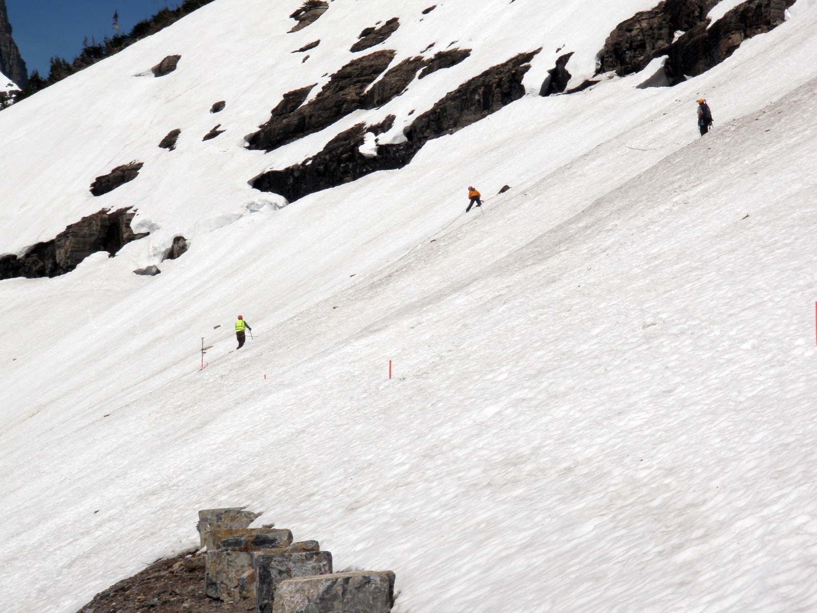
A survey crew standing on top of a snow drift many times their height, beside a road cut through the snow
The Big Drift on Going-to-the-Sun Road, surveyed before plowing begins. It forms in the same place every year because the wind does the same thing every year, and it is routinely eighty feet deep. This is what stands between a spring thaw and an open gate, and it is why a median opening date has a two month spread around it on almost every road here. “Going-to-the-Sun Road - Surveying the Big Drift (5888850828)” by GlacierNPS, CC BY 2.0
Common questions

Wyoming mountain pass FAQ

Mountain passes by state

Advertisement

Mountain passes across the country, including the states with no page and the specific reason for each, and park road openings, which is the spring half of the same question.

Historic dates on this page come from the publishers named beside each table and were read on 4 September 2026. National Park Service material is a United States government work in the public domain and is reproduced. State highway department material is not, so their dates are restated here in our own structure. Measured snow depth comes from USDA NRCS SNOTEL, and live weather products from api.weather.gov, both federal and both public domain.
Gate status is published by the agencies linked above. The dates here are records of past seasons, and a median is a record of what happened rather than a statement about the road today.
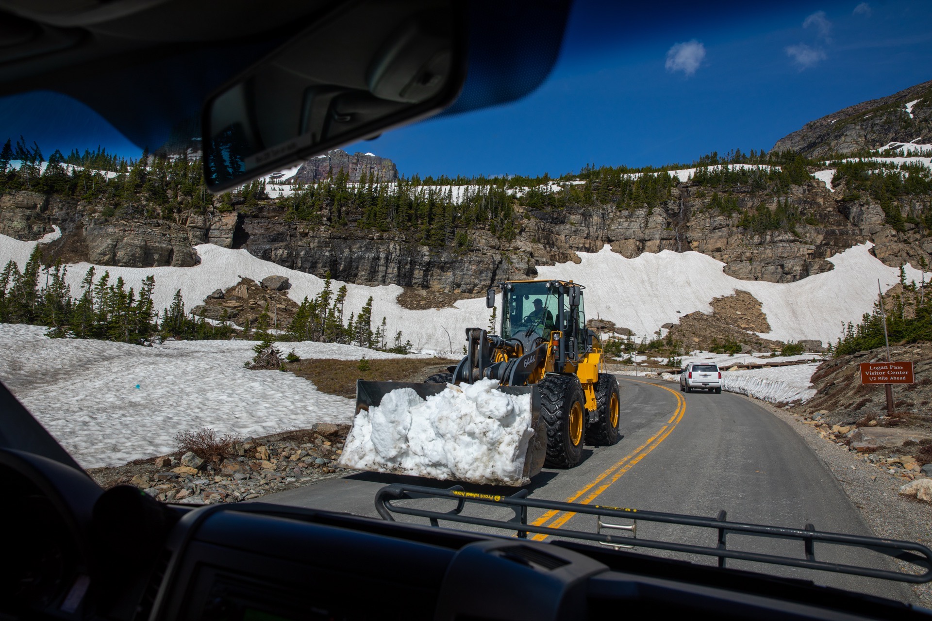
Hero image: “Snowplows at Logan Pass (52201734565)” — GlacierNPS — Public domain