
Utah Mountain Passes
Every Utah pass worth naming, how high it is, whether it gates for the winter or stays open, what the record says about when the gate moves, and the agency that publishes today's status.
Utah gates 7 mountain roads for the winter. The agency publishes the roads and a general window rather than a year by year record, so this page shows the measured snowpack and weather on the passes.Where Utah pass status is published
Utah gates nine state routes for the winter. Its highway department names the roads and gives a window of November through May or June depending on the weather, and that is the published record. This page names the nine roads precisely, corrects the two that are constantly listed by mistake, gives the measured snowpack at the stations nearest them, and points at the agency for current status.
What instruments are reading on the Utah passes
Utah Department of Transportation publishes its road conditions through a keyed system, so this page reads no live Utah road feed. What it reads live is federal: measured snowpack from the USDA network, and National Weather Service products for the state. For the road itself, UDOT Traffic is the source and the pointer above is the link.
Our own summary of information published by Utah Department of Transportation. A state agency’s words are its own, so this is a restatement of the facts rather than a copy of the page.
Measured snow on the passes
Reading measured snow depth from SNOTEL.
National Weather Service winter products for Utah
Twenty of the National Weather Service’s one hundred and eleven product types are winter or road relevant, from a Winter Weather Advisory to a Snow Squall Warning to an Avalanche Warning. They are federal works in the public domain, which is why this is the one place on the page where somebody else’s live sentences appear word for word rather than in our own.
Reading National Weather Service products for Utah.
The forecast at one pass
A forecast for a valley town is not a forecast for the pass above it. Pick a pass and this reads the National Weather Service grid at that pass’s own coordinates, one pass at a time.
Every Utah pass on one map
Colour is winter behaviour: a purple or teal marker is a road with a gate that shuts for the season, and a dark marker is a road kept open all winter where what changes is the traction requirement. Enter a ZIP and the map moves to your state and names the county it matched, a county level match from the Census relationship file.
8 passes around Utah. Colour is how the road behaves in winter: gated for the season, or kept open under chain control. Current status is published by the agency linked from each state page.
What the published record says about the Utah gates
Utah Department of Transportation publishes a route list and a general window for its gated roads rather than a year by year opening or closing record, so the medians on other state pages have no Utah equivalent. The roads, the window and the measured snowpack at the nearest stations are on this page.
The one Utah gate with a federal description
Utah’s highway department publishes no dates, but one of the nine gated routes runs through a national monument, and the National Park Service does describe it. It is the one federal description of a Utah seasonal gate.
Cedar Breaks National Monument, conditions“The main road through the park, State Route 148, closes each year due to snowpack. While the duration of the closure is snow dependent, the road is closed to vehicles from mid-November to mid-May, on average.”
A work of the United States government, in the public domain, so it is reproduced word for word. Read on 4 September 2026.
UDOT names nine state routes that it closes through the winter and gives a general window of November through May or June depending on the weather. In its own list they are SR 39 over Monte Cristo, SR 65 through East Canyon, SR 190 and SR 224 either side of Guardsman Pass, SR 92 on the Alpine Loop, SR 150 over the Mirror Lake Highway, SR 35 at Wolf Creek Summit, SR 153 to Mount Holly and SR 148 through Cedar Breaks. Two routes that are constantly listed as seasonal are not on it: SR 14 and SR 143 near Cedar Breaks are plowed through the winter, and the gated road there is SR 148.
Our own summary of information published by Utah Department of Transportation. A state agency’s words are its own, so this is a restatement of the facts rather than a copy of the page.
Gates without a published year by year record
Each of these closes for the winter. The agency publishes the road and a general window rather than a year by year record, so there is no median to compute; single seasons appear in press releases, and the agency pointer above carries the current status.
- Mirror Lake Highway, SR 150, 10,715 feet. The highest of Utah’s nine gated state routes, over Bald Mountain Pass in the Uintas. UDOT publishes the list of roads it gates and a stated window of November to May or June, and no dates at all.
- Cedar Breaks, State Route 148, SR 148, 10,350 feet. The gated road through Cedar Breaks National Monument, and the one worth naming precisely: SR 14 and SR 143 near it are plowed through the winter and are routinely and wrongly described as closing. SR 148 is the one that closes.
- Guardsman Pass, SR 190 and SR 224, 9,709 feet. Gated from both sides, Brighton on one and Park City on the other, which is why UDOT lists it as two separate route numbers. The gates turn a fifteen minute drive into an hour and a half for six months of the year.
- Alpine Loop, SR 92, 8,020 feet. The American Fork Canyon road over the shoulder of Mount Timpanogos, gated every winter. The Timpanogos Divide SNOTEL station at 8,180 feet is the closest measured snowpack to the gated section.
- Monte Cristo, SR 39, 9,148 feet. The gated crossing east of Ogden, and one of the coldest places in Utah: the Monte Cristo summit regularly records the state’s lowest overnight temperature in winter.
- Wolf Creek Summit, SR 35, 9,485 feet. Between Francis and Hanna in the western Uintas, gated with the rest of UDOT’s seasonal list. Not to be confused with Wolf Creek Pass in Colorado, which is a year round highway.
- East Canyon, SR 65, 7,420 feet. The Big Mountain Pass road northeast of Salt Lake City, on the original Mormon Trail alignment, gated at the summit from November until spring.
If UDOT starts publishing a table for any of these, it will appear here.
The full Utah inventory, gated and year round together
The two kinds of pass are searched for in identical words and answered in opposite ways, so they are on one table rather than two pages. A gated road has a date. A road kept open all winter does not, and anyone who tells you it usually closes in November has confused it with a different road. The list here is the Utah passes that appear in a machine readable agency feed, carry a snowpack station named after them, or have a published date record, which is the inventory that can be checked against a source.
| Pass | Route | Elevation | Winter behaviour | Snow station on it |
|---|---|---|---|---|
| Mirror Lake Highway | SR 150 | 10,715 ft | Seasonal gate closes for winter | none |
| Cedar Breaks, State Route 148 | SR 148 | 10,350 ft | Park road gate closes for winter, run by a park | none |
| Guardsman Pass | SR 190 and SR 224 | 9,709 ft | Seasonal gate closes for winter | none |
| Wolf Creek Summit | SR 35 | 9,485 ft | Seasonal gate closes for winter | none |
| Monte Cristo | SR 39 | 9,148 ft | Seasonal gate closes for winter | none |
| Alpine Loop | SR 92 | 8,020 ft | Seasonal gate closes for winter | Timpanogos Divide, 8,180 ft |
| East Canyon | SR 65 | 7,420 ft | Seasonal gate closes for winter | none |
| Parleys Summit | I-80 | 7,020 ft | Open all winter stays open, chains or traction may be required | Parleys Summit, 7,590 ft |
Utah mountain pass FAQ
Related conditions in Utah
Mountain passes by state
Mountain passes across the country, including the states with no page and the specific reason for each, and park road openings, which is the spring half of the same question.
Historic dates on this page come from the publishers named beside each table and were read on 4 September 2026. National Park Service material is a United States government work in the public domain and is reproduced. State highway department material is not, so their dates are restated here in our own structure. Measured snow depth comes from USDA NRCS SNOTEL, and live weather products from api.weather.gov, both federal and both public domain.
Gate status is published by the agencies linked above. The dates here are records of past seasons, and a median is a record of what happened rather than a statement about the road today.
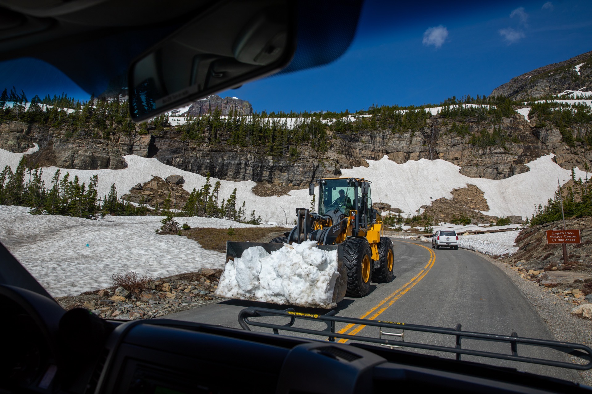
Hero image: “Snowplows at Logan Pass (52201734565)” — GlacierNPS — Public domain