
Idaho Earthquakes: Recent Quakes and the Largest on Record
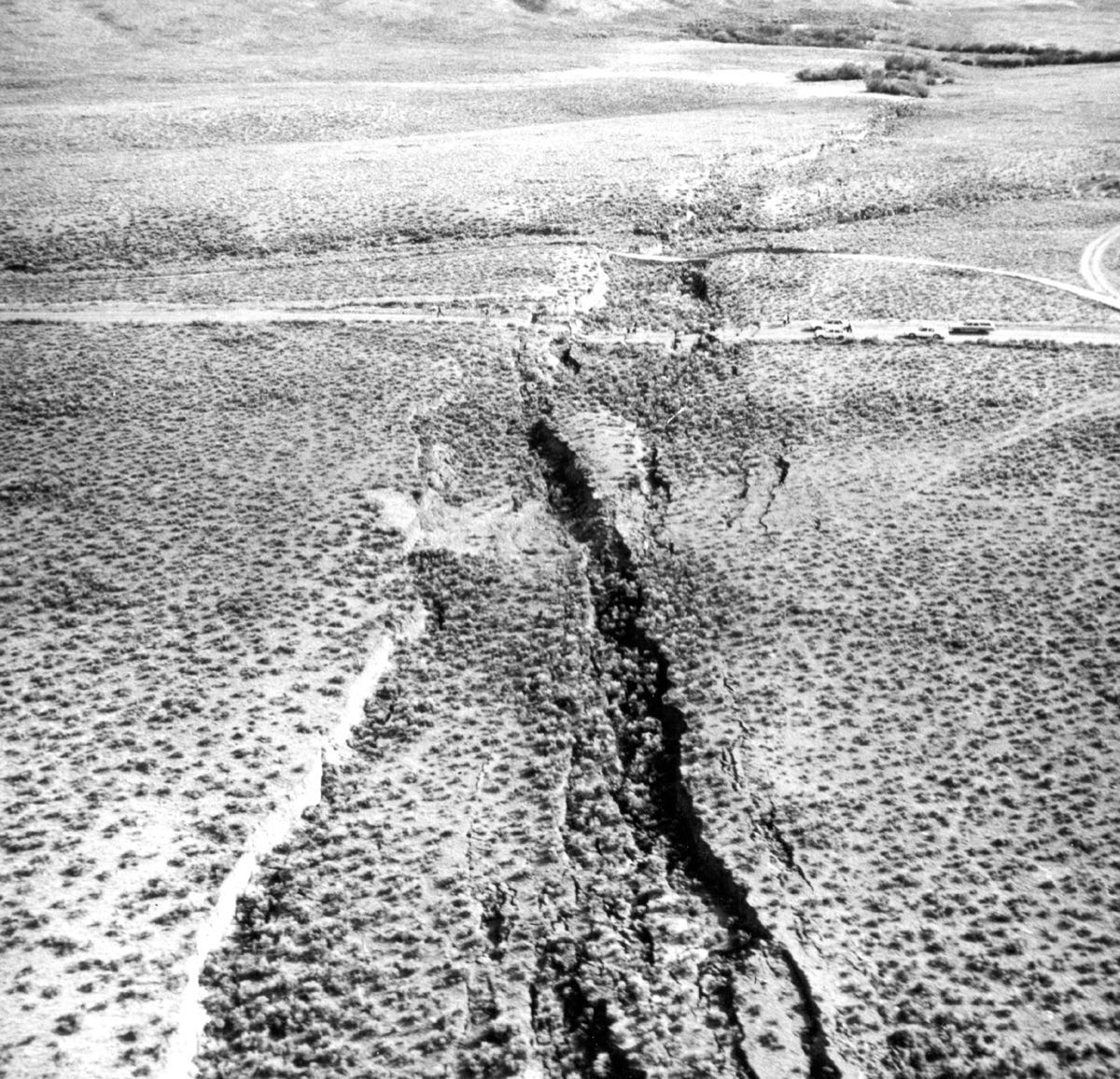
Idaho averages 237 earthquakes of magnitude 2.5 or more a year (2016 to 2025), and the largest in the USGS catalog since 1900 is the M6.9 of October 28, 1983, the Borah Peak Earthquake, Idaho.
Earthquakes near Boise in the last 30 days
Every quake within 155 miles of Boise, Idaho’s largest city, newest first. For your own address, enter a ZIP code.
Live from the USGS earthquake catalog. Times are Mountain time; felt reports and the shaking level come from Did You Feel It? A new quake can take a few minutes to appear and its magnitude can be revised.
Idaho by the numbers
USGS catalog, read October 10, 2026Idaho averages 237 earthquakes of magnitude 2.5 or more a year, counting 2,374 from 2016 to 2025, which ranks it 7th of the fifty states.
Idaho earthquakes by year
The USGS catalog lists 1,243 earthquakes of magnitude 3 or more in Idaho from 1990 to 2025, the most in 2020 (291). 2016 to 2025: 733; 2006 to 2015: 113.
The 10 largest earthquakes in Idaho
The largest earthquake in Idaho in the USGS catalog since 1900 is the M6.9 of October 28, 1983, the Borah Peak Earthquake, Idaho. The most recent of magnitude 4 or more was the M4.3 of June 8, 2025, 24 km E of Clayton, Idaho.
- 1M6.9
- 2M6.5
- 3M6.1
- 4M6.1
- 5M6.0
- 6M5.6
- 7M5.5
- 8M5.5
- 9M5.4
- 10M5.4
From the USGS ComCat catalog, every magnitude since 1900, read October 10, 2026. Each place links to the quake’s USGS page.
Fault zones in Idaho
- Lost River Fault
- Lemhi Fault
- Sawtooth fault
- Eastern Bear Lake Fault
- West Cache Fault Zone
“Notably, a M6.9 earthquake occured along the Lost River Fault in 1983, causing surface ruptures typical of earthquakes in this region as well as extensive aftershocks.”
Named by the Idaho Geological Survey, read October 9, 2026.
What to do in an earthquake
- 1
Drop
Drop where you are onto hands and knees.
- 2
Cover
Cover your head and neck with one arm and hand. If a sturdy table or desk is nearby, crawl underneath it for shelter. If no shelter is nearby, crawl next to an interior wall (away from windows). Stay on your knees; bend over to protect vital organs.
- 3
Hold On
Hold until the shaking stops. If under shelter, hold on with one hand and be ready to move with it when the shelter moves. If not under shelter, hold on to your head and neck with both arms and hands.
Ready.gov’s words, from Ready.gov: Earthquakes (updated Sep 9, 2026, read October 9, 2026). Practice it with The Great ShakeOut: Earthquake Drills.
Idaho earthquake questions
More from MyWild
Sources. The live list: the USGS FDSN event service. Idaho’s counts and largest quakes: the USGS ComCat catalog, read October 10, 2026, counted inside the state’s Census boundary and within 150 km of its coast where USGS names the state. Boise: the state’s most populous city in the Census Vintage 2024 estimates. Older years hold fewer small quakes because fewer instruments were listening.
Hero photograph: the San Andreas Fault across the Carrizo Plain. “Kluft-photo-Carrizo-Plain-Nov-2007-Img 0327” by Ikluft, CC BY-SA 4.0