
Alaska Tide Charts
Seven day tide tables and today's tide curve for 10 NOAA harmonic prediction stations on the Alaska coast, live from NOAA CO-OPS.
10 NOAA stations with a tide chart page in AlaskaAlaska tides at a glance
NOAA harmonic stationsAlaska has the largest tides in the United States, with upper Cook Inlet near Anchorage seeing ranges that rival the Bay of Fundy, while Southeast’s fjords swing hugely twice a day. Distances are vast and each station really does have its own schedule.
Alaska tide chart pages
Each page below reads NOAA’s harmonic predictions live for one station: today’s curve, a 7 day high/low table with sun and moon times, and the week’s best low tide windows. Mean range and tide type come from NOAA’s published station datums, and they are worth a glance before you pick: two towns an hour apart can live on very different tides.
| Tide chart | NOAA station | Mean range | Tide type |
|---|---|---|---|
| Ketchikan | Ketchikan (9450460) | 12.97 ft | Mixed |
| Sitka | Sitka (9451600) | 7.7 ft | Mixed |
| Juneau | Juneau (9452210) | 13.74 ft | Mixed |
| Skagway | Skagway, Taiya Inlet (9452400) | 14.11 ft | Mixed |
| Cordova | Cordova (9454050) | 10.17 ft | Mixed |
| Valdez | Valdez (9454240) | 9.7 ft | Mixed |
| Seward | Seward (9455090) | 8.33 ft | Mixed |
| Homer | COAL POINT (9455558) | 15.94 ft | Mixed |
| Anchorage | Anchorage (9455920) | 26.19 ft | Mixed |
| Kodiak | Kodiak Island (9457292) | 6.78 ft | Mixed |
Mean range is NOAA’s published difference between mean high water and mean low water at each station, in feet.
How tides behave on the Alaska coast
Life on the water here is scheduled by the book of tides: harbors, flats walks, setnet sites and shore fishing all run on it. The dramatic lows expose enormous flats, and locals treat glacial mud and returning water as genuinely dangerous, which is a matter for local authorities, not this page.
The spread inside the state is real: NOAA’s mean range runs from 6.78 feet at Kodiak to 26.19 feet at Anchorage. Use the station nearest the shoreline you actually plan to stand on, and expect timing to drift further up rivers, estuaries and back bays.
Alaska tides FAQ
More coast planning
Tide charts in other states
Station facts are from NOAA CO-OPS (tidesandcurrents.noaa.gov), US government work in the public domain, attributed as NOS requests. Tide values are read live on each station page and reproduced as published. These pages are for beach, fishing and tidepool planning, not navigation. National hub: US tide charts →
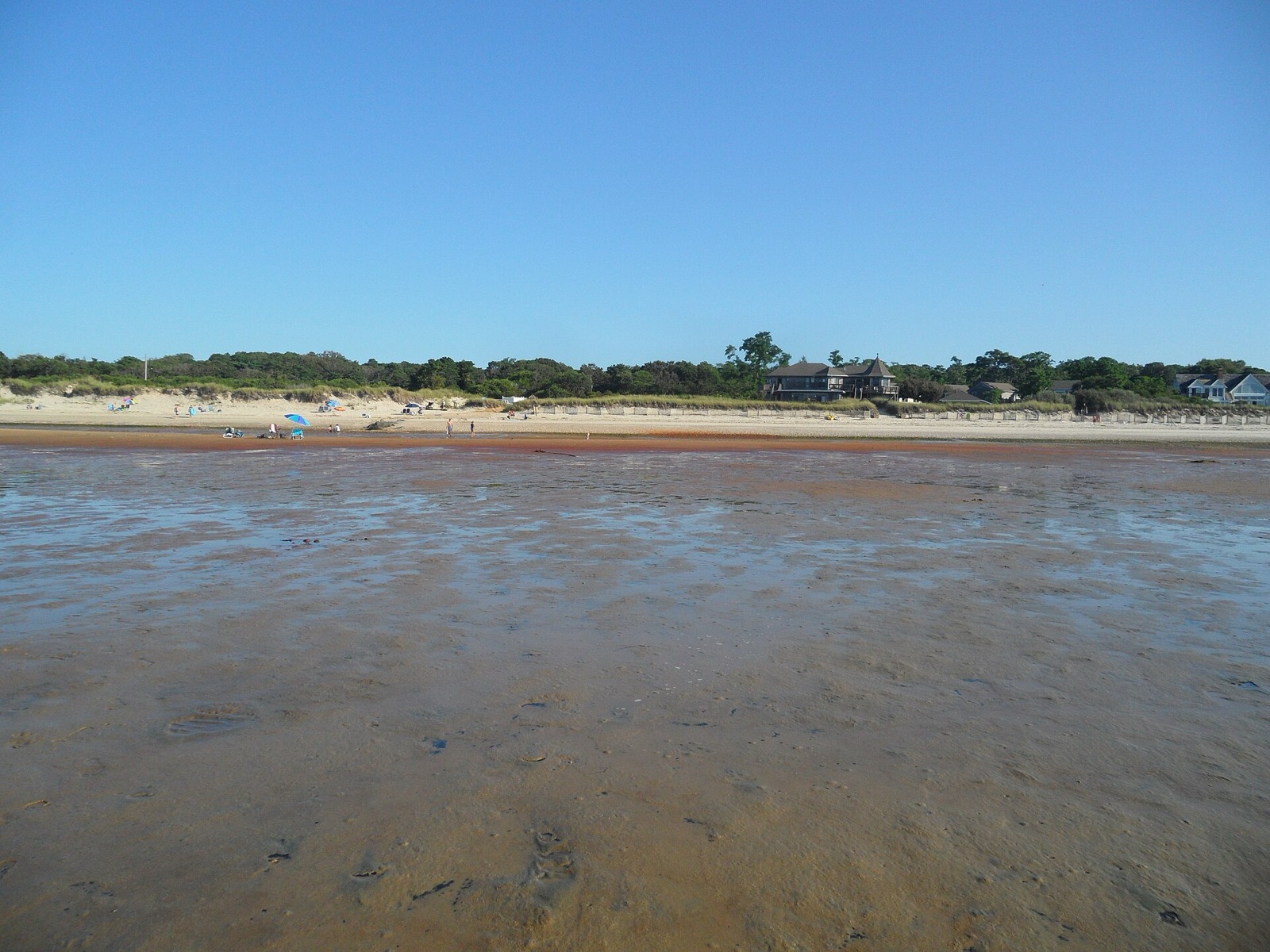
Hero image: “Brewster Flats Tidal Flats on Cape Cod Bay East Brewster Massachusetts” by EgorovaSvetlana, CC BY-SA 4.0