
Oregon Inlet Tide Chart
NOAA harmonic tide predictions for Oregon Inlet Marina (station 8652587), read live in your browser and reproduced as published, with sun and moon times computed for the station.
Reading NOAA predictions for Oregon Inlet Marina...Oregon Inlet tides at a glance
Live · NOAA CO-OPS predictionsNorth Carolina’s ocean beaches carry a steady semidiurnal tide, but Pamlico and Albemarle Sounds behind the Outer Banks are so enclosed that the lunar tide nearly disappears and wind does most of the work of moving water. The inlets between the two worlds run hard in both directions.
Today’s tides at Oregon Inlet
The curve and the highs and lows below are NOAA’s harmonic predictions for Oregon Inlet Marina, station 8652587, requested from api.tidesandcurrents.noaa.gov as you loaded this page and shown in station local time. Heights are feet above mean lower low water (MLLW), the zero NOAA charts use.
Reading NOAA’s harmonic predictions for station 8652587 in your browser…
Oregon Inlet tide table, next 7 days
Every high and low NOAA predicts for the next seven station-local days, with sunrise, sunset and the moon phase alongside, because the three together are what decide whether a low tide is usable. Lows below the MLLW datum are flagged: those minus tides uncover ground an ordinary low never exposes.
Reading NOAA’s harmonic predictions for station 8652587 in your browser…
Times are station local. NOAA’s published disclaimer for these predictions: “These data are based upon the latest information available as of the date of your request, and may differ from the published tide tables.”
The best tide windows at Oregon Inlet this week
These callouts are arithmetic over the NOAA rows above, done in your browser: the lowest low that falls in daylight, any minus tides, the biggest swing and the highest water. They are planning aids for beach walks, fishing and tidepooling, not advice about whether any specific sandbar, flat or crossing is safe. Surf fishing on the Outer Banks is organized around tide stages, especially the falling tide at Cape Point. Shellers work the low at Ocracoke and the southern beaches, and inlet currents decide when small boats and paddlers move.
Reading NOAA’s harmonic predictions for station 8652587 in your browser…
Moon phases, spring tides and king tides at Oregon Inlet
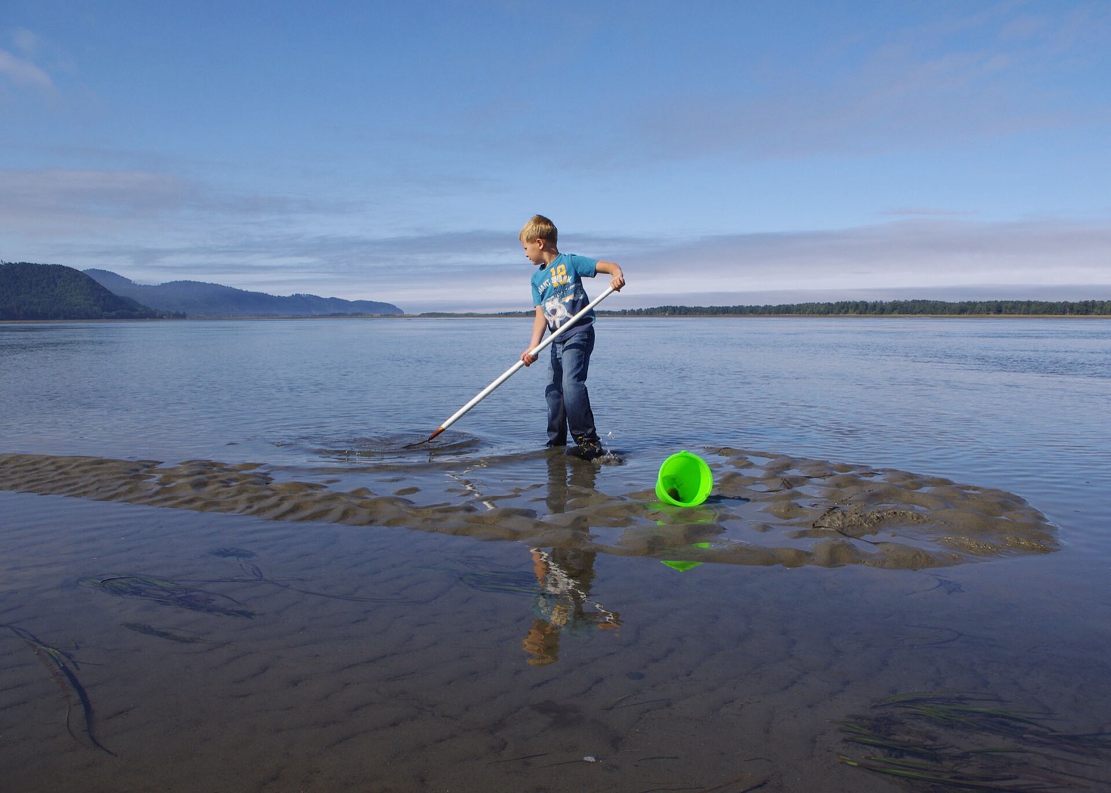
Tides follow the moon. Around new and full moon the sun and moon pull together and Oregon Inlet gets its biggest highs and lowest lows (spring tides); around the quarter moons the pulls partly cancel and the swing shrinks (neap tides). That is why the minus tides and the biggest ranges in the table above cluster around the same few days each month.
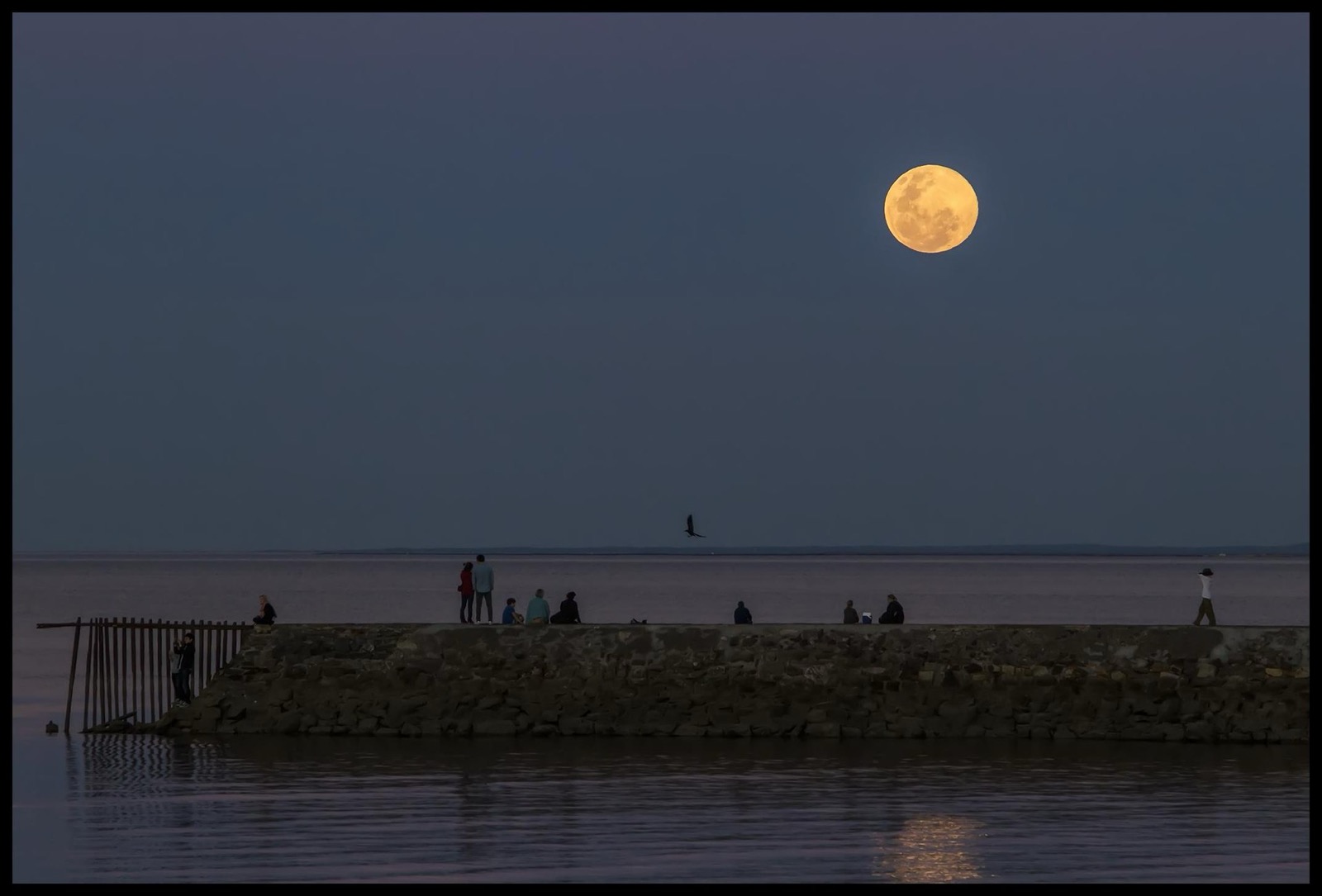
The National Ocean Service adds one more layer: “A King Tide is a non-scientific term people often use to describe exceptionally high tides,” which it notes typically occur “during a new or full moon and when the Moon is at its perigee,” its closest approach to Earth. When a perigean spring tide coincides with onshore weather, the highest highs can reach places the ordinary tide never touches.
King tide dates at Oregon Inlet, October 2026 to March 2027
The highest predicted tides NOAA publishes for Oregon Inlet Marina (station 8652587) from October 1, 2026 to March 31, 2027. The season’s highest is 1.5 ft above MLLW on October 28, 2026 at 10:00 AM, 0.3 ft above mean higher high water (MHHW), the average of each day’s higher high tide at this station. Every predicted high this season stays within 1 ft of MHHW here. The tide range at Oregon Inlet is small enough that the daily highs sit within 0.3 ft of each other for weeks at a time, so the longest window here runs 20 days.
| King tide window | Peak | Predicted high | Above MHHW | Moon at the peak |
|---|---|---|---|---|
| Oct 1 to 16, 2026 Oct 7 6:25 PM · 1.4 ftOct 8 6:52 AM · 1.4 ftOct 9 7:36 AM · 1.5 ftOct 10 8:17 AM · 1.5 ftOct 11 8:56 AM · 1.5 ftOct 12 9:35 AM · 1.4 ftOct 13 10:13 AM · 1.4 ft16 days in this window; the 7 nearest the peak are shown | Oct 10, 8:17 AM | 1.5 ft above MLLW | +0.3 ft | New Moon |
| Oct 23 to Nov 11, 2026 Oct 25 7:41 AM · 1.4 ftOct 26 8:26 AM · 1.5 ftOct 27 9:12 AM · 1.5 ftOct 28 10:00 AM · 1.5 ftOct 29 10:51 AM · 1.5 ftOct 30 11:45 AM · 1.5 ftOct 31 12:43 PM · 1.4 ft20 days in this window; the 7 nearest the peak are shown | Oct 28, 10:00 AM | 1.5 ft above MLLW | +0.3 ft | Waning Gibbous |
| Nov 21 to 29, 2026 Nov 22 5:30 AM · 1.3 ftNov 23 6:19 AM · 1.3 ftNov 24 7:07 AM · 1.4 ftNov 25 7:56 AM · 1.4 ftNov 26 8:45 AM · 1.4 ftNov 27 9:36 AM · 1.4 ftNov 28 10:29 AM · 1.3 ft9 days in this window; the 7 nearest the peak are shown | Nov 25, 7:56 AM | 1.4 ft above MLLW | +0.2 ft | Full Moon |
Heights are NOAA’s predicted high tides for station 8652587 in feet above mean lower low water (MLLW), station local time. Above MHHW is each peak minus NOAA’s published mean higher high water for this station, 1.2 ft above MLLW, so it says how far the tide stands above an average day’s higher high here. A window is the run of consecutive days whose highest tide sits within 0.3 ft of its peak; the shaded row is the season’s highest.
Checking the National Weather Service for active coastal flood products for NWS zone NCZ203…
NOAA’s National Ocean Service: “A King Tide is a non-scientific term people often use to describe exceptionally high tides.” On these pages the term means the highest predicted tides NOAA publishes for a station from October 1, 2026 to March 31, 2027.Source: oceanservice.noaa.gov
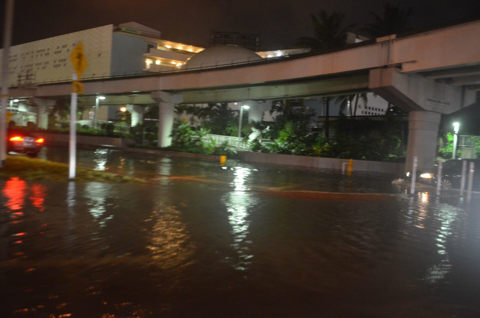
The heights are NOAA’s predictions of the astronomical tide. Wind, barometric pressure and river flow raise or lower the real water level on the day, and the National Weather Service’s coastal flood product for the zone is the authority on whether water is expected over land.
Every North Carolina station on one page: North Carolina king tides. All coasts: US king tides.
About NOAA station 8652587, Oregon Inlet Marina
This page reads NOAA’s harmonic tide predictions: the Center for Operational Oceanographic Products and Services (CO-OPS) analyzed water level records at Oregon Inlet Marina into harmonic constituents, and those constants generate the predictions you see here. The station sits at 35.796, -75.548; the farther a beach or creek is from that point, the more the real timing can differ, especially up estuaries and behind inlets.
NOAA classifies the tide at this station as mixed, meaning the two daily highs (and the two lows) are usually of noticeably different size, so check which low is the lower one before planning around it. The mean range here, NOAA’s published difference between mean high water and mean low water, is 0.91 feet, and the great diurnal range (mean higher high to mean lower low) is 1.18 feet. Spring tides stretch beyond those means; neap tides fall short of them.
NOAA’s disclaimer, as published: “These data are based upon the latest information available as of the date of your request, and may differ from the published tide tables.” Predictions are for NOAA station Oregon Inlet Marina (8652587) and are astronomical tides only: wind, barometric pressure and river flow routinely push the real water level above or below the prediction.
Use these times for planning beach walks, fishing and tidepooling. A tide prediction is not a navigation product and must not be used to navigate a vessel or to judge whether a sandbar, causeway or inlet crossing is passable. For navigation, use official NOAA charts and products at tidesandcurrents.noaa.gov, and for whether it is safe to be somewhere on foot, ask the local authority that manages that shoreline.
Oregon Inlet tide chart FAQ
Make a trip of it
Staying near Oregon Inlet?
Tours & activities near Oregon Inlet
Guided trips and experiences from local operators.
Browse on Viator Places to stay
Stays near Oregon Inlet
Vacation rentals and cabins close to the water.
Browse on VrboWe may earn a commission on bookings made through these links.
More coast planning for North Carolina
Other North Carolina tide charts
Tide predictions on this page are read live in your browser from NOAA CO-OPS (api.tidesandcurrents.noaa.gov) for station 8652587 and reproduced as published; station facts come from the CO-OPS metadata API. NOAA material is US government work in the public domain, attributed here as NOS requests. Sun times and moon phases are computed locally and verified against US Naval Observatory values to within a few minutes. All state pages: US tide charts →
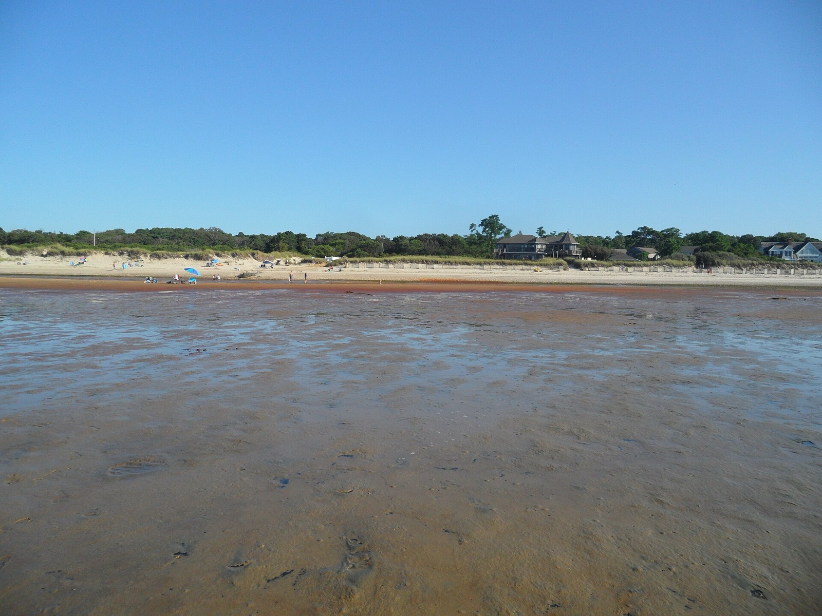
Hero image: “Brewster Flats Tidal Flats on Cape Cod Bay East Brewster Massachusetts” by EgorovaSvetlana, CC BY-SA 4.0