
Arkansas Air Quality: The Seasonal Shape
Early summer ozone season. Which months are worst in Arkansas, why, and what the EPA record actually shows.
Worst stretch in the EPA record: June, with August close behindArkansas air quality at a glance
EPA record, 2020 to 2024Computed from EPA's official daily AQI record for every monitored county in Arkansas, 2020 to 2024. Shares are of monitored county days, so they describe how often air somewhere in the state crossed each line.
Which months are worst for air quality in Arkansas
The chart below is five years of EPA's regulatory monitoring record, 2020 to 2024, folded into a single year: for each month, the share of monitored days in each official AQI category, in EPA's exact colors. Under each bar is the pollutant that most often set the index that month, which is the mechanism in one word: ozone is a sunshine chemistry problem, PM2.5 in winter is a trapped-air problem, PM2.5 in late summer is usually smoke.
The three worst months, ranked
June
2.6% of monitored days reached Unhealthy for Sensitive Groups or worse, and 45% at least Moderate. The index was most often set by ozone. Worst single day: AQI 174 on June 19, 2023.
August
0.5% of monitored days reached Unhealthy for Sensitive Groups or worse, and 38% at least Moderate. The index was most often set by fine particles (PM2.5). Worst single day: AQI 112 on August 6, 2021.
March
0.4% of monitored days reached Unhealthy for Sensitive Groups or worse, and 22% at least Moderate. The index was most often set by ozone. Worst single day: AQI 115 on March 3, 2022.
Ranked by share of days reaching Unhealthy for Sensitive Groups or worse, the first category EPA ties to health effects for anyone. A single bad fire year inside the window can move a month; that is not noise, that is what living with a smoke era means.
Why Arkansas air goes bad when it does
Arkansas's June ozone peak is modest and its air is mostly Delta-humid Moderate. The state's distinctive entries are agricultural: rice field burning in the eastern Delta each fall, and spring smoke drifting in from the prairie burning states to the west.
- Ozone in the central Arkansas corridor on hot stagnant days.
- Agricultural field burning in the Delta during fall.
- Smoke imported from Flint Hills and southern plains burning in spring.
Air quality alerts in Arkansas right now
These are the active National Weather Service air quality products whose zones touch Arkansas, reproduced as issued with the issuing office attached. An Air Quality Alert is written by or for your state's air agency; NWS also issues its own smoke, dust and stagnation advisories. Each is reproduced in full.
Checking api.weather.gov for active air quality alert products…
Today's AQI is at AirNow
EPA's AirNow page for Arkansas publishes the current reading and the official forecast, fed by the same agencies whose alerts appear above. This page carries the other half of the picture: which months are like this every year, and why.
The AQI scale, in EPA's words
Every category on this page uses EPA's official names, ranges and colors, quoted rather than paraphrased. The line that matters most for planning is 101: Unhealthy for Sensitive Groups, the first category EPA ties to health effects, and the threshold the worst-month ranking above counts.
| AQI | Category | What it means |
|---|---|---|
| 0 to 50 | Good | Air quality is satisfactory, and air pollution poses little or no risk. |
| 51 to 100 | Moderate | Air quality is acceptable. However, there may be a risk for some people, particularly those who are unusually sensitive to air pollution. |
| 101 to 150 | Unhealthy for Sensitive Groups | Members of sensitive groups may experience health effects. The general public is less likely to be affected. |
| 151 to 200 | Unhealthy | Some members of the general public may experience health effects; members of sensitive groups may experience more serious health effects. |
| 201 to 300 | Very Unhealthy | Health alert: The risk of health effects is increased for everyone. |
| 301 and higher | Hazardous | Health warning of emergency conditions: everyone is more likely to be affected. |
Category names, index ranges and colors are reproduced exactly from the US EPA, Technical Assistance Document for the Reporting of Daily Air Quality (EPA-454/B-24-002, May 2024), Tables 1 and 2. Meanings quoted from AirNow.gov, AQI Basics.
Who EPA means by sensitive groups
| When this pollutant has an AQI above 100 | EPA lists these sensitive groups |
|---|---|
| Ozone | People with lung disease, such as asthma; children, including teenagers; people who are active outdoors; and older adults. |
| Fine particle pollution (PM2.5) and particle pollution (PM10) | People with heart or lung disease; older adults; and children, including teenagers. In addition, some minority groups, people with lower incomes, and outdoor workers may experience higher exposure that can worsen underlying health conditions. |
| Carbon monoxide (CO) | People with heart disease. |
| Nitrogen dioxide (NO2) | People with lung disease, such as asthma; children, including teenagers; and older adults. |
| Sulfur dioxide (SO2) | People with asthma; children, including teenagers; and older adults. |
What EPA says sensitive groups should do on an orange day
Sensitive groups: Make outdoor activities shorter and less intense. Take more breaks. Watch for symptoms such as coughing or shortness of breath. Plan outdoor activities in the morning when ozone is lower. People with asthma: Follow your asthma action plan and keep quick-relief medicine handy.
EPA cautionary statement for Ozone (8-hour), Unhealthy for Sensitive Groups, quoted from the US EPA, Technical Assistance Document for the Reporting of Daily Air Quality (EPA-454/B-24-002, May 2024), Table 5.
Sensitive groups: Make outdoor activities shorter and less intense. It's OK to be active outdoors but take more breaks. Watch for symptoms such as coughing or shortness of breath. People with asthma: Follow your asthma action plan and keep quick relief medicine handy. People with heart disease: Symptoms such as palpitations, shortness of breath, or unusual fatigue may indicate a serious problem. If you have any of these, contact your health care provider.
EPA cautionary statement for PM2.5 (24-hour), Unhealthy for Sensitive Groups, quoted from the US EPA, Technical Assistance Document for the Reporting of Daily Air Quality (EPA-454/B-24-002, May 2024), Table 5.
Everything above is EPA’s language, quoted. On any day that matters, the decision belongs with the official product for your location and your own clinician.
Arkansas air quality FAQ
Air quality seasons in other states
Monthly figures are computed from EPA Air Quality System daily AQI files (public domain regulatory data), 2020 to 2024, refreshed annually. Alerts are read live in your browser from api.weather.gov and reproduced as issued. AQI category definitions are EPA's, quoted verbatim. Today's measured reading is on EPA's AirNow page for Arkansas.
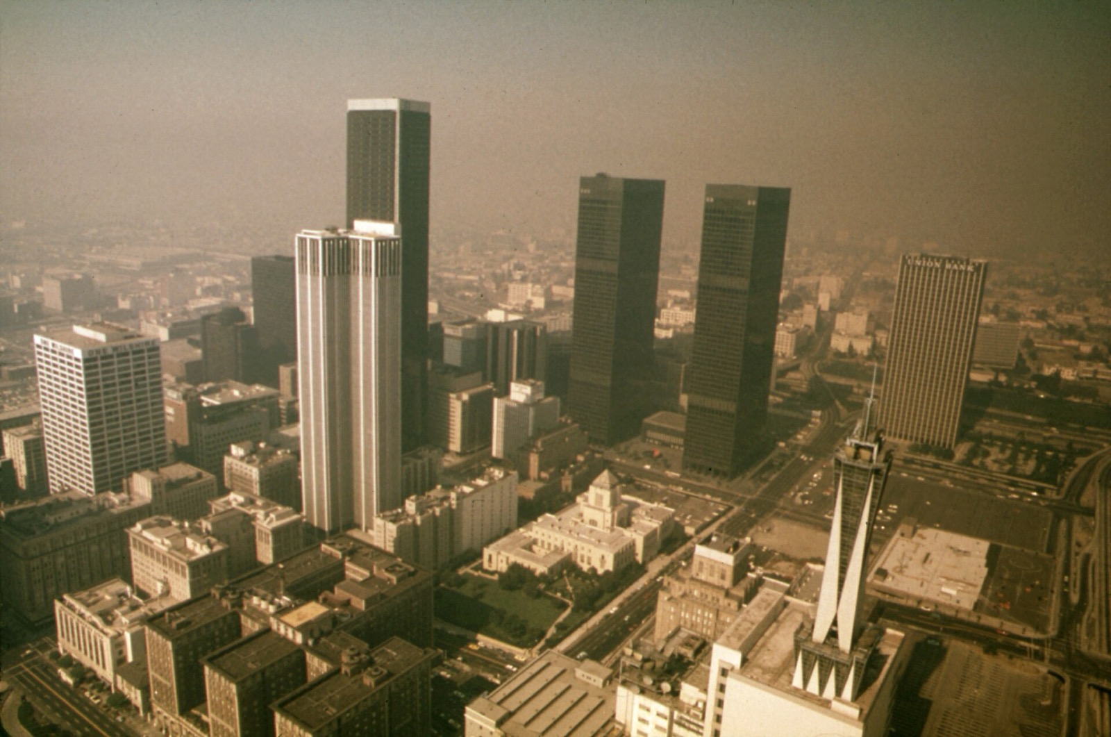
Hero image: “Sunlight and Smog (Documerica)” — Gene Daniels, US EPA, NARA 552395 — Public domain