
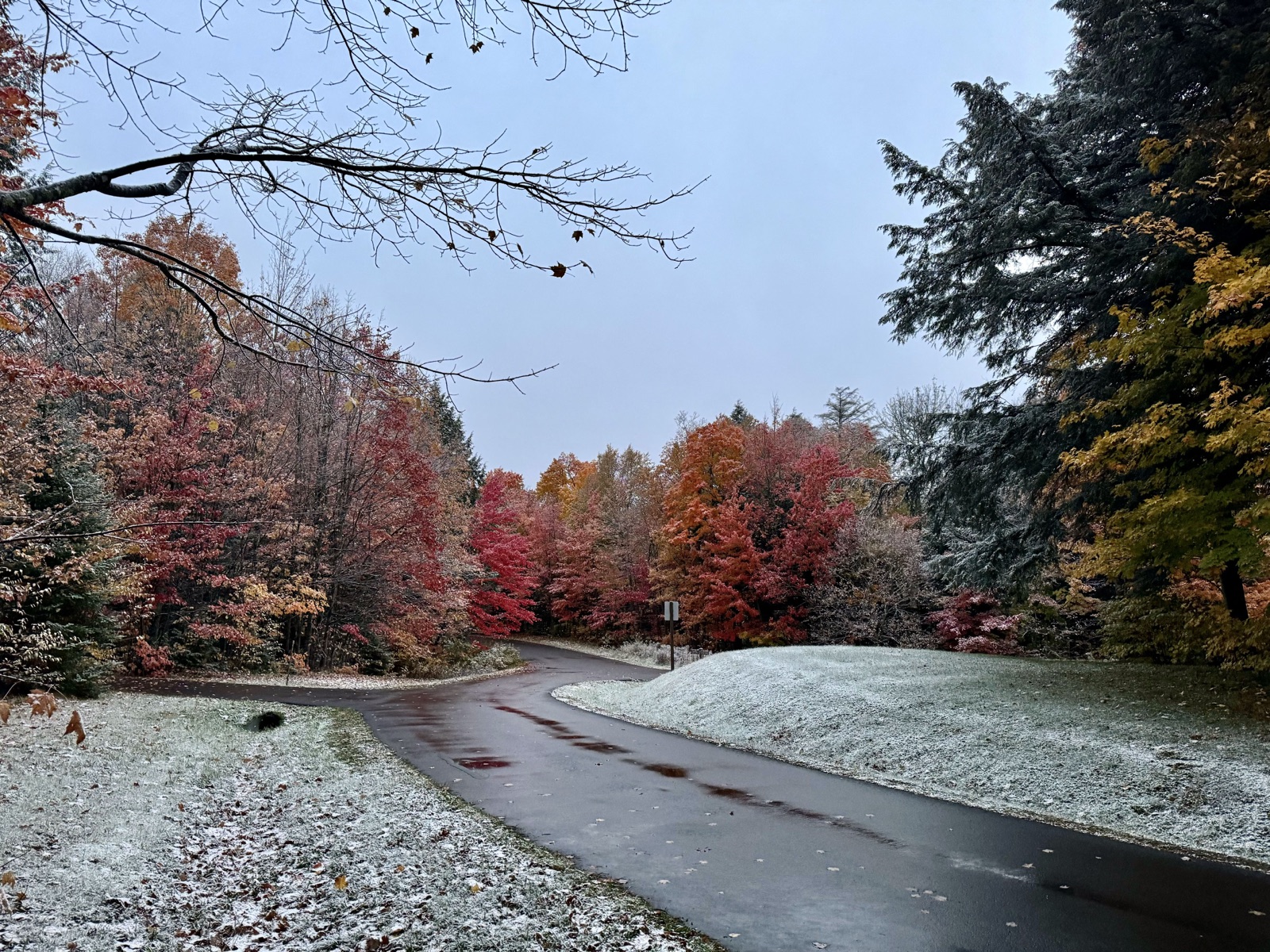
First Snow in South Dakota
Sioux Falls typically sees the season's first measurable snow around November 6. Here is the full window, the rest of the state, and the records.
Typical first snow November 6 at Sioux Falls · 22 days awaySouth Dakota's first snow window
1991-2020 mediansThe Black Hills can be white in September while the James Valley waits for November. Early blizzards are a real Plains hazard.
First snow dates across South Dakota
A state average would hide the real story: elevation, latitude, and nearby water move first snow dates by weeks inside South Dakota. Each row below is one NOAA station's own record over the 1991 to 2020 climate normals period.
| Station | Median first snow | First 1 inch | Winters with snow | Earliest on record |
|---|---|---|---|---|
| Sioux Falls | November 6 | November 7 | 100% | September 25, 1939 (0.2 in) |
| Rapid City | November 9 | November 11 | 100% | September 11, 2014 (0.4 in) |
| Aberdeen | November 2 | November 15 | 100% | September 13, 1903 (0.5 in) |
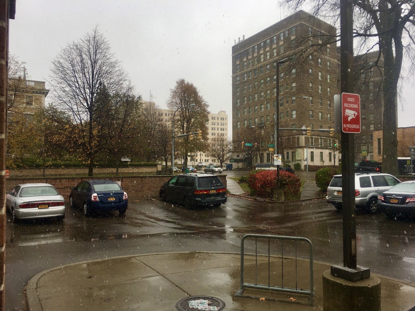
The three first snows of every winter
Every winter actually has three openings, and they are weeks apart. The first flakes come earliest: a trace in the air that melts on contact and never counts in the record books. The first measurable snow, 0.1 inch or more, is what this page tracks and what lands around November 6 at Sioux Falls. The first inch, the one that changes the morning commute, typically waits until around November 7.
The gap exists because early season snow fights a warm ground. The first systems cold enough to snow are usually moisture starved, and the first wet storms are usually a degree or two too warm. When both line up, that is the date neighbors remember.
How the South Dakota dates are calculated
NOAA publishes official 1991 to 2020 climate normals for seasonal snowfall totals, but not for first snow dates. The dates here are derived from NOAA's raw daily station records (GHCN-Daily): for each station, the first day of each July to June snow season with at least 0.1 inch of snowfall, across the 30 seasons of 1991-92 through 2020-21, reported as the 10th, 50th, and 90th percentile dates. Winters with gappy reporting are excluded rather than guessed, values that failed NOAA's own quality checks are skipped, and record earliest dates use each station's full period of record from 1872 onward.
Treat the median as a planning anchor, not a promise: any single winter can run two to three weeks either side, and your neighborhood's elevation can move it as much as the calendar does. Once you are inside the window, the 10 day forecast takes over from climatology.

South Dakota first snow FAQ
The rest of South Dakota's cold season
First snow in nearby states
First snow = first day with 0.1 inch or more of snowfall at the named NOAA station (trace flurries excluded). Medians and windows are our derivation from NOAA NCEI GHCN-Daily records over 1991-2020; seasonal snowfall normals are NOAA's official figures. National picture: first snow dates for every state