
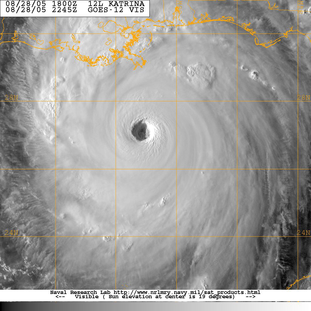
Hurricanes in September
What 175 years of NOAA records show about September in the Atlantic: how much forms, what has hit the US, and where the month sits in the season.
September is the peak of the official Atlantic season, June 1 to November 30. Anything live belongs to the National Hurricane Center.Is there a storm anywhere right now? Go to the National Hurricane Center.
The panel just below republishes the National Hurricane Center’s own latest advisories and outlook, verbatim and timestamped. Tracks, cones and forecasts are the National Hurricane Center’s. If a storm is active or approaching, NHC is the source of official forecasts and warnings, and your emergency management agency is the source of evacuation and shelter decisions.
- National Hurricane Center for current storms, forecasts, watches, and warnings
- Your state emergency management agency for evacuation orders and shelter information
- Ready.gov hurricane preparedness for how to prepare, in FEMA’s own words
“It only takes one hurricane (or tropical storm) to cause a disaster.” NOAA Climate Prediction Center
What NHC is saying right now
Republished verbatim from the National Hurricane Center via the National Weather Service API, with NHC’s own issuance times. For anything that matters, read it at nhc.noaa.gov where it is always current.
Loading the latest NHC products…
September in the Atlantic record
1851 to 2025, NOAA HURDAT2September is the peak, and it is not close. The National Hurricane Center puts the single climatological peak day at September 10, and more named storms have been active in September than in any other month of the record. Every kind of Atlantic storm happens in September: Cape Verde giants, Gulf storms, and everything between.
How busy September actually is
The chart shows every month for comparison, from the same HURDAT2 record; September’s column is the one to read. Because ship reports missed storms in the early record, the comparison to use is the modern one: since 1944, September has averaged about 5.1 named storms active per year.
NHC's September origin map shows genesis across virtually the whole tropical and subtropical Atlantic, the widest spread of any month. See NHC’s monthly origin and track maps.

Every September hurricane to hit the United States
From NOAA AOML’s continental US landfall list: every hurricane whose September landfall brought hurricane conditions to at least one state. The strongest are highlighted; the list scrolls.
| Year | Name | Highest US category | States affected | Pressure |
|---|---|---|---|---|
| 2024 | Francine | Cat 2 | Louisiana | 972 mb |
| 2024 | Helene | Cat 4 | Florida, Georgia | 939 mb |
| 2022 | Ian | Cat 4 | Florida, South Carolina | 941 mb |
| 2021 | Nicholas | Cat 1 | Texas | 991 mb |
| 2020 | Sally | Cat 2 | Alabama, Florida | 965 mb |
| 2019 | Dorian | Cat 2 | North Carolina | 956 mb |
| 2018 | Florence | Cat 1 | North Carolina | 956 mb |
| 2017 | Irma | Cat 4 | Florida | 931 mb |
| 2016 | Hermine | Cat 1 | Florida | 981 mb |
| 2008 | Ike | Cat 2 | Texas, Louisiana | 950 mb |
| 2008 | Gustav | Cat 2 | Louisiana | 954 mb |
| 2007 | Humberto | Cat 1 | Texas, Louisiana | 985 mb |
| 2005 | Rita | Cat 3 | Texas, Louisiana, Florida | 937 mb |
| 2005 | Ophelia | Cat 1 | North Carolina | 982 mb |
| 2004 | Ivan | Cat 3 | Alabama, Florida | 946 mb |
| 2004 | Frances | Cat 2 | Florida | 960 mb |
| 2004 | Jeanne | Cat 3 | Florida | 950 mb |
| 2003 | Isabel | Cat 2 | North Carolina, Virginia | 957 mb |
| 1999 | Floyd | Cat 2 | North Carolina | 956 mb |
| 1998 | Georges | Cat 2 | Mississippi, Florida | 964 mb |
| 1998 | Earl | Cat 1 | Florida | 987 mb |
| 1996 | Fran | Cat 3 | North Carolina | 954 mb |
| 1989 | Hugo | Cat 4 | South Carolina, North Carolina | 934 mb |
| 1988 | Florence | Cat 1 | Louisiana | 984 mb |
| 1985 | Elena | Cat 3 | Mississippi, Alabama, Florida | 959 mb |
| 1985 | Gloria | Cat 3 | North Carolina, New York, Connecticut, New Hampshire, Maine | 942 mb |
| 1984 | Diana | Cat 2 | North Carolina | 949 mb |
| 1979 | Frederic | Cat 3 | Mississippi, Alabama | 946 mb |
| 1979 | David | Cat 2 | Florida, Georgia, South Carolina | 970 mb |
| 1977 | Babe | Cat 1 | Louisiana | 995 mb |
| 1975 | Eloise | Cat 3 | Alabama, Florida | 955 mb |
| 1974 | Carmen | Cat 3 | Louisiana | 952 mb |
| 1971 | Fern | Cat 1 | Texas | 979 mb |
| 1971 | Edith | Cat 2 | Louisiana | 978 mb |
| 1971 | Ginger | Cat 1 | North Carolina | 995 mb |
| 1967 | Beulah | Cat 3 | Texas | 940 mb |
| 1965 | Betsy | Cat 4 | Louisiana, Florida | 946 mb |
| 1964 | Dora | Cat 2 | Florida | 966 mb |
| 1961 | Carla | Cat 4 | Texas | 931 mb |
| 1960 | Ethel | Cat 1 | Louisiana, Mississippi | 980 mb |
| 1960 | Donna | Cat 4 | Florida, North Carolina, Virginia, New York, Connecticut, Rhode Island, Massachusetts | 930 mb |
| 1959 | Gracie | Cat 4 | South Carolina | 951 mb |
| 1958 | Helene | Cat 3 | North Carolina | 938 mb |
| 1956 | Flossy | Cat 1 | Louisiana, Florida | 974 mb |
| 1955 | Ione | Cat 2 | North Carolina | 955 mb |
| 1954 | Edna | Cat 2 | North Carolina, New York, Rhode Island, Massachusetts | 950 mb |
| 1953 | Florence | Cat 1 | Florida | 975 mb |
| 1950 | Easy | Cat 3 | Florida | 960 mb |
| 1948 | Unnamed | Cat 1 | Louisiana | 983 mb |
| 1948 | Unnamed | Cat 4 | Florida | 940 mb |
| 1947 | Unnamed | Cat 4 | Louisiana, Mississippi, Florida | 943 mb |
| 1945 | Unnamed | Cat 4 | Florida | 949 mb |
| 1944 | Great Atlantic | Cat 2 | North Carolina, Virginia, New Jersey, New York, Connecticut, Rhode Island, Massachusetts | 954 mb |
| 1941 | Unnamed | Cat 3 | Texas | 942 mb |
| 1938 | Great New England | Cat 3 | New York, Connecticut, Rhode Island, Massachusetts | 941 mb |
| 1936 | Unnamed | Cat 1 | North Carolina, Virginia | 964 mb |
| 1935 | Labor Day | Cat 5 | Florida, Georgia | 892 mb |
| 1934 | Unnamed | Cat 1 | North Carolina, New Jersey, New York | 975 mb |
| 1933 | Unnamed | Cat 3 | Texas | 940 mb |
| 1933 | Unnamed | Cat 3 | Florida | 948 mb |
| 1933 | Unnamed | Cat 2 | North Carolina, Virginia | 952 mb |
| 1932 | Unnamed | Cat 1 | Alabama, Florida | 979 mb |
| 1928 | Lake Okeechobee | Cat 4 | Florida, Georgia, South Carolina | 929 mb |
| 1926 | Great Miami | Cat 4 | Mississippi, Alabama, Florida | 930 mb |
| 1924 | Unnamed | Cat 1 | Florida | 980 mb |
| 1920 | Unnamed | Cat 2 | Louisiana | 975 mb |
| 1919 | Unnamed | Cat 4 | Texas, Florida | 927 mb |
| 1917 | Unnamed | Cat 3 | Louisiana, Alabama, Florida | 949 mb |
| 1915 | New Orleans | Cat 3 | Louisiana, Mississippi | 944 mb |
| 1915 | Unnamed | Cat 1 | Florida | 982 mb |
| 1913 | Unnamed | Cat 1 | North Carolina | 976 mb |
| 1912 | Unnamed | Cat 1 | Alabama, Florida | 986 mb |
| 1910 | Unnamed | Cat 2 | Texas | 965 mb |
| 1909 | Grand Isle | Cat 3 | Louisiana, Mississippi | 952 mb |
| 1906 | Unnamed | Cat 2 | Louisiana, Mississippi, Alabama, Florida | 958 mb |
| 1906 | Unnamed | Cat 1 | South Carolina, North Carolina | 977 mb |
| 1904 | Unnamed | Cat 1 | South Carolina | 985 mb |
| 1903 | Unnamed | Cat 1 | Florida | 974 mb |
| 1903 | Unnamed | Cat 1 | Delaware, New Jersey | 990 mb |
| 1900 | Galveston | Cat 4 | Texas | 936 mb |
| 1897 | Unnamed | Cat 1 | Texas, Louisiana | 978 mb |
| 1896 | Unnamed | Cat 3 | Florida, Georgia, South Carolina, North Carolina, Virginia | 960 mb |
| 1896 | Unnamed | Cat 1 | Rhode Island, Massachusetts | 985 mb |
| 1894 | Unnamed | Cat 2 | Florida, South Carolina, Virginia | 975 mb |
| 1893 | Unnamed | Cat 2 | Louisiana | 970 mb |
| 1889 | Unnamed | Cat 1 | Louisiana | 982 mb |
| 1887 | Unnamed | Cat 1 | Texas | 973 mb |
| 1886 | Unnamed | Cat 1 | Texas | 973 mb |
| 1883 | Unnamed | Cat 2 | South Carolina, North Carolina | 965 mb |
| 1882 | Unnamed | Cat 3 | Alabama, Florida | 949 mb |
| 1881 | Unnamed | Cat 2 | North Carolina | 975 mb |
| 1880 | Unnamed | Cat 1 | North Carolina | 987 mb |
| 1879 | Unnamed | Cat 3 | Louisiana | 945 mb |
| 1878 | Unnamed | Cat 2 | Florida, Georgia, South Carolina | 970 mb |
| 1877 | Unnamed | Cat 1 | Louisiana, Florida | 982 mb |
| 1876 | Unnamed | Cat 1 | North Carolina, Virginia | 980 mb |
| 1875 | Unnamed | Cat 3 | Texas | 955 mb |
| 1874 | Unnamed | Cat 1 | Florida, South Carolina, North Carolina | 981 mb |
| 1873 | Unnamed | Cat 1 | Florida | 982 mb |
| 1871 | Unnamed | Cat 1 | Florida | 982 mb |
| 1869 | Unnamed | Cat 1 | Louisiana | 982 mb |
| 1869 | Eastern New England | Cat 3 | New York, Connecticut, Rhode Island, Massachusetts | 963 mb |
| 1865 | Sabine River | Cat 2 | Texas, Louisiana | 965 mb |
| 1861 | Equinoctial | Cat 1 | North Carolina | 985 mb |
| 1860 | Unnamed | Cat 2 | Louisiana, Mississippi, Alabama | 965 mb |
| 1859 | Unnamed | Cat 1 | Alabama, Florida | 982 mb |
| 1858 | New England | Cat 1 | New York, Connecticut, Rhode Island, Massachusetts | 976 mb |
| 1857 | Unnamed | Cat 2 | North Carolina | 961 mb |
| 1855 | Middle Gulf Shore | Cat 3 | Louisiana, Mississippi | 945 mb |
| 1854 | Matagorda | Cat 2 | Texas | 965 mb |
| 1854 | Great Carolina | Cat 3 | Florida, Georgia, South Carolina | 950 mb |
| 1852 | Unnamed | Cat 1 | Florida | 982 mb |
How complete is this record?
“Because of the sparseness of towns and cities before 1900 in some coastal locations along the United States, the above list is not complete for all states. Before the Gulf of Mexico and Atlantic coasts became settled, hurricanes may have been underestimated in their intensity or missed completely for small-sized systems (i.e., 2004's Hurricane Charley).”NOAA Atlantic Oceanographic and Meteorological Laboratory, Hurricane Research Division, source
Where September sits in the season
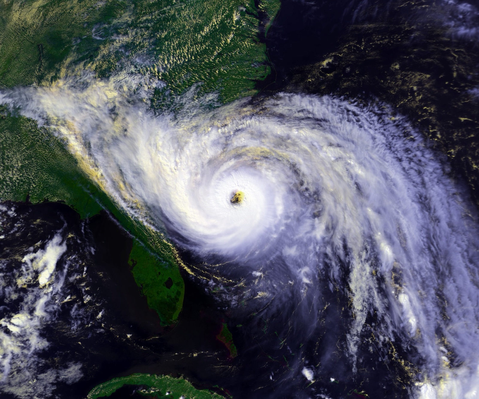
The season’s shape is set by NOAA’s own dates and peak:
“The Atlantic hurricane season runs from June 1 to November 30.”National Hurricane Center, source
“The peak of the Atlantic hurricane season is September 10, with most activity occurring between mid-August and mid-October.”National Hurricane Center, source
Hurricanes in September: FAQ
The rest of the season
Hurricane season by state
Counts derived from NOAA HURDAT2 (hurdat2-1851-2025-02272026.txt) and NOAA AOML’s continental US hurricane landfall list (Revised in March 2026 to add in the 2025 season). For anything current: nhc.noaa.gov.