
Montana · Flathead / Lake County
Flathead Lake
Polson · Bigfork · Lakeside · Somers
Loading live conditions for Flathead Lake…
Make a day of it
Plan your visit to Flathead Lake
Things to doTours & activities on Flathead Lake
Boat cruises, fishing trips, kayak rentals, and guided adventures from local operators.
Browse activities on Viator Places to stay
Lake houses & rentals
Vacation rentals right on the water.
Browse rentals on VrboWe may earn a commission on bookings made through these links.
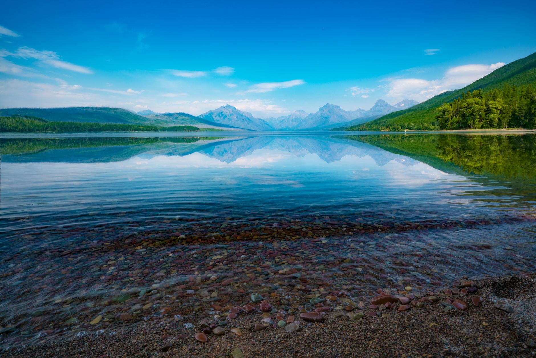
"The largest natural freshwater lake west of the Mississippi (in the lower 48). Surrounded by the Mission and Salish Mountain ranges, 30 minutes south of Glacier National Park. Famously clear, cold, and home to Flathead cherry orchards lining the east shore. Mostly Confederated Salish and Kootenai Tribes territory."
Seasonal pattern
When does Flathead Lake warm up?
Flathead Lake is deep (max depth 370ft) and carries significant thermal inertia, so it warms slowly — surface temperatures typically don't reach comfortable swimming range until late June or early July. Spring-fed or alpine lakes stay cooler all summer. The live forecast above shows current conditions.
Field notes
About Flathead Lake
- Largest natural freshwater lake in the lower 48 west of Mississippi
- 30 minutes south of Glacier National Park
- East shore is Montana's cherry-growing region
- Mostly within the Flathead Indian Reservation
- Surface area
- 122,500 acres
- Max depth
- 370 ft
- County
- Flathead / Lake
- Water data
- Modeled estimate from air-temp trends