
New Hampshire · Coos County
Lake Umbagog
Errol · Cambridge · Upton
Loading live conditions for Lake Umbagog…
Surface area7,850acres
Max depth50feet
CountyCoos
Data sourceEWMA modelAir-temp trend
Advertisement
Make a day of it
Plan your visit to Lake Umbagog
Things to doTours & activities on Lake Umbagog
Boat cruises, fishing trips, kayak rentals, and guided adventures from local operators.
Browse activities on Viator Places to stay
Lake houses & rentals
Vacation rentals right on the water.
Browse rentals on VrboWe may earn a commission on bookings made through these links.
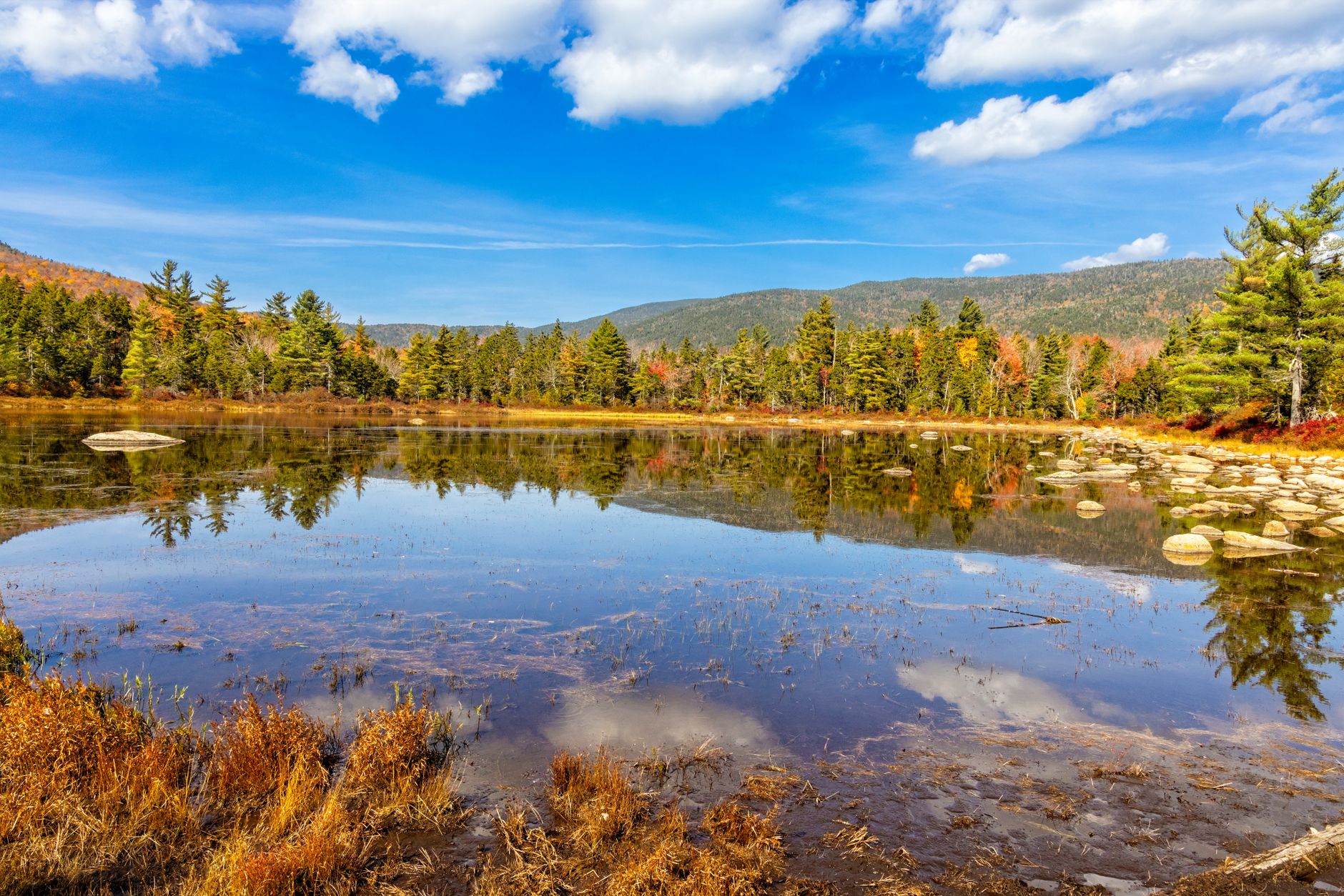
"A remote, mostly-undeveloped lake straddling the NH/ME border in the North Country. Loon-watching, paddling, and Umbagog National Wildlife Refuge make this the quiet alternative to the busy Lakes Region."
Seasonal pattern
When does Lake Umbagog warm up?
Lake Umbagog (max depth 50ft) typically reaches swim-comfortable surface temperatures (65°F+) by early to mid-June in New Hampshire. The live forecast above shows current conditions.
Advertisement
Field notes
About Lake Umbagog
- Shallow — water responds quickly to air-temp swings
- Half in Maine, half in NH
- Federal wildlife refuge — limited shoreline development
- Surface area
- 7,850 acres
- Max depth
- 50 ft
- County
- Coos
- Water data
- Modeled estimate from air-temp trends
Advertisement