
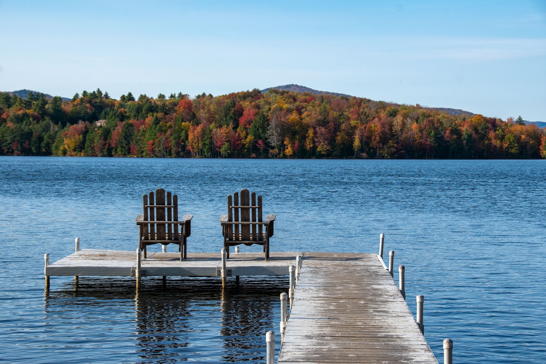
Vermont · Chittenden / Grand Isle / Addison / Franklin County
Lake Champlain
Burlington · South Hero · Vergennes · St. Albans
Loading live conditions for Lake Champlain…
Make a day of it
Plan your visit to Lake Champlain
Things to doTours & activities on Lake Champlain
Boat cruises, fishing trips, kayak rentals, and guided adventures from local operators.
Browse activities on Viator Places to stay
Lake houses & rentals
Vacation rentals right on the water.
Browse rentals on VrboWe may earn a commission on bookings made through these links.
"Vermont's western shoreline and the sixth-largest natural lake in the contiguous US — 120 miles long with the Adirondacks on the NY shore and the Greens on the VT shore. Burlington's waterfront is the urban heart; the Champlain Islands are quieter and more rural. Has sturgeon. (Possibly Champ, too.)"
Seasonal pattern
When does Lake Champlain warm up?
Lake Champlain is deep (max depth 400ft) and carries significant thermal inertia, so it warms slowly — surface temperatures typically don't reach comfortable swimming range until late June or early July. Spring-fed or alpine lakes stay cooler all summer. The live forecast above shows current conditions.
Field notes
About Lake Champlain
- 6th-largest natural lake in the contiguous US
- Straddles VT/NY/QC; bulk of recreation infrastructure is on the VT side
- Live USGS sensor at Burlington — reliable real-time reading
- Famous lake monster legend: Champ
- Surface area
- 271,000 acres
- Max depth
- 400 ft
- County
- Chittenden / Grand Isle / Addison / Franklin
- Water data
- Live USGS sensor
- USGS site
- 04294500