
Alabama King Tides 2026 to 2027
Peak dates and predicted heights for the highest tides NOAA publishes at 4 Alabama stations from October 1, 2026 to March 31, 2027, with the National Weather Service's coastal flood products for the state's zones shown live.
Next king tide dates in Alabama: Nov 25, 2026 (1 of 4 stations)Alabama king tides at a glance
NOAA CO-OPS predictions, October 2026 to March 2027The highest predicted tide of the October 2026 to March 2027 season in Alabama is 2.0 ft above MLLW at Dauphin Island, 0.8 ft above mean higher high water. The first king tide window in the state opens Oct 1 at Mobile.
Alabama king tide dates and heights
Every NOAA harmonic station on the Alabama coast, with the first king tide window of the season, the season’s highest predicted tide, and how far that peak stands above mean higher high water (MHHW), the average of each day’s higher high tide at that station. Each tide chart page lists all of the station’s windows, day by day, with the moon phase and the live NWS product for its zone.
| Tide chart | First king tide window | Season high | Above MHHW | Days 1 ft or more over MHHW | NWS zone |
|---|---|---|---|---|---|
| Mobile | Oct 1 to 5, 2026, peak Oct 2 3:58 AM | 2.3 ft above MLLW | +0.7 ft | 0 | ALZ263 |
| Dauphin Island | Oct 1 to 5, 2026, peak Oct 2 2:26 AM | 2.0 ft above MLLW | +0.8 ft | 0 | ALZ265 |
| Gulf Shores | Oct 1 to 6, 2026, peak Oct 3 4:35 AM | 1.8 ft above MLLW | +0.6 ft | 0 | ALZ266 |
| Orange Beach | Nov 22 to 28, 2026, peak Nov 25 9:04 PM | 1.4 ft above MLLW | +0.5 ft | 0 | ALZ266 |
Heights are NOAA’s predicted highs in feet above mean lower low water (MLLW), station local time. Days 1 ft or more over MHHW counts the station local days from October 1, 2026 to March 31, 2027 whose highest predicted tide reaches at least one foot above MHHW. The NWS zone is the National Weather Service public forecast zone the station’s coastal flood products are issued for.
Dates the Alabama stations share
The peak dates on which the state’s stations reach their king tide windows together, with the station whose peak stands highest above its own MHHW on each. The moon column is the phase at that peak: the biggest predicted tides follow the new and full moons that fall nearest the moon’s closest approach to Earth, which is why the same dates recur along the whole coast.
| Peak dates | Stations peaking then | Highest above MHHW | Moon |
|---|---|---|---|
| Oct 2 to 3, 2026 | 3 of 4 | Dauphin Island, AL +0.8 ft 2.0 ft above MLLW, Oct 2 2:26 AM | Last Quarter |
| Oct 14, 2026 | 1 of 4 | Mobile, AL +0.4 ft 2.1 ft above MLLW, Oct 14 1:45 AM | Waxing Crescent |
| Oct 27 to 30, 2026 | 3 of 4 | Dauphin Island, AL +0.8 ft 2.0 ft above MLLW, Oct 30 1:11 AM | Waning Gibbous |
| Nov 25, 2026 | 1 of 4 | Orange Beach, AL +0.5 ft 1.4 ft above MLLW, Nov 25 9:04 PM | Full Moon |
| Dec 23, 2026 | 1 of 4 | Orange Beach, AL +0.5 ft 1.4 ft above MLLW, Dec 23 8:29 PM | Full Moon |
| Jan 20, 2027 | 1 of 4 | Orange Beach, AL +0.5 ft 1.3 ft above MLLW, Jan 20 8:19 PM | Full Moon |

Coastal flood products for the Alabama coast right now
The National Weather Service issues Coastal Flood Advisories, Watches, Warnings and Statements for each public forecast zone when it expects water over land. The Alabama stations on this page sit in 3 NWS zones (ALZ263, ALZ265, ALZ266), and any product active for them is shown here as NWS issued it.
Checking the National Weather Service for active coastal flood products for the Alabama coast (3 NWS zones)…
The heights are NOAA’s predictions of the astronomical tide. Wind, barometric pressure and river flow raise or lower the real water level on the day, and the National Weather Service’s coastal flood product for the zone is the authority on whether water is expected over land.
Alabama king tides FAQ
NOAA’s National Ocean Service: “A King Tide is a non-scientific term people often use to describe exceptionally high tides.” On these pages the term means the highest predicted tides NOAA publishes for a station from October 1, 2026 to March 31, 2027.Source: oceanservice.noaa.gov
More coast planning
King tides in other states
Tide heights are NOAA CO-OPS harmonic predictions (https://api.tidesandcurrents.noaa.gov/api/prod/datagetter) for October 1, 2026 to March 31, 2027, reproduced as published, with MHHW and MLLW from the CO-OPS station datums; NWS zones from api.weather.gov; data built 2026-09-19. NOAA and NWS material is US government work in the public domain, attributed as NOS requests. NOAA’s published disclaimer applies to every prediction shown: “These data are based upon the latest information available as of the date of your request, and may differ from the published tide tables.” All coasts: US king tides.
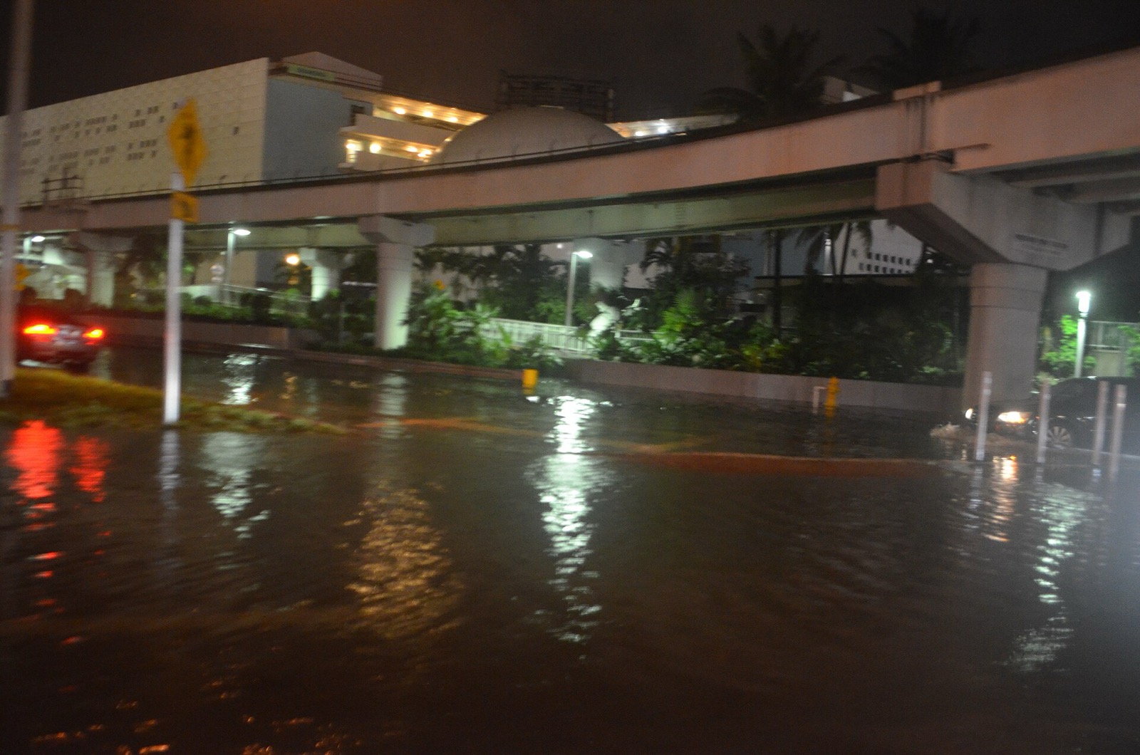
Hero image: “Miami tidal flooding with rain at high tide during king tides 02” — B137 — CC0