
Texas Elk Rut 2026
Inside the published rut window now. Every date, place and distance below is quoted from the agency that published it, with the link. Texas publishes no minimum viewing distance in yards or feet; the guidance posted by the agency that manages each site applies.
Weather at McKittrick Canyon, Guadalupe Mountains National Park
Bugling is a dawn and dusk business, so the overnight low and the sky cover are the two things that decide whether standing in a meadow at six in the morning in Texas is worth it. This reads the National Weather Service forecast for this exact spot and shows you its own words.
When elk bugle in Texas
Texas: the rut window its agencies publish
August 20 to November 30
Inside the published window now. No source names a peak for this state.
Bugling marks the beginning of the breeding season. It usually starts in late summer and lasts through November.Texas Parks and Wildlife Department. Read it on the source page
This is the longest published rut window in the country and the only one that opens before September. It is a statewide statement across a very large state rather than a description of any one herd.
Read that as climatology, not as a forecast. The agencies are describing when the rut normally runs where they work, and a warm autumn or a hard early cold snap moves it. What does not move much is the shape: bulls are loudest for a few weeks, the noise tails off, and the animals go quiet and start moving to winter range.
Two cautions on Texas that most pages get wrong. The 30 to 40 figure is the Guadalupe Mountains National Park herd only and is not a statewide count, and Texas Parks and Wildlife’s own description of free ranging elk in west Texas sits alongside high fence ranch stock across the state, which is a different thing from a managed public wild herd. No Texas agency publishes an elk viewing site or a minimum distance.
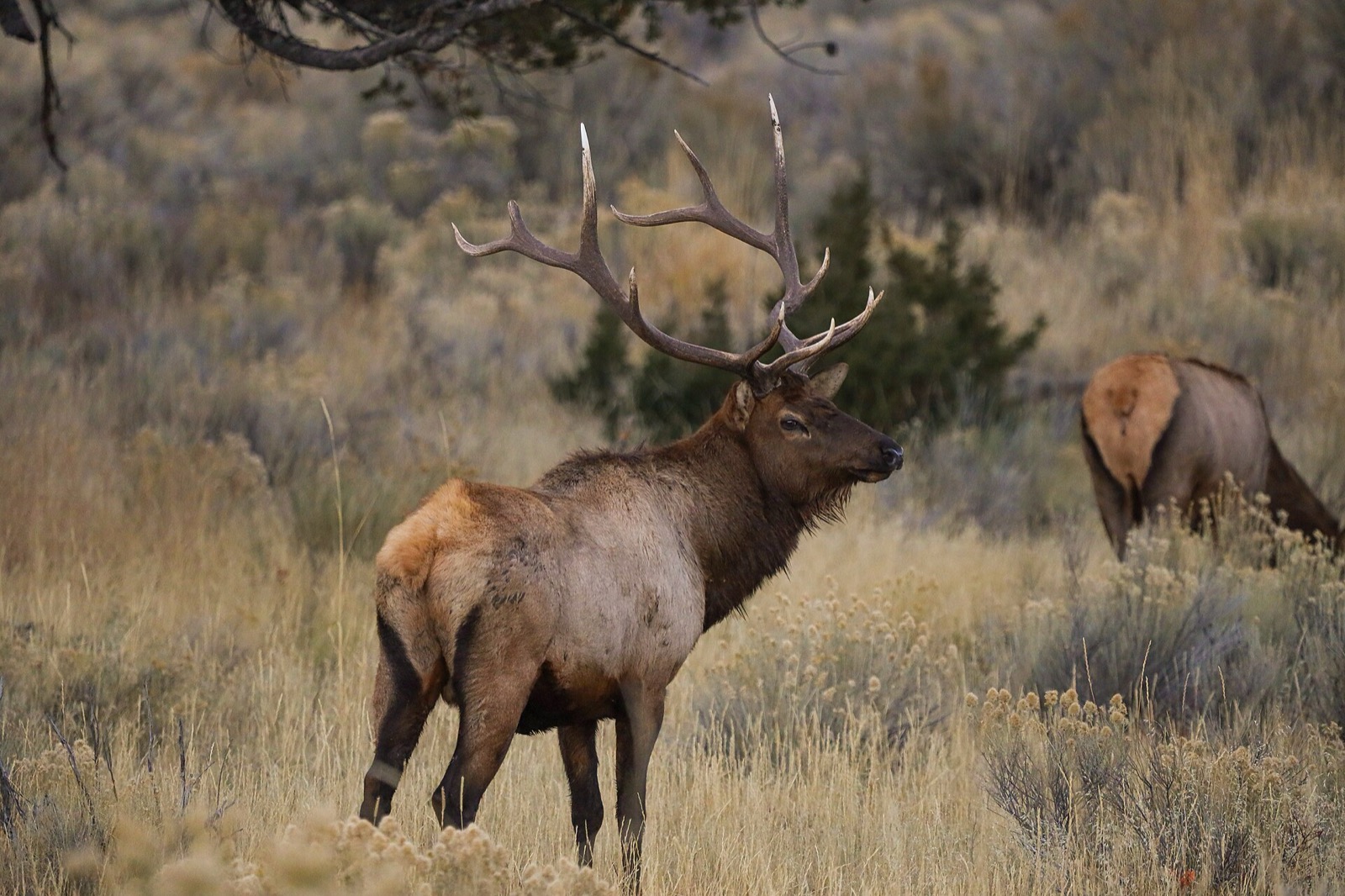
The elk of Texas
Reintroduced herdEast of the Rockies
Free ranging elk across much of west Texas, plus a small, well documented herd in Guadalupe Mountains National Park descended from 44 animals a rancher brought from the Black Hills in 1928. The native Guadalupe elk were shot out by the late 1800s.
In 1928, rancher J.C. Hunter imported 44 elk from the Black Hills of South Dakota and released them in McKittrick Canyon. Today the population is estimated to be between 30 and 40 animals.National Park Service, Guadalupe Mountains National Park. Read it on the source page
Public places Texas’s own agencies send you
These are the sites the managing agency names on its own page, all of them on public ground.
McKittrick Canyon, Guadalupe Mountains National Park
National Park ServiceIn the Guadalupe Mountains of far west Texas, where the 1928 release happened and where the park’s 30 to 40 elk still live.
National Park Service page for McKittrick Canyon, Guadalupe Mountains National Park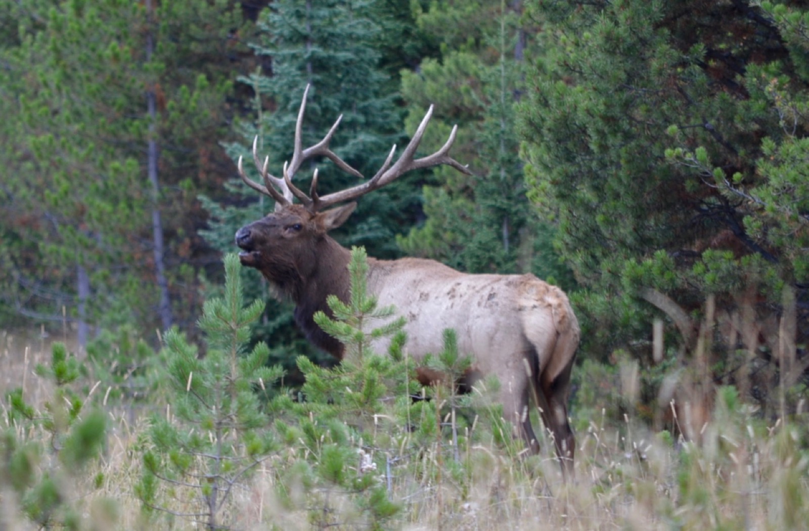
How far back to stand in Texas
A rutting bull elk weighs as much as a small car, is running on hormones and has antlers he is actively looking for something to fight. People are hurt by elk in the United States every autumn, usually while walking towards one with a phone held up. This is the one section of this site that is not about timing.
What the agencies themselves say about distance
No Texas agency publishes a minimum viewing distance in yards or feet. That is not permission to get closer. Ask the agency that manages the site before you go, keep to your vehicle or the viewing structure, and use a long lens.
The distances above are what the managing agencies publish, reproduced with their names on them. Where they differ, and they do differ by a factor of four across the country, the rule that applies to you is the one published by whoever manages the ground you are standing on.
Where the Texas records actually are
This is the empirical half of the page, and it answers a different question from the dates above. The map is every verifiable iNaturalist record of Cervus canadensis drawn as a grid of counts, so it shows where in Texas people have actually recorded elk, updated whenever somebody uploads another one. It under draws roadless country and over draws parks and roadsides, because that is where the people are.
Coloured cells are verified Cervus canadensis records on iNaturalist, brighter where more have been logged. This is where people have found and photographed the species, so it thins out over roadless country and thickens around parks and towns. It is a record map, not a drawn range boundary. See the underlying records.
If you toggle that chart to the adjusted series it divides by every research grade observation of anything in Texas in the same month, which removes observer effort. In the big western states that correction pushes the peak into January and February, because elk come down to winter range where you can see them from a car and because almost nobody is recording anything else outdoors in a Rockies winter. That is a real pattern about elk and about people, and it is still not the rut. See the underlying Texas records on iNaturalist.
In October, Texas has historically produced 15 of those records.
Elk rut timing in other states
Texas elk rut questions
Rut windows on this page are climatology published by the named agency, not a forecast, and MyWild adds no model of its own on top of them. Distances are quoted from the managing agency and are not this site’s advice. Live weather comes from api.weather.gov and is shown with the issuing office and the time it was generated. Nothing here should be read as a statement that approaching an elk is ever safe.