
Indiana Lake Effect Snow
A small, genuine belt tucked against Lake Michigan's southern end: LaPorte, Porter and St. Joseph Counties, including South Bend.
Lake Michigan drives this beltIndiana snowbelt at a glance
NOAA NCEI normals, 1991-2020Seasonal snowfall normals from NOAA NCEI’s 1991-2020 U.S. Climate Normals, each attributed to its named station. Belt gradients are sharp enough that these single stations understate or overstate nearby towns by feet per season.
Where and why lake effect snow hits Indiana
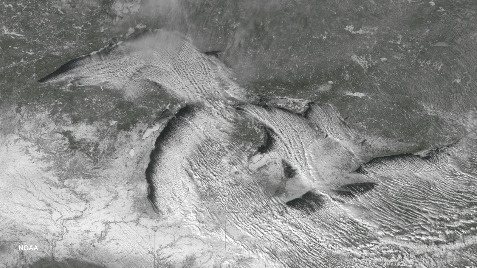
Indiana's corner of the lake gets its biggest hits when flow turns due north, giving bands the longest fetch on the lake. Those setups are occasional rather than routine, so South Bend and LaPorte average around 65 inches a year, double or triple the rest of the state but a fraction of the Michigan belts across the border.
The setup
North-northwest flow that runs the full 300 mile length of Lake Michigan before landing on Michiana.
The geography
Less-common northerly setups, which is why Indiana's belt is thinner than Michigan's but real when the wind aligns.
Indiana snowbelt cities
Each city page carries monthly NOAA normals for its named station, the local mechanism, and the live NWS product feed.
The season shape, at LaPorte
NWS winter products active in Indiana right now
Every active NWS winter product whose zones touch Indiana, read live from api.weather.gov and reproduced exactly as issued, with issuer and timestamps.
Checking api.weather.gov for active winter weather products…
Why the mixed product names: for the 2017-2018 winter the NWS consolidated its lake effect products into the general winter suite. The Lake Effect Snow Warning came back on October 1, 2019, but per Service Change Notice 19-63 its use is “optional at Regional discretion” and offices may still issue Winter Storm Warnings “with the lake effect component specified in the ‘What’ section”. The old Lake Effect Snow Watch and Advisory were never reinstated. So this page passes through every winter product for the area and tags the ones whose own NWS text names lake effect.
Whiteout and travel decisions belong with the National Weather Service (weather.gov winter safety) and the Indiana 511 system (511 road conditions). NWS products above are reproduced as issued.
Documented Indiana lake effect events
January 30-31, 2026: the Porter County event
NWS Chicago's event review documents a lake effect snow event with significant accumulations in Porter County, Indiana, with the dominant band shifting between northwest Indiana and northeast Illinois overnight. (NWS Chicago event summary)
Indiana lake effect snow FAQ
Lake effect snow in other states
Snowfall normals: NOAA NCEI 1991-2020 U.S. Climate Normals, by named station (public domain). Alerts: api.weather.gov, reproduced as issued. Record events cite the NWS office write-ups linked inline. Ice statistics are our arithmetic on NOAA GLERL daily records, labeled as such. No road or safety advice of ours appears on this page.
Hero image: “Grand Haven Pier Snow” — Andy Hanson — CC0