
Montana Ski Season 2026-27: When to Go
Typical season December 12 to April 5, snowiest in Dec. Season timing from 30 years of NOAA normals; today's base depth and lifts open are on each area's own site.
Snowiest months here: Dec, Jan, FebThe Montana ski season at a glance
Climatology, 2026-27Montana skiing is spread across two very different climates: the Continental Divide areas get cold, dry snow, while the northwest corner near Whitefish sits in a maritime storm track and gets heavier snow and more fog.
When should I go skiing in Montana?
Enormous terrain, thin crowds, and long drives. Montana has some of the least-skied big mountains in the country simply because nothing in Montana is close to anything else. High-elevation areas here open on natural snow as much as on snowmaking, so the calendar bends with the weather: a cold, wet October can put a state open two weeks early, and a warm one pushes almost everything to December.
Montana, month by month
Normal monthly snowfall at HEBGEN DAM, 6,489 ft, about 29 miles from the nearest of the listed Montana areas. NOAA NCEI 1991 to 2020 climate normals. This is the shape of a normal season near the ski terrain, not a reading on any mountain and not a forecast.
Late January through February, when the cold is deepest and the snow driest. Early March is the quietest good skiing of the year here.
Milder and drier is the least snowy combination CPC can give — seasonal snowfall in comparable winters has usually finished below normal, though a single cold storm can still produce a big week.
Earliest openings around November 25, last closings around April 20. These are regional patterns, not opening days; individual areas publish their own dates.
Outside a couple of destination resorts, a Saturday in Montana skis like a Tuesday elsewhere. Weather and road conditions matter far more to your day than crowds do.
Ski areas in Montana
OpenStreetMap maps 10 operating lift-served downhill ski areas in Montana above the size floor used here. Below are the largest by vertical drop. Every number in this table is computed from OpenStreetMap run and lift geometry by OpenSkiMap, not taken from a resort’s own marketing, so figures can differ from what a resort publishes. Elevations and vertical are the useful timing signal: a base at 9,000 feet holds snow weeks longer than a base at 1,500 feet in the same storm.
| Area | Base | Summit | Vertical | Runs | Lifts |
|---|---|---|---|---|---|
| Big Sky Resort | 6,816 ft | 11,162 ft | 4,346 ft | 458 | 45 |
| Montana Snowbowl | 4,995 ft | 7,533 ft | 2,538 ft | 64 | 6 |
| Discovery Ski Area | 5,717 ft | 8,155 ft | 2,438 ft | 50 | 8 |
| Whitefish Mountain Resort | 4,475 ft | 6,767 ft | 2,292 ft | 137 | 16 |
| Red Lodge Mountain | 7,089 ft | 9,376 ft | 2,287 ft | 58 | 7 |
| Bridger Bowl | 6,120 ft | 8,062 ft | 1,942 ft | 64 | 12 |
Ski area data from OpenSkiMap, derived from OpenStreetMap and used under the Open Database License (ODbL 1.0). Data © OpenStreetMap contributors. Listed areas are those OpenStreetMap records as operating; current operating status is on each area’s own site.
Measured snowpack near Montana ski areas
Everything else on this page is climatology or a seasonal probability. This is not: USDA NRCS runs SNOTEL, an automated network of roughly 900 sites that physically measure the snow on the ground and the water held inside it. The readings below come straight from the NRCS Air and Water Database, read in your browser. Neither of the big commercial ski sites leans on this data, which is why “the model says one thing, the gauge four miles away says another” is a view you cannot get elsewhere.
| SNOTEL station | Elevation | Near | Snow depth | Water in the pack | Change, 14 days |
|---|---|---|---|---|---|
| Lone Mountain1.1 mi away, reporting since 1988 | 8,820 ft | Big Sky Resort | … | … | … |
| Stuart Mountain4.2 mi away, reporting since 1994 | 7,270 ft | Montana Snowbowl | … | … | … |
| Warm Springs4.3 mi away, reporting since 1977 | 7,840 ft | Discovery Ski Area | … | … | … |
| Emery Creek18 mi away, reporting since 1975 | 4,340 ft | Whitefish Mountain Resort | … | … | … |
| Cole Creek0.5 mi away, reporting since 1960 | 7,910 ft | Red Lodge Mountain | … | … | … |
| Sacajawea3.7 mi away, reporting since 1999 | 6,610 ft | Bridger Bowl | … | … | … |
Reading the USDA NRCS Air and Water Database…
What this is not. A SNOTEL site is an automated instrument in a forest clearing, not a ski run. It is not groomed, it is usually at a different elevation and aspect than the terrain you would ski, and it says nothing at all about whether an area is open or how much of it is open. For that, check the area’s own website. What it does give you, honestly, is a physically measured number to hold a forecast against.
How the Montana ski season unfolds
Season opens · around December 12 early season
Thanksgiving openings are common at the larger areas and unusual at the small ones, which typically need a genuine December storm cycle. Cover is thinnest and terrain most limited in this stretch, whatever the price of the lift ticket says. The reference station's normal overnight low first drops to 28°F or below in Oct, which is roughly when snowmaking becomes dependable here.
Deep winter snowiest: Dec, Jan, Feb
Dec is the snowiest month in the 1991 to 2020 normals at Hebgen Dam, 6,489 ft. This is when the base is deepest and the most terrain is usually open, and it is also when the holiday crowd windows land. Late January through February, when the cold is deepest and the snow driest. Early March is the quietest good skiing of the year here.
Spring transition · from Mar corn cycle
Mar is the first month at the reference station where the normal daytime high reaches 38°F while nights still average at or below freezing. That freeze-thaw pair is what makes corn snow: the surface refreezes overnight, softens through the morning, and turns to slush by mid afternoon. Ski east-facing slopes first, then work around to south and west.
Season closes · around April 5 late season
Most Montana areas usually wrap up around April 5, with the last holdout closer to April 20. Late-season closing dates are a business decision as much as a snow decision: areas close when the visitors stop coming, which is often well before the snow runs out.
When Montana is busiest
Outside a couple of destination resorts, a Saturday in Montana skis like a Tuesday elsewhere. Weather and road conditions matter far more to your day than crowds do.
Spring in Montana
Corn snow needs two things on the same day: a hard overnight refreeze and enough afternoon sun to soften the surface again. At Montana’s reference station that pairing first shows up in the normals in Mar. Practically, that means starting on east-facing terrain in the morning and following the sun around to south and then west through the day, and being done before the surface turns to mashed potatoes.
Montana ski season FAQ
More Montana winter timing
Make a trip of it
Staying near Big Sky Resort?
Tours & activities near Big Sky Resort
Guided trips and experiences from local operators.
Browse on Viator Places to stay
Stays near Big Sky Resort
Vacation rentals and cabins close to the water.
Browse on VrboWe may earn a commission on bookings made through these links.
Other Rockies ski states
Season windows on this page are regional patterns compiled by MyWild, not opening or closing dates for any individual area, and any single year runs weeks either side. Monthly snowfall and temperature are NOAA NCEI 1991 to 2020 climate normals at Hebgen Dam (6,489 ft, about 29 miles from the nearest listed area). The winter tilt is a point read of NOAA CPC’s official Dec to Feb probability map issued August 20, 2026; CPC forecasts by region rather than by state. Ski area geometry is from OpenSkiMap and OpenStreetMap under ODbL 1.0. Snowpack readings are measured values from USDA NRCS SNOTEL, read live in your browser. National picture: when to ski, state by state →
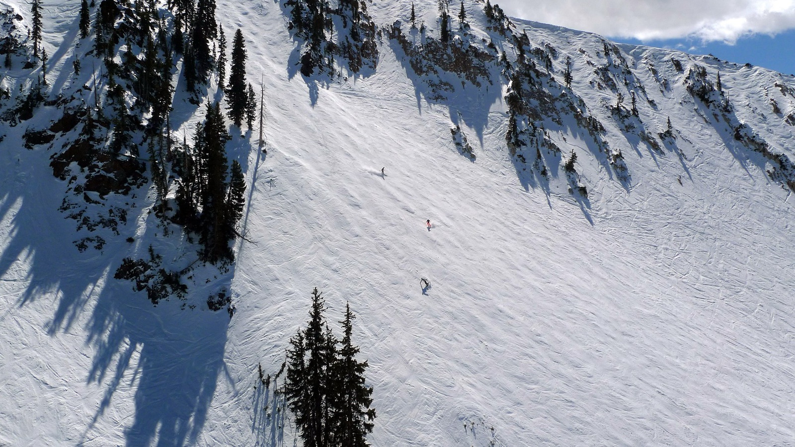
Hero image: “Skiing at Snowbird Utah” by Don Ramey Logan, CC BY 4.0