
Iowa Snow Plow Tracker and Road Conditions
A driver in Iowa can open the 511 map and turn on a plow locations layer to see where the trucks are, a plow cameras layer to see what the drivers see, and an eight step colour legend whose every step Iowa DOT defines in writing.
Where the plows are in Iowa
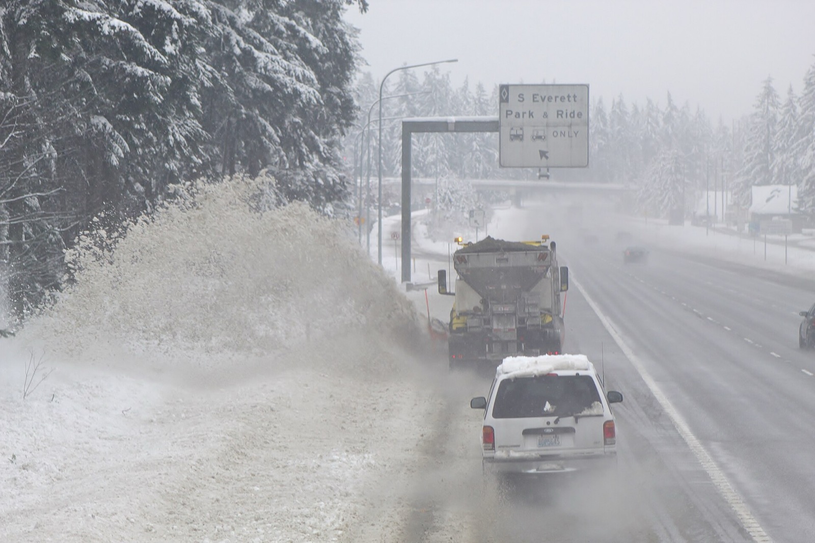
Iowa DOT publishes plow positions on Iowa 511 together with photographs taken from cameras mounted on the trucks.
A reader can see a truck move and then look at what its driver is looking at, which is the closest thing any state publishes to standing at the roadside.
- What the state calls it
- plow locations
- Where it lives
- Iowa 511
- Trucks in the fleet
- 850
- How often it updates
- Iowa DOT states that road condition reports are updated every two hours or as conditions change, and that 511 updates generally are near real time. It publishes no separate refresh interval for plow positions.
- By phone
- 511
Iowa DOT describes it in its own words, from About Winter Road Conditions, Iowa Department of Transportation, read September 23, 2026.
The easiest way to see where we’re plowing in your area is to go to the Iowa 511 site and open the “plow locations” layer. You can also open the “plow cameras” layer to see what our snowfighters are seeing on the roads.About Winter Road Conditions, Iowa Department of Transportation, read September 23, 2026. Read it at the source
What Iowa 511 shows
Iowa 511 carries traffic cameras, a phone app called Iowa 511 and a phone line at 511. Iowa DOT describes it this way: "The Iowa 511 website, app, and phone service provide statewide up-to-date traffic information for interstates, U.S. routes, and state highways in Iowa."
Conditions on any state map are reported rather than measured. A plow operator or a trooper enters what they saw, and the map carries it until somebody enters something else, so a colour is a description of the road a while ago on the stretch the person was looking at.
A driver in Iowa can open the 511 map and turn on a plow locations layer to see where the trucks are, a plow cameras layer to see what the drivers see, and an eight step colour legend whose every step Iowa DOT defines in writing.
- The map
- Iowa 511
- Cameras
- Roadside cameras
- Phone app
- Iowa 511
- Phone line
- 511
The Iowa 511 website, app, and phone service provide statewide up-to-date traffic information for interstates, U.S. routes, and state highways in Iowa.Iowa 511, Iowa Department of Transportation, read September 23, 2026. Read it at the source
What Iowa calls each state of a road
Iowa DOT runs 8 steps on Iowa 511, from Seasonal (green) to Towing Not Recommended (light blue shaded county shape). Iowa DOT publishes a definition beside them.
These are Iowa’s words and they stop at the state line. There is no national scale: the 33 states that publish a legend use 166 different labels between them, and only 17 publish what their own labels mean. A phrase that means one thing here means something else, or nothing, one state over.
| What the map says | What Iowa DOT says it means |
|---|---|
| Seasonal (green) | The roadway is dry or wet, and is generally clear. However, isolated frozen precipitation may exist, including icy bridge decks. |
| Partially Covered (blue) | Frost, ice, sleet/slush, snow or a mixture of precipitation is causing the roadway to be partially covered. Drivers may experience periods when roadway markings are difficult to see. The roadway surface may become slick, snow packed and rutted. Moderate blowing and drifting snow along with occasional drifts may be encountered. |
| Partially covered with ice (blue with white dots) | Ice covers a significant portion of the roadway. Although some pavement remains ice-free, traction may be greatly reduced. Drivers should use caution, slow down, and be prepared for sudden slippery spots. |
| Completely Covered (pink) | The roadway is completely covered with precipitation. Accumulation is to the point that the roadway markings are most likely obscured, making it difficult to differentiate between the roadway and its surroundings. These conditions could make travel difficult or hazardous. |
| Completely Covered with ice (pink with white dots) | Ice covers the entire roadway. Extremely slippery conditions should be expected, with significantly reduced traction. Travel at reduced speeds and consider delaying trips until conditions improve. |
| Travel Not Advised (purple) | The roadway has deteriorated to the point that it is very dangerous to travel. Emergency vehicles and snowplows may be called off of the roadway due to the conditions. In the event of an emergency, it may be impossible to get emergency vehicles to the scene. |
| Impassable or Closed (red with black dots) | A road that is impassable is blocked by snow or disabled vehicles. A road that is closed has travel restricted by barricades, fence, gate, official equipment/vehicles or other physical means. Iowa law prohibits motorists from entering a closed roadway or moving traffic control devices. |
| Towing Not Recommended (light blue shaded county shape) | It has been determined that weather conditions are, or have deteriorated to the point that it is too dangerous to provide towing or roadside services. Tow truck operators should wait until conditions improve before removing stranded vehicles, for everyone's safety. If your vehicle is stalled or stuck we encourage you find a ride to a safe location. |
Read from Iowa DOT’s own legend on September 23, 2026.
Who closes a road in Iowa
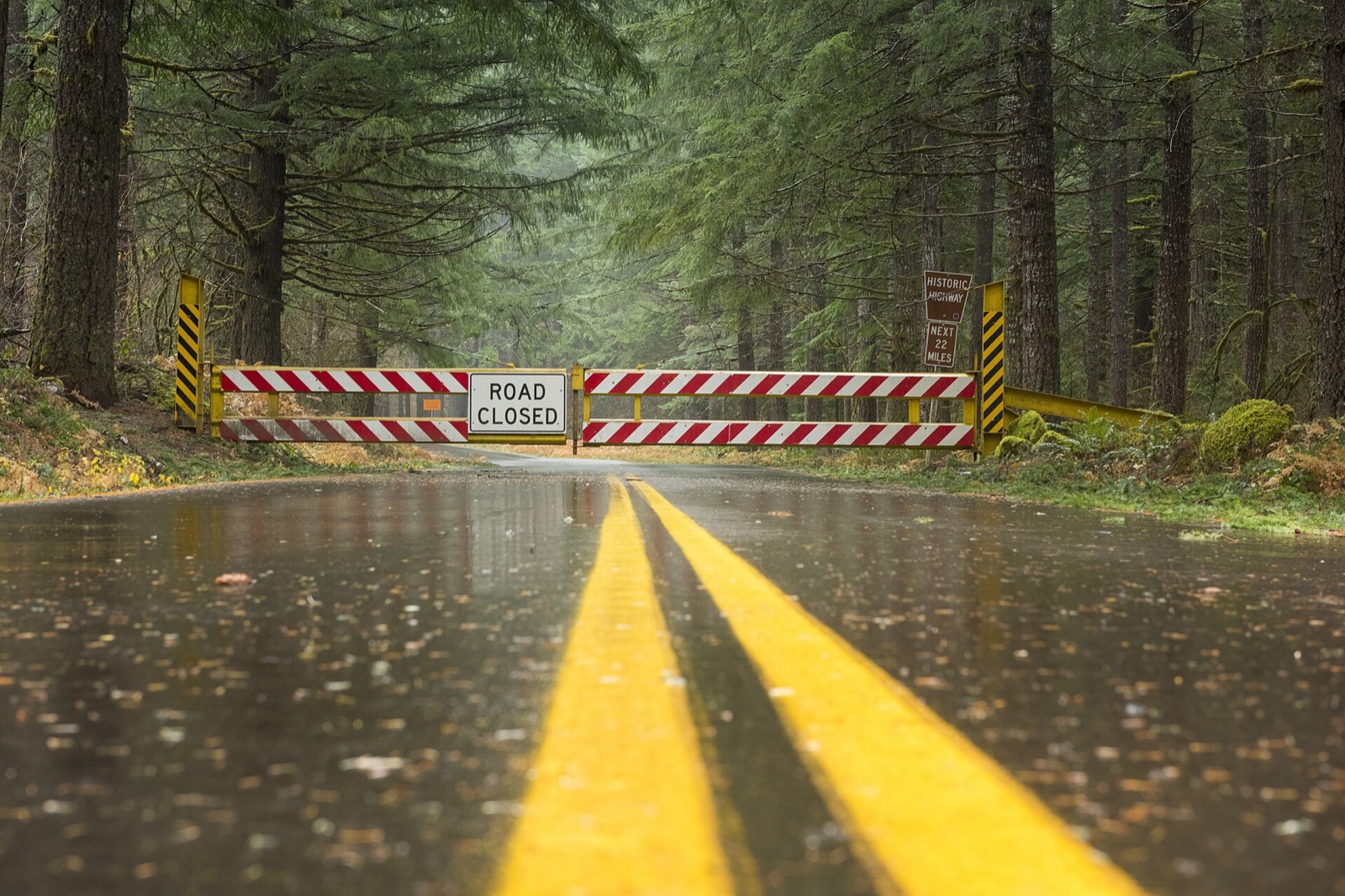
Iowa DOT distinguishes a road that is impassable, meaning blocked by snow or disabled vehicles, from a road that is closed, meaning travel is restricted by a physical barrier, and both share one map colour; entering a closed roadway is prohibited by Iowa law.
A road that is impassable is blocked by snow or disabled vehicles. A road that is closed has travel restricted by barricades, fence, gate, official equipment/vehicles or other physical means. Iowa law prohibits motorists from entering a closed roadway or moving traffic control devices.Iowa 511, Iowa Department of Transportation, read September 23, 2026. Read it at the source
A closure is a different thing from a bad condition, and it is the one entry on the map that carries the force of law behind it. Driving past a closure device is an offence in most states and a rescue bill in several. The map is where the closure is published.
Iowa snow plow tracker questions
Plow trackers in other states
Iowa read September 23, 2026 from Iowa 511, Iowa Department of Transportation, linked above. Departments replace these services between seasons and a layer that ran last winter may not run this one, so Iowa DOT’s own page is the one that governs. Conditions shown on it are reported by people and lag the road. Every state is on the snow plow tracker hub.