
Minnesota Snow Plow Tracker and Road Conditions
A driver in Minnesota gets the statewide 511mn map with traffic cameras, a seven step winter driving legend that runs from Normal to Road Closed, and photos taken from cameras mounted on the plows themselves.
Where the plows are in Minnesota
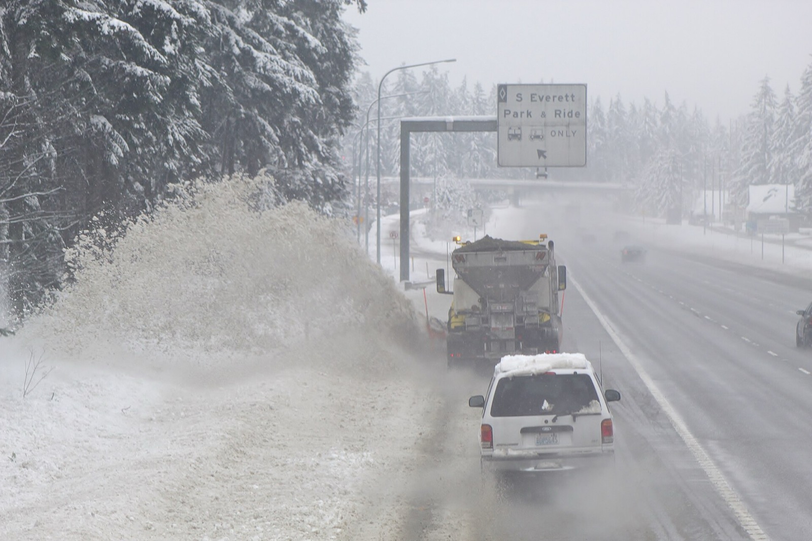
MnDOT publishes plow positions on 511mn together with photographs taken from cameras mounted on the trucks.
A reader can see a truck move and then look at what its driver is looking at, which is the closest thing any state publishes to standing at the roadside.
- What the state calls it
- Plow Cameras
- Where it lives
- 511mn
- By phone
- 511
MnDOT describes it in its own words, from Minnesota 511 Travel Information | MnDOT, Minnesota Department of Transportation, read September 23, 2026.
Plow Cameras show current and historical photos taken by cameras mounted on snow plows.Minnesota 511 Travel Information | MnDOT, Minnesota Department of Transportation, read September 23, 2026. Read it at the source
What 511mn shows
511mn carries traffic cameras, a phone app called Minnesota 511 and a phone line at 511. MnDOT describes it this way: "Real-time statewide map of crashes, closures, construction, winter road conditions, traffic cameras, plow locations, weather alerts, trucker restrictions, and more. Sign up to schedule SMS/email alerts for your frequent routes and areas."
Conditions on any state map are reported rather than measured. A plow operator or a trooper enters what they saw, and the map carries it until somebody enters something else, so a colour is a description of the road a while ago on the stretch the person was looking at.
A driver in Minnesota gets the statewide 511mn map with traffic cameras, a seven step winter driving legend that runs from Normal to Road Closed, and photos taken from cameras mounted on the plows themselves.
- The map
- 511mn
- Cameras
- Roadside cameras
- Phone app
- Minnesota 511
- Phone line
- 511
Real-time statewide map of crashes, closures, construction, winter road conditions, traffic cameras, plow locations, weather alerts, trucker restrictions, and more. Sign up to schedule SMS/email alerts for your frequent routes and areas.Minnesota 511 Travel Information | MnDOT, Minnesota Department of Transportation, read September 23, 2026. Read it at the source
What Minnesota calls each state of a road
MnDOT runs 7 steps on 511mn, from Visibility ≤ 1/2 mil to Road Closed. MnDOT prints the labels without defining them.
These are Minnesota’s words and they stop at the state line. There is no national scale: the 33 states that publish a legend use 166 different labels between them, and only 17 publish what their own labels mean. A phrase that means one thing here means something else, or nothing, one state over.
| What the map says |
|---|
| Visibility ≤ 1/2 mil |
| Visibility ≤ 1/10 mile |
| Normal |
| Partially Covered |
| Completely Covered |
| Travel Not Advised |
| Road Closed |
Read from MnDOT’s own legend on September 23, 2026.
Who closes a road in Minnesota
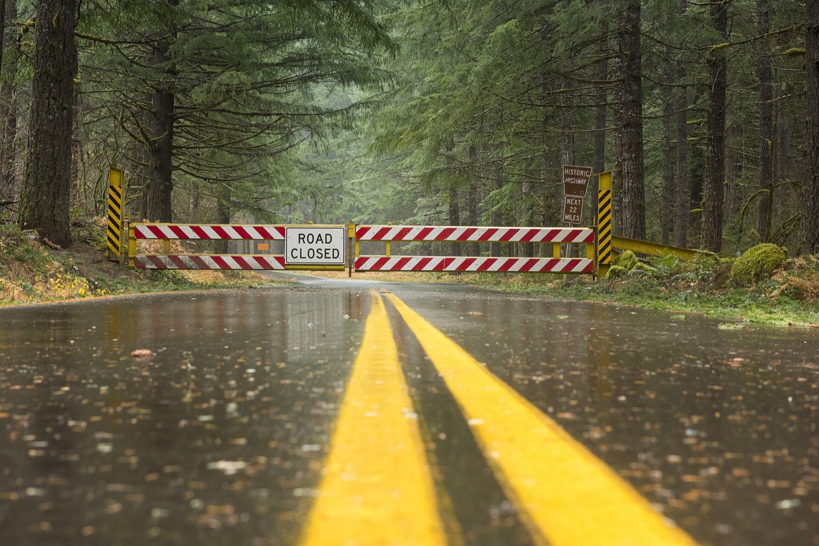
MnDOT staff decide to close a state highway, with input from local law enforcement and the Department of Public Safety, and the closed road is marked on 511mn as Road Closed.
The decision to close a highway is made by MnDOT staff, with input from local law enforcement and the Department of Public Safety.Minnesota 511 Travel Information | MnDOT, Minnesota Department of Transportation, read September 23, 2026. Read it at the source
A closure is a different thing from a bad condition, and it is the one entry on the map that carries the force of law behind it. Driving past a closure device is an offence in most states and a rescue bill in several. The map is where the closure is published.
Minnesota lets the public name its snowplows
6 states run a naming contest, the winning names go on the trucks, and in a state that publishes positions the named trucks then turn up on the map under those names. It is the most reliably delightful thing any transport department does.
Name a Snowplow contest
MnDOT runs the contest by season and publishes the eight winning names, one per district, plus the full finalist list and the winners from previous seasons. The 2025-26 winners include Oh, For Sleet's Sake in District 3 and The Life of a Snowgirl in the Metro District.
The winners are in! Thank you to the more than 18,800 people who voted on our list of finalists.Minnesota 511 Travel Information | MnDOT, Minnesota Department of Transportation, read September 23, 2026. Read it at the source
Minnesota snow plow tracker questions
Plow trackers in other states
Minnesota read September 23, 2026 from Minnesota 511 Travel Information | MnDOT, Minnesota Department of Transportation, linked above. Departments replace these services between seasons and a layer that ran last winter may not run this one, so MnDOT’s own page is the one that governs. Conditions shown on it are reported by people and lag the road. Every state is on the snow plow tracker hub.