
Wyoming Snow Plow Tracker and Road Conditions
Wyoming drivers get a 511 map and a written report for every stretch of highway, backed by the longest published set of condition words in the country, twenty two of them from Dry through Slick in Spots to Extreme Blow Over Risk, but WYDOT does not publish where its plows are.
Where the plows are in Wyoming
WYDOT publishes road conditions on WYDOT 511 Travel Information Map and does not publish the position of its plow trucks.
A reader gets the road as an operator described it, which is a real answer and a different one. Nothing on the map says whether a truck is on the way.
- Where it lives
- WYDOT 511 Travel Information Map
- By phone
- 511 or 1-888-WYO-ROAD (1-888-996-7623)
Wyoming is one of 31 states in that position, and it is a larger group than most readers expect. Publishing a live fleet means publishing where every truck is at every moment, which is a decision about data and about what a department is willing to be measured on rather than a decision about how much snow a state gets.
What WYDOT does publish is the road, which for the question most people are actually asking is often the better answer. A reader who wants to know whether to drive wants the surface, not the truck. Wyoming also carries roadside cameras on the same map, and a camera pointed at the road two miles ahead settles the question faster than any colour does.
What WYDOT 511 Travel Information Map shows
WYDOT 511 Travel Information Map carries traffic cameras, a phone app called Wyoming 511 and a phone line at 511 or 1-888-WYO-ROAD (1-888-996-7623). WYDOT describes it this way: "Wyoming 511 is the official road condition and traffic information reporting app of the Wyoming Department of Transportation (WYDOT)."
Conditions on any state map are reported rather than measured. A plow operator or a trooper enters what they saw, and the map carries it until somebody enters something else, so a colour is a description of the road a while ago on the stretch the person was looking at.
Wyoming drivers get a 511 map and a written report for every stretch of highway, backed by the longest published set of condition words in the country, twenty two of them from Dry through Slick in Spots to Extreme Blow Over Risk, but WYDOT does not publish where its plows are.
- The map
- WYDOT 511 Travel Information Map
- Cameras
- Roadside cameras
- Phone app
- Wyoming 511
- Phone line
- 511 or 1-888-WYO-ROAD (1-888-996-7623)
WYDOT 511 Travel Information Map, Wyoming Department of Transportation
Wyoming 511 is the official road condition and traffic information reporting app of the Wyoming Department of Transportation (WYDOT).WYDOT 511 Service, Wyoming Department of Transportation, read September 23, 2026. Read it at the source
What Wyoming calls each state of a road
WYDOT runs 22 steps on WYDOT 511 Travel Information Map, from Chain Law to Reduced Visibility. WYDOT publishes a definition beside them.
These are Wyoming’s words and they stop at the state line. There is no national scale: the 33 states that publish a legend use 166 different labels between them, and only 17 publish what their own labels mean. A phrase that means one thing here means something else, or nothing, one state over.
| What the map says | What WYDOT says it means |
|---|---|
| Chain Law | Not defined |
| No Unnecessary Travel | The road is open but travel is not recommended due to hazardous driving conditions. |
| Weight-Based Wind Closure | Based on research performed by the University of Wyoming, WYDOT will close a segment of a road when wind thresholds exceed safe operating speeds. |
| Extreme Blow Over Risk | In locations where wind gusts are 60 mph or more and where adequate signage to indicate a closure to light, high profile vehicles is NOT available, WYDOT will issue an Extreme Blow Over Risk warning. |
| Partial Closure | The road is closed to some but not all vehicles or the road is closed in only one direction (for example only northbound traffic is permitted). |
| Local Traffic Permitted | In some cases, a road may be closed to through-traffic but commuters and local residents may be permitted to travel. |
| Rolling Closure | When a town is at capacity, which can happen during a long-duration closure, the closure will be rolled back to the next town to avoid stranding travelers in a location without adequate services. |
| Black Ice | A thin coating or glaze of ice on the road that is particularly dangerous as it may appear to be a film of water or may not be visible/discernible at all. |
| No Trailer Traffic | The No Trailer Traffic restriction is used exclusively on WYO 22 (Teton Pass) and is used at times when snow and ice combine with the terrain to make stopping of trailers difficult or impossible. |
| Falling Rock | The falling rock advisory is used on sections of roadway that pass through rock cut sections. |
| Dry | The road is free of puddles and standing water. |
| Wet | There are puddles and standing water present; spray coming off cars. |
| Slick | Long, continuous sections of icy or snow packed roads. Greater than 50% of road section is icy or snow packed. |
| Slick in Spots | Short, non-continuous sections of icy or snow packed road. Less than 50% of road section is icy or snow packed. |
| Drifted Snow | Drifts of any size that cross the white line and cause a driver to feel a bump or a pull on the steering wheel. |
| Slush | Partially melted ice or snow at least one inch deep and sufficient enough presence in the travel lane as to potentially cause a driver to experience difficulty with directional control of their vehicle. |
| Snow | Snow in excess of an isolated or occasional shower with the potential to stick to the road surface. |
| Rain | In excess of light showers with potential to make the road surface wet. |
| Strong Wind | Wind gusts of 40 mph with ANY road condition. |
| Fog | Fog that may impair visibility. |
| Blowing Snow | Snow propelled by the wind across or along the road surface at least 1 foot above the ground. |
| Reduced Visibility | Visibility less than 400 feet for any reason. |
Read from WYDOT’s own legend on September 23, 2026.
Who closes a road in Wyoming
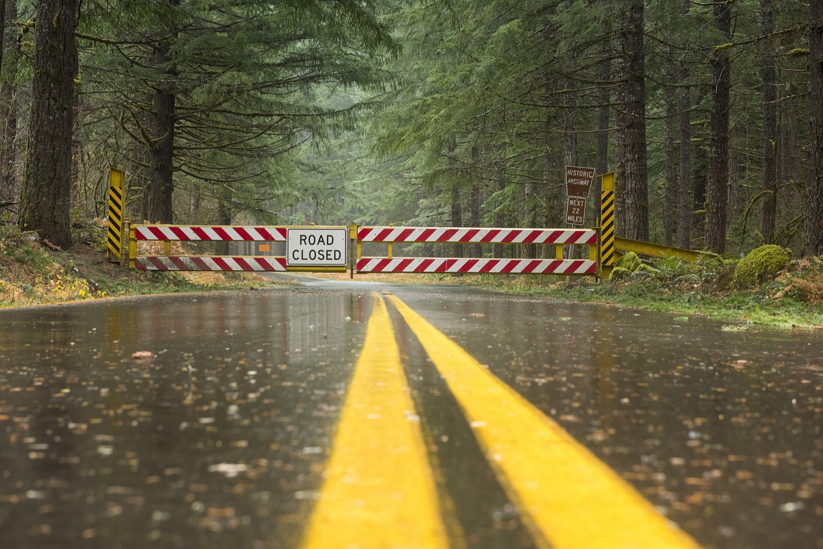
WYDOT closes Wyoming highways itself, and it runs a permit program, the Wyoming Travel Authorization Program, that lets a driver onto a closed section when the state judges it safe; its closure vocabulary runs from Partial Closure and Local Traffic Permitted through Rolling Closure to a full Road Closed.
The Wyoming Travel Authorization Program (W-TAP) permits motorists to drive on sections of closed roads, when authorities judge it is safe to do so.WYDOT 511 Service, Wyoming Department of Transportation, read September 23, 2026. Read it at the source
A closure is a different thing from a bad condition, and it is the one entry on the map that carries the force of law behind it. Driving past a closure device is an offence in most states and a rescue bill in several. The map is where the closure is published.
Wyoming snow plow tracker questions
Plow trackers in other states
Wyoming read September 23, 2026 from WYDOT 511 Service, Wyoming Department of Transportation, linked above. Departments replace these services between seasons and a layer that ran last winter may not run this one, so WYDOT’s own page is the one that governs. Conditions shown on it are reported by people and lag the road. Every state is on the snow plow tracker hub.