
North Dakota Snow Plow Tracker and Road Conditions
A driver in North Dakota can watch most of the state's 352 plows move across the ND Roads map, with pictures from inside the trucks, and read three plain terms for how bad the roads are, from travel alert up to closed.
Where the plows are in North Dakota
NDDOT publishes plow positions on ND Roads together with photographs taken from cameras mounted on the trucks.
A reader can see a truck move and then look at what its driver is looking at, which is the closest thing any state publishes to standing at the roadside.
- What the state calls it
- snowplow tracking
- Where it lives
- ND Roads
- Trucks in the fleet
- 352
- By phone
- 511
NDDOT describes it in its own words, from NDDOT upgrades ND Roads travel map, North Dakota Department of Transportation, read September 23, 2026.
A recent system upgrade inside the truck is adding photo and location data to more plows on the travel map at https://travel.dot.nd.gov.NDDOT upgrades ND Roads travel map, North Dakota Department of Transportation, read September 23, 2026. Read it at the source
What ND Roads shows
ND Roads carries traffic cameras, a phone app called ND Roads app and a phone line at 511. NDDOT describes it this way: "Check out the ND Roads map, which provides information about road conditions, load restrictions, work zones, road & weather cameras, width/height restrictions and weather radar."
Conditions on any state map are reported rather than measured. A plow operator or a trooper enters what they saw, and the map carries it until somebody enters something else, so a colour is a description of the road a while ago on the stretch the person was looking at.
A driver in North Dakota can watch most of the state's 352 plows move across the ND Roads map, with pictures from inside the trucks, and read three plain terms for how bad the roads are, from travel alert up to closed.
- The map
- ND Roads
- Cameras
- Roadside cameras
- Phone app
- ND Roads app
- Phone line
- 511
Check out the ND Roads map, which provides information about road conditions, load restrictions, work zones, road & weather cameras, width/height restrictions and weather radar.North Dakota 511, North Dakota Department of Transportation, read September 23, 2026. Read it at the source
What North Dakota calls each state of a road
NDDOT runs 3 steps on ND Roads, from Travel Alert to Roads Closed or Blocked. NDDOT publishes a definition beside them.
These are North Dakota’s words and they stop at the state line. There is no national scale: the 33 states that publish a legend use 166 different labels between them, and only 17 publish what their own labels mean. A phrase that means one thing here means something else, or nothing, one state over.
| What the map says | What NDDOT says it means |
|---|---|
| Travel Alert | Motorists can still travel but may encounter areas of challenging winter weather driving conditions on roadways. Motorists should allow extra time to reach their destination and be alert to conditions that may make travel difficult, change rapidly, or cause travel delays. A travel alert has the potential to change to a no travel advised if conditions deteriorate. |
| No Travel Advised | Motorists should not travel due to hazardous conditions which may make it unsafe to travel. Snow plows may be pulled from the roads during severe conditions. Motorists should take no travel advised seriously as those motorists who choose to travel at their own risk may become stranded and emergency responders may not be able to reach them safely. A no travel advised has the potential to change to a road closed or blocked if conditions deteriorate. |
| Roads Closed or Blocked | The roadway is not open to traffic to protect public safety. Conditions may be hazardous or the road may be blocked. Motorists are not allowed to travel on a closed road and may be subject to a fine. |
Read from NDDOT’s own legend on September 23, 2026.
Who closes a road in North Dakota
The North Dakota Highway Patrol, not the DOT, closes a state, U.S. or interstate highway, in coordination with NDDOT, and a no travel advised issued by NDDOT covers only those same highways while county officials issue their own for county roads.
When a state, U.S., or interstate highway is blocked or is no longer considered safe for public travel, the North Dakota Highway Patrol may temporarily close the highway for the protection and safety of the public.North Dakota 511, North Dakota Department of Transportation, read September 23, 2026. Read it at the source
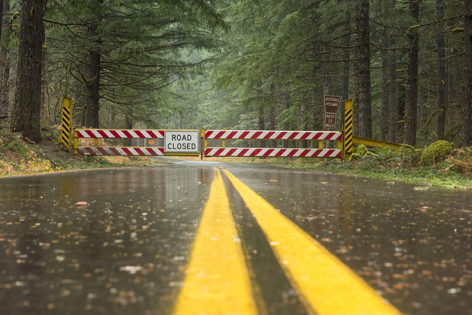
A closure is a different thing from a bad condition, and it is the one entry on the map that carries the force of law behind it. Driving past a closure device is an offence in most states and a rescue bill in several. The map is where the closure is published.
North Dakota lets the public name its snowplows
6 states run a naming contest, the winning names go on the trucks, and in a state that publishes positions the named trucks then turn up on the map under those names. It is the most reliably delightful thing any transport department does.
Name-A-Plow Contest
NDDOT has run the contest five years running and keeps every winning name on the page by year, eight a year, one for each district, among them Beet-L-Juice in Bismarck and Snowbgone Kenobi in Fargo. The person who names a plow gets to meet its operator, and the name is displayed on the truck.
The North Dakota Department of Transportation (NDDOT) has selected the winners of the 2025 Name-A-Plow Contest.North Dakota 511, North Dakota Department of Transportation, read September 23, 2026. Read it at the source
North Dakota snow plow tracker questions
Plow trackers in other states
North Dakota read September 23, 2026 from North Dakota 511, North Dakota Department of Transportation, linked above. Departments replace these services between seasons and a layer that ran last winter may not run this one, so NDDOT’s own page is the one that governs. Conditions shown on it are reported by people and lag the road. Every state is on the snow plow tracker hub.