
Kentucky Snow Plow Tracker and Road Conditions
Kentucky gives drivers GoKY, a statewide traffic and roadway weather map with cameras whose winter layer colours each county by what the crews there are doing, from Standby up to Treating & Plowing, and it does not publish the position of any individual plow truck.
Where the plows are in Kentucky
KYTC publishes road conditions on GoKY and does not publish the position of its plow trucks.
A reader gets the road as an operator described it, which is a real answer and a different one. Nothing on the map says whether a truck is on the way.
- Where it lives
- GoKY
Kentucky is one of 31 states in that position, and it is a larger group than most readers expect. Publishing a live fleet means publishing where every truck is at every moment, which is a decision about data and about what a department is willing to be measured on rather than a decision about how much snow a state gets.
What KYTC does publish is the road, which for the question most people are actually asking is often the better answer. A reader who wants to know whether to drive wants the surface, not the truck. Kentucky also carries roadside cameras on the same map, and a camera pointed at the road two miles ahead settles the question faster than any colour does.
What GoKY shows
GoKY carries traffic cameras. KYTC describes it this way: "For up to date traffic alerts, construction activities and roadway weather conditions, visit: GoKY.ky.gov"
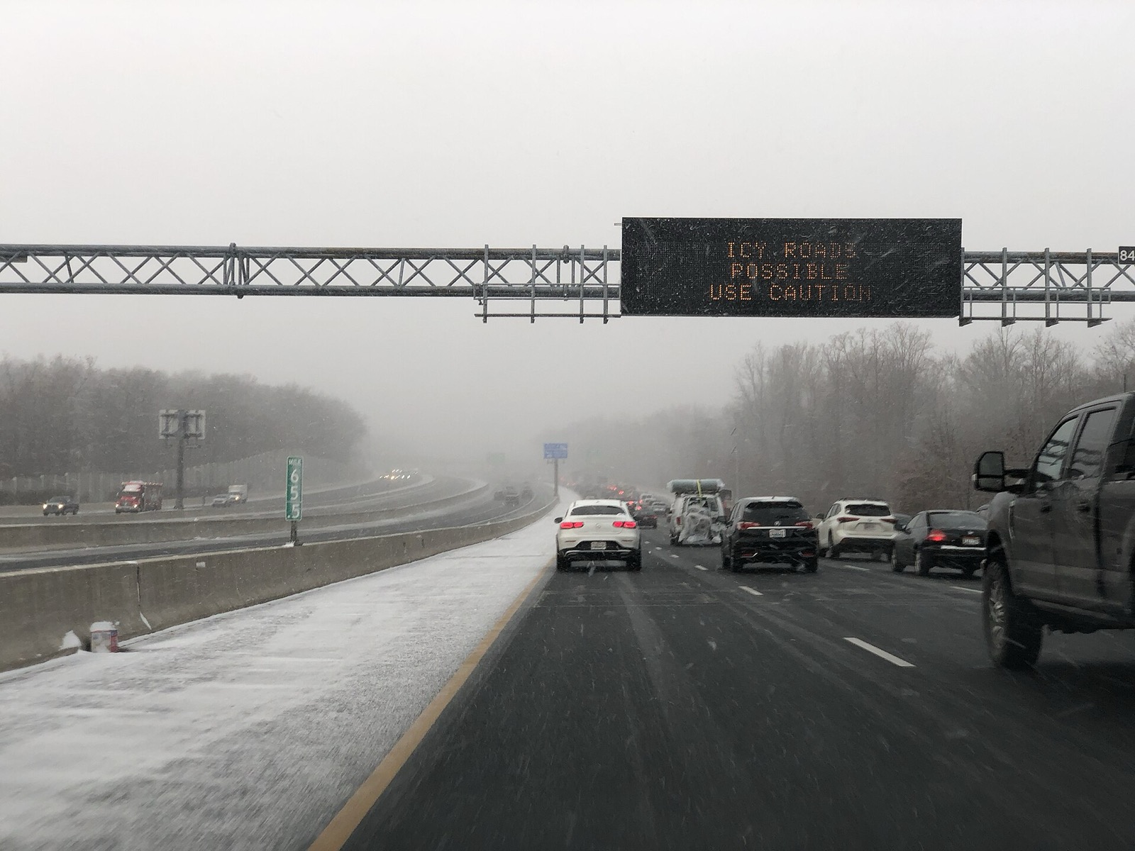
Conditions on any state map are reported rather than measured. A plow operator or a trooper enters what they saw, and the map carries it until somebody enters something else, so a colour is a description of the road a while ago on the stretch the person was looking at.
Kentucky gives drivers GoKY, a statewide traffic and roadway weather map with cameras whose winter layer colours each county by what the crews there are doing, from Standby up to Treating & Plowing, and it does not publish the position of any individual plow truck.
- The map
- GoKY
- Cameras
- Roadside cameras
For up to date traffic alerts, construction activities and roadway weather conditions, visit: GoKY.ky.govhome | GoKY.ky.gov, Kentucky Transportation Cabinet, read September 23, 2026. Read it at the source
What Kentucky calls each state of a road
KYTC runs 6 steps on GoKY, from Standby to Treating & Plowing. KYTC prints the labels without defining them.
These are Kentucky’s words and they stop at the state line. There is no national scale: the 33 states that publish a legend use 166 different labels between them, and only 17 publish what their own labels mean. A phrase that means one thing here means something else, or nothing, one state over.
| What the map says |
|---|
| Standby |
| Patrolling |
| PreTreatment |
| Spot Treatment |
| Treatment |
| Treating & Plowing |
Read from KYTC’s own legend on September 23, 2026.
Who closes a road in Kentucky
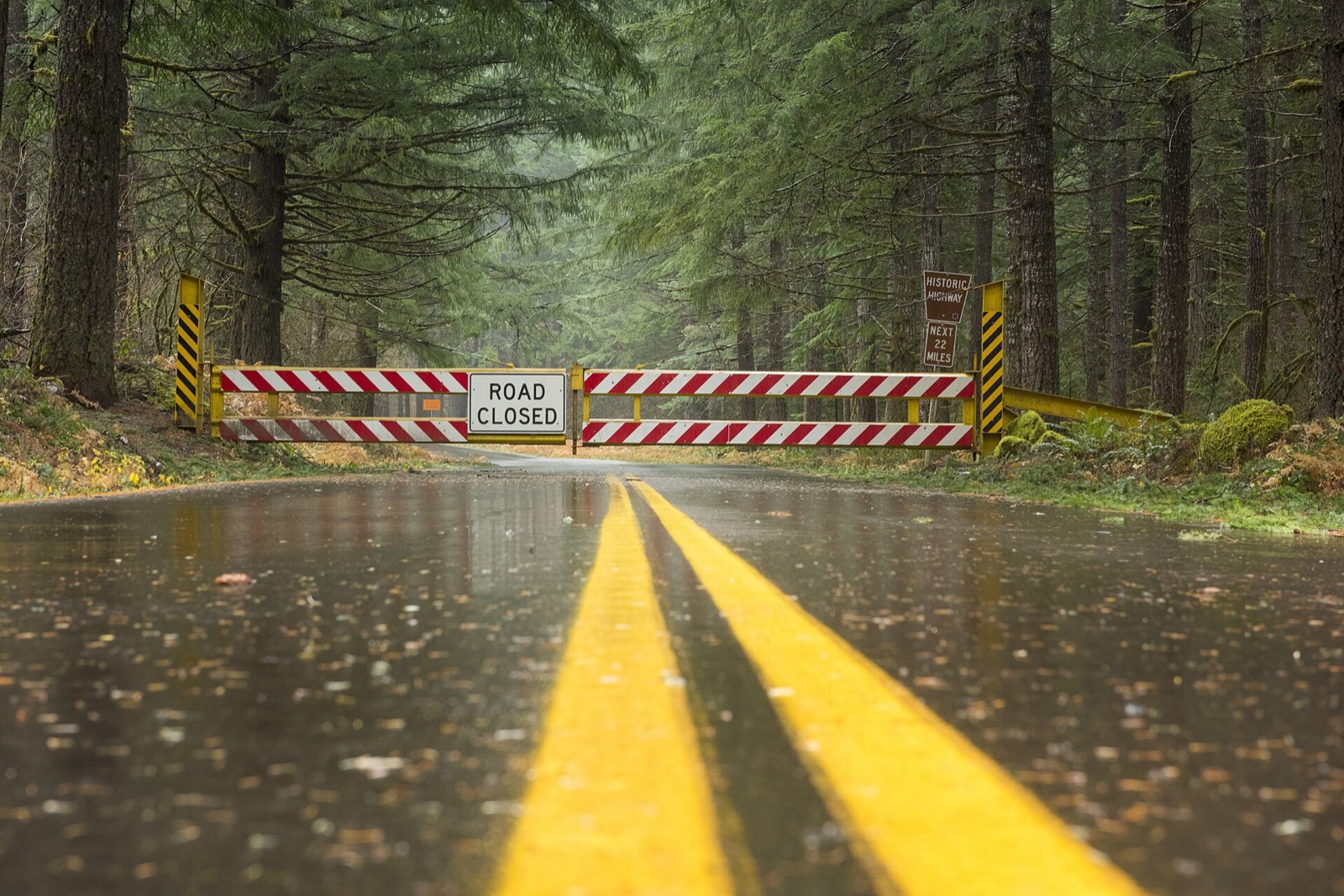
A closure is a different thing from a bad condition, and it is the one entry on the map that carries the force of law behind it. Driving past a closure device is an offence in most states and a rescue bill in several. The map is where the closure is published, and the state also takes reports of conditions from the public.
Kentucky snow plow tracker questions
Plow trackers in other states
Kentucky read September 23, 2026 from home | GoKY.ky.gov, Kentucky Transportation Cabinet, linked above. Departments replace these services between seasons and a layer that ran last winter may not run this one, so KYTC’s own page is the one that governs. Conditions shown on it are reported by people and lag the road. Every state is on the snow plow tracker hub.