
California Snow Plow Tracker and Road Conditions
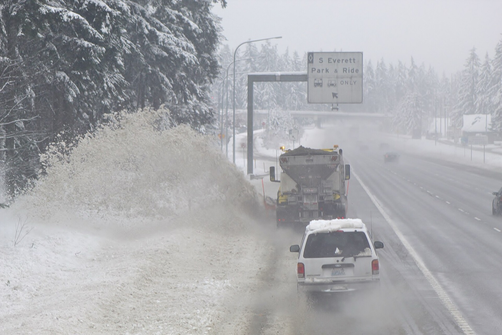
California drivers get QuickMap, which carries a Snow Plows layer showing roughly where Caltrans snow removal equipment is during winter operations, alongside a seventeen code chain control legend that runs from R-0 to a full RC closure.
Where the plows are in California
Caltrans publishes where its plows are on Caltrans QuickMap.
A reader can see which roads have a truck on them right now. Whether one has already been past is a separate question the layer may or may not answer.
- What the state calls it
- Snow Plows
- Where it lives
- Caltrans QuickMap
- How often it updates
- Caltrans publishes an update interval for the Chain Controls layer, which it says is updated every minute and reaches the map within one to five minutes, but states none for the plow markers.
- By phone
- 1-800-427-7623
Caltrans describes it in its own words, from QuickMap FAQs, California Department of Transportation, read September 23, 2026.
Snow plow markers show the approximate real-time location of Caltrans snow removal equipment during winter operations.QuickMap FAQs, California Department of Transportation, read September 23, 2026. Read it at the source
What Caltrans QuickMap shows
Caltrans QuickMap carries traffic cameras and a phone line at 1-800-427-7623. Caltrans describes it this way: "QuickMap displays real-time traffic information layered on a Google Map, including traffic speed, lane and full closures, CHP incidents, Caltrans highway information, changeable message signs, camera snapshots, chain control requirements, and commercial vehicle resources."
Conditions on any state map are reported rather than measured. A plow operator or a trooper enters what they saw, and the map carries it until somebody enters something else, so a colour is a description of the road a while ago on the stretch the person was looking at.
California drivers get QuickMap, which carries a Snow Plows layer showing roughly where Caltrans snow removal equipment is during winter operations, alongside a seventeen code chain control legend that runs from R-0 to a full RC closure.
- The map
- Caltrans QuickMap
- Cameras
- Roadside cameras
- Phone line
- 1-800-427-7623
QuickMap displays real-time traffic information layered on a Google Map, including traffic speed, lane and full closures, CHP incidents, Caltrans highway information, changeable message signs, camera snapshots, chain control requirements, and commercial vehicle resources.QuickMap FAQs, California Department of Transportation, read September 23, 2026. Read it at the source
What California calls each state of a road
Caltrans runs 17 steps on Caltrans QuickMap, from ESC to W. Caltrans publishes a definition beside them.
These are California’s words and they stop at the state line. There is no national scale: the 33 states that publish a legend use 166 different labels between them, and only 17 publish what their own labels mean. A phrase that means one thing here means something else, or nothing, one state over.
| What the map says | What Caltrans says it means |
|---|---|
| ESC | The CHP is escorting all traffic due to weather conditions. |
| HT | All traffic is being held at the chain control check point due to incidents or weather related conditions. |
| MAX | Truck chain requirements are maximum for all trucks. |
| MIN | Truck chain requirements are minimum for all trucks. |
| R-0 | There are no chain restrictions at this time. |
| R-1 | Chains are required on all vehicles except passenger vehicles and light-duty trucks under 6,000 pounds gross weight and equipped with snow tires on at least two drive wheels. Chains must be carried by vehicles using snow tires. All vehicles towing trailers must have chains on one drive axle. Trailers with brakes must have chains on at least one axle. |
| R-1M | Trucks & vehicles pulling trailers use R-1 restrictions. |
| R-2 | Chains or traction devices are required on all vehicles except four wheel/ all wheel drive vehicles with snow-tread tires on all four wheels. (Four wheel/all wheel drive vehicles must carry traction devices in chain control areas.) |
| R-3 | Chains or traction devices are required on all vehicles, no exceptions. |
| RC | Currently the road is closed due to incidents or weather related conditions. |
| TH | All truck trailer combinations are being held at the chain control camper due to incidents or weather related conditions. |
| TS | All trucks must stop at the chain check point; Caltrans is currently screening for chains. Drivers must have maximum chains in their possession in order to proceed. Trucks without chains will be turned around. Permit loads are prohibited over the summit. |
| TTA | All truck trailer combinations are being turned around at the chain control camper due to traction problems over Donner Summit. |
| TTS | All single axle drive trucks pulling a trailer are being turned around at the chain control camper due to traction problems over Donner Summit. |
| TTSD | All single axle drive trucks pulling a set of doubles are being turned around at the chain control camper due to traction problems over Donner Summit. |
| VM | A traffic control is in effect to meter vehicles at the chain check point in order to reduce traffic congestion in the mountain areas. |
| W | No restrictions - watch for snow on pavement. |
Read from Caltrans’s own legend on September 23, 2026.
Who closes a road in California
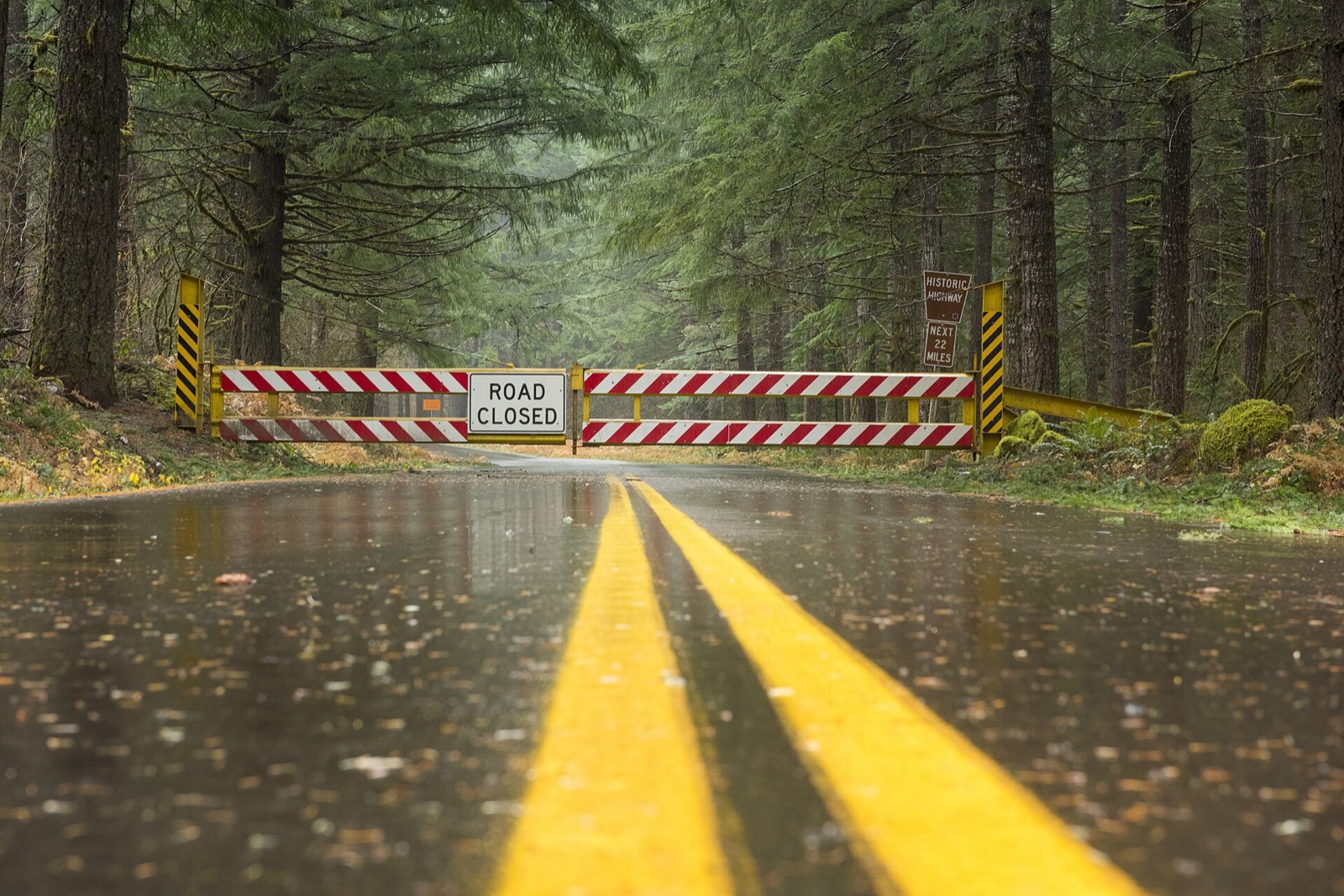
Caltrans closes state highways and draws them on QuickMap as an Active Full Closure, and inside the chain control vocabulary a closed road is RC; the California Highway Patrol reports the incidents and, under ESC, escorts traffic through.
Currently the road is closed due to incidents or weather related conditions.QuickMap FAQs, California Department of Transportation, read September 23, 2026. Read it at the source
A closure is a different thing from a bad condition, and it is the one entry on the map that carries the force of law behind it. Driving past a closure device is an offence in most states and a rescue bill in several. The map is where the closure is published.
California snow plow tracker questions
Plow trackers in other states
California read September 23, 2026 from QuickMap FAQs, California Department of Transportation, linked above. Departments replace these services between seasons and a layer that ran last winter may not run this one, so Caltrans’s own page is the one that governs. Conditions shown on it are reported by people and lag the road. Every state is on the snow plow tracker hub.