
Indiana Snow Plow Tracker and Road Conditions
A driver in Indiana can open the 511IN map and switch on three plow layers, one for where the trucks are, one for the view from their cameras and one for where they have already been, but INDOT publishes no written winter colour legend.
Where the plows are in Indiana
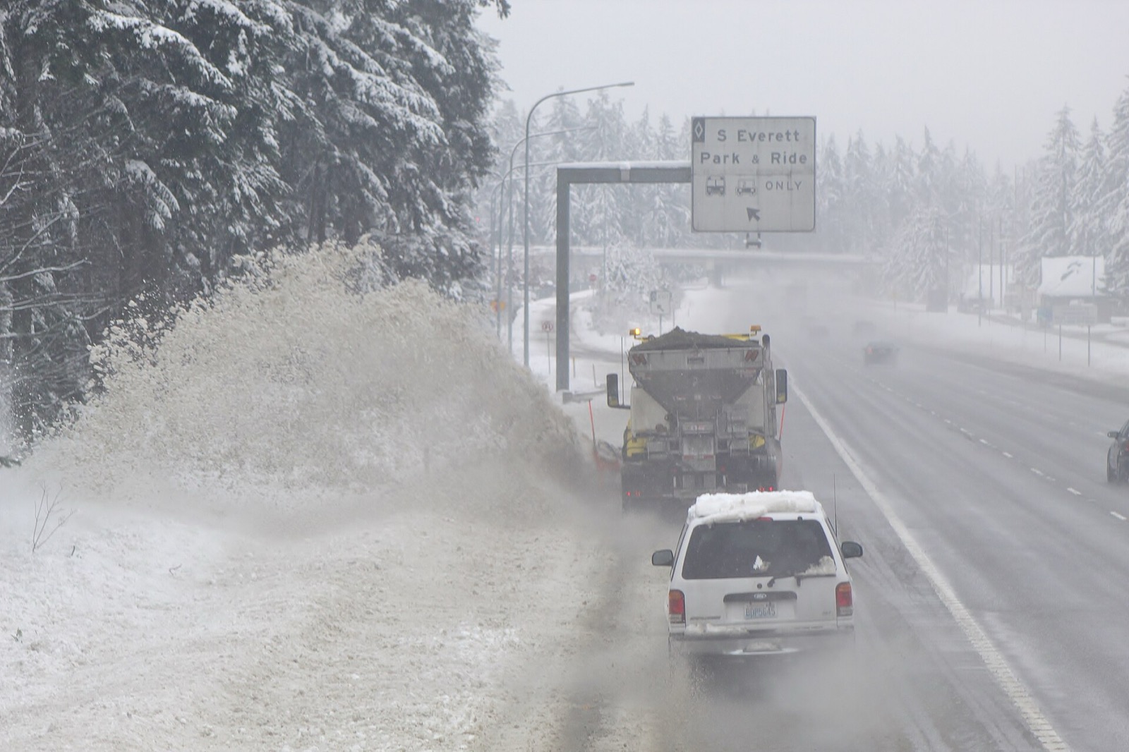
INDOT publishes plow positions on 511IN together with photographs taken from cameras mounted on the trucks.
A reader can see a truck move and then look at what its driver is looking at, which is the closest thing any state publishes to standing at the roadside.
- What the state calls it
- Plow Locations
- Where it lives
- 511IN
- By phone
- 511 or 1-800-261-ROAD (7623)
What 511IN shows
511IN carries traffic cameras, a phone app called TrafficWise and a phone line at 511 or 1-800-261-ROAD (7623). INDOT describes it this way: "511IN.org contains information about road conditions, closures and width/weight restrictions. The interactive map provides information to motorists drive safely and efficiently."
Conditions on any state map are reported rather than measured. A plow operator or a trooper enters what they saw, and the map carries it until somebody enters something else, so a colour is a description of the road a while ago on the stretch the person was looking at.
A driver in Indiana can open the 511IN map and switch on three plow layers, one for where the trucks are, one for the view from their cameras and one for where they have already been, but INDOT publishes no written winter colour legend.
- The map
- 511IN
- Cameras
- Roadside cameras
- Phone app
- TrafficWise
- Phone line
- 511 or 1-800-261-ROAD (7623)
511IN.org contains information about road conditions, closures and width/weight restrictions. The interactive map provides information to motorists drive safely and efficiently.Travel Information, Indiana Department of Transportation, read September 23, 2026. Read it at the source
Who closes a road in Indiana
INDOT publishes closures on its own 511 map, and the separate county travel status map is filled in by the counties themselves and published by the Indiana Department of Homeland Security.
The county status and most recent time it was provided by the county will appear left of the map.Travel Information, Indiana Department of Transportation, read September 23, 2026. Read it at the source
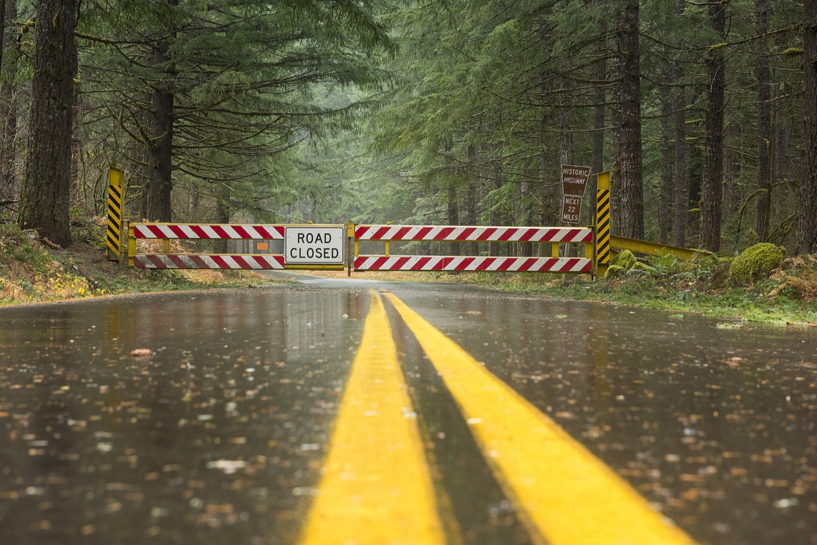
A closure is a different thing from a bad condition, and it is the one entry on the map that carries the force of law behind it. Driving past a closure device is an offence in most states and a rescue bill in several. The map is where the closure is published, and the state also takes reports of conditions from the public.
Indiana snow plow tracker questions
Plow trackers in other states
Indiana read September 23, 2026 from Travel Information, Indiana Department of Transportation, linked above. Departments replace these services between seasons and a layer that ran last winter may not run this one, so INDOT’s own page is the one that governs. Conditions shown on it are reported by people and lag the road. Every state is on the snow plow tracker hub.