
Maine Red Tide Status
What Maine Department of Marine Resources, Public Health Bureau is reporting today, reproduced as issued, and when blooms normally happen on this coast.
Maine bloom season normally runs April 1 to October 31Maine bloom status at a glance
Agency directoryMaine has the best documented harmful algal bloom season of any state on these pages. DMR publishes three separate timing facts on one page: blooms typically April to October, weekly testing March through October, and precautionary closures starting every May. That is exactly the kind of thing that stays true in a year with no bloom at all.
What the agencies are reporting in Maine right now
Every value below is reproduced from the agency that issued it, exactly as that agency wrote it, with the time attached. On a health subject the official category is the answer, and it can change from one sampling site to the next a few miles down the same coast.
Current Maine status is published by Maine Department of Marine Resources, Public Health Bureau on its own site. It and the other agencies listed further down are where to check before you go.
When blooms normally happen in Maine
“Harmful algal blooms in Maine typically occur between April and October, but the species of phytoplankton that causes Amnesic Shellfish Poisoning, Pseudo-nitzschia, has bloomed in recent years during winter months.”Maine Department of Marine Resources, source
DMR gives the usual window as April to October and starts precautionary closures every May as a matter of course, which makes Maine the most predictable Northeast state here. The caveat DMR itself adds matters just as much: Pseudo-nitzschia has bloomed in recent winters, well outside that window.
How often the agency samples
“The State of Maine, Department of Marine Resources Public Health Bureau tests coastal shellfish areas for biotoxins weekly, beginning in March and going through October, or later when necessary.”Maine Department of Marine Resources, source
The sentence Maine Department of Marine Resources, Public Health Bureau most wants you to read
Reproduced verbatim, in the agency’s own words.
“Precautionary regional closures along the coast are implemented annually starting in May when the likelihood of biotoxin blooms increases with the temperature.”Maine Department of Marine Resources, source
Which part of the Maine coast, and what you would notice
What people actually notice
- The calendar first, since DMR starts precautionary regional closures every May regardless of what any particular week looks like
- A winter Pseudo-nitzschia closure, which DMR says has happened in recent years and which falls right outside the April to October window
- The difference between the monthly classification map and the daily closure list, which is the single easiest mistake to make here
- Nothing in the water, because DMR states that toxic shellfish can be found in clear, clean and remote waters
Beaches worth checking the status for
Casco Bay
Cumberland County. The most heavily harvested clam flats in southern Maine, close enough to Portland that a closure affects a lot of people at once.
Muscongus Bay and the Damariscotta River
Lincoln County. Maine’s densest oyster growing area, where biotoxin closures land on aquaculture and recreational harvest together.
Penobscot Bay
Knox and Waldo Counties. A wide midcoast bay whose closure areas are split into several separate stretches that can differ from each other on the same day.
Frenchman Bay and Mount Desert Island
Hancock County. The stretch most visitors reach through Acadia, where the flats look pristine and the DMR closure status still applies.
Cobscook Bay
Washington County. Far Downeast, with some of the largest tides in the country and its own biotoxin closure history.
Maine shellfish harvest closures
Shellfish harvest closures
Harvest closures are legal orders issued by a state health or agriculture department, and they change without warning. The current closure status is published by the agency below. Check it directly, every time, on the day you are going.
DMR draws a distinction worth carrying: the classification map is updated on the first of every month, but closures themselves can change on a daily basis. If you are asking whether a flat is open today, the closure list and the local Marine Patrol office are the answer and the monthly map is not.
Maine Department of Marine Resources, Public Health Bureau · Official closure information
Who to contact in Maine
Health questions, whether a specific beach is open, and anything to do with harvesting are answered by these agencies. Each is linked, with a phone number where one is published.
Maine Department of Marine Resources, Public Health Bureau
Tests the Maine coast for biotoxins, issues every shellfish closure in the state, and publishes both the closure list and the interactive closure map. DMR is the only authority on whether an area is open.
Weekly testing beginning in March and running through October, or later when necessary. Closures can change on a daily basis.
Maine DMR shellfish closure map
The interactive map of current closures and aquaculture leases. DMR warns that the public health water classifications on it are updated on the first of every month while closures themselves can change daily, so the closure list rather than the map is what to read on the day.
What each organism here does
- Alexandrium, what Maine calls red tide. Produces saxitoxins, which agencies associate with paralytic shellfish poisoning.
- Pseudo-nitzschia, a group of marine diatoms. Produces domoic acid, which agencies associate with amnesic shellfish poisoning.
- Dinophysis, the dinoflagellate behind diarrhetic shellfish poisoning. Produces okadaic acid and related toxins, which agencies associate with diarrhetic shellfish poisoning.
Maine red tide FAQ
More for a Maine coast day
Red tide and algal blooms in other states
Season windows are climatological typicals drawn from the agency quotations above, not forecasts. Whether a beach is open and whether shellfish can be harvested are answered by the agencies named above. National picture: red tide and algal bloom status across the country →
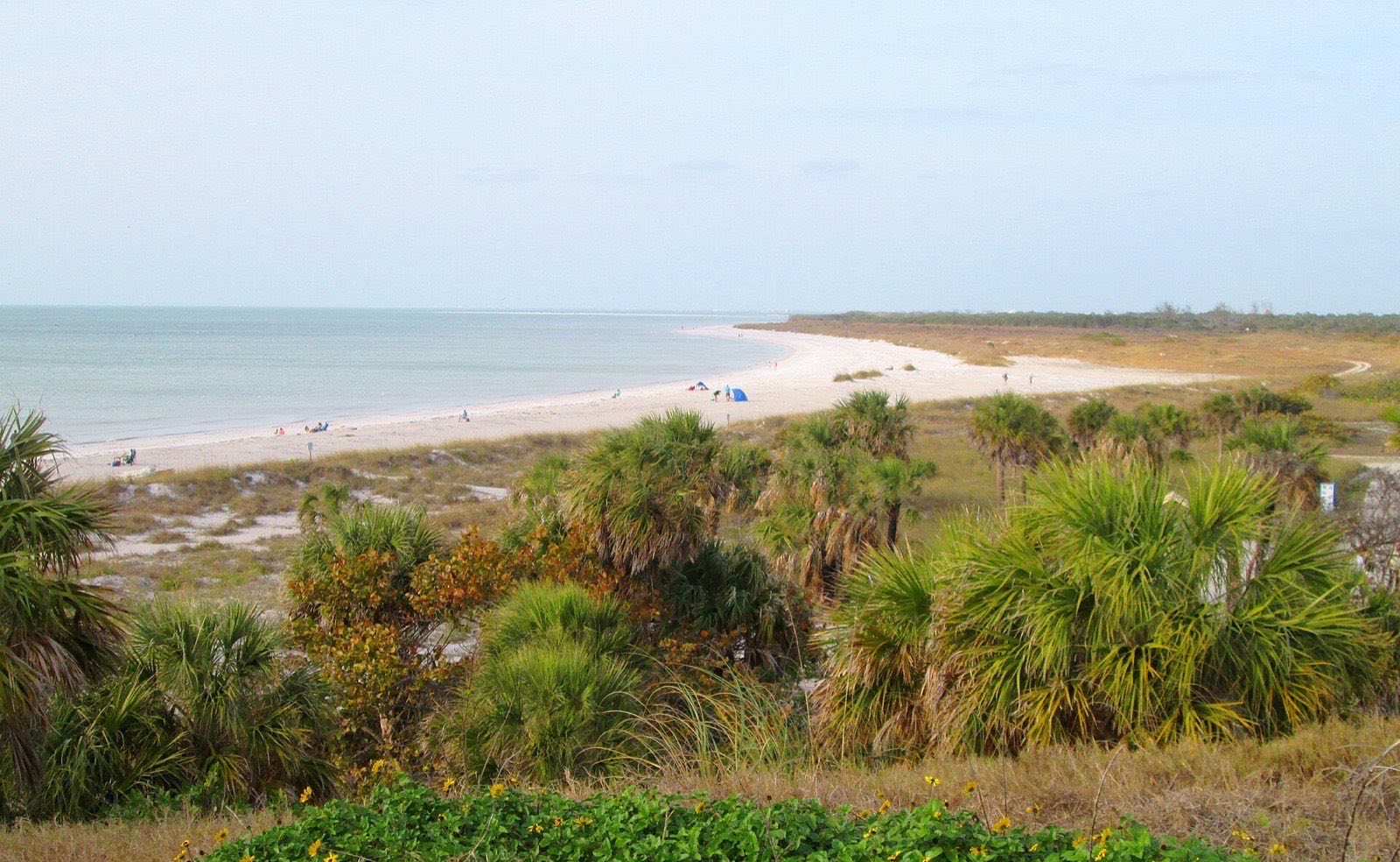
Hero image: “2018 Fort De Soto - South Beach” by Beyond My Ken, CC BY-SA 4.0