
Michigan Algae Bloom Status
What Michigan Department of Environment, Great Lakes, and Energy is reporting today, reproduced as issued, and when blooms normally happen on this coast.
Michigan bloom season normally runs June 1 to October 15Michigan bloom status at a glance
Agency directoryThe most important thing on the Michigan page is EGLE's own guidance on reading its bloom map: not all blooms are reported to it, a bloom can be present in a waterbody and absent from the map, and people should look for and keep away from visible blooms regardless. That guidance is reproduced verbatim below.
What the agencies are reporting in Michigan right now
Every value below is reproduced from the agency that issued it, exactly as that agency wrote it, with the time attached. On a health subject the official category is the answer, and it can change from one sampling site to the next a few miles down the same coast.
Current Michigan status is published by Michigan Department of Environment, Great Lakes, and Energy on its own site. It and the other agencies listed further down are where to check before you go.
When blooms normally happen in Michigan
“Summer is peak season for the formation of harmful algal blooms (HABs) that can present health hazards to people and pets. In Michigan, algal blooms typically occur during periods of warm temperatures, lots of sun, and high nutrient levels.”Michigan Department of Environment, Great Lakes, and Energy, source
EGLE gives summer as the peak season and names warm temperatures, strong sun and high nutrient levels as the drivers rather than a set of dates. Michigan blooms are mostly an inland lake story rather than a Great Lakes one, which is the opposite of what most people arriving on this page expect.
How often the agency samples
“EGLE and the Michigan Department of Health and Human Services (MDHHS) sample for HABs on a limited basis and work with local health departments to protect the public when toxins are discovered; however, some areas affected by HABs may go undetected.”Michigan Department of Environment, Great Lakes, and Energy, source
The event people remember
“Severe blooms were observed in the western basin of Lake Erie in August 2014, and access to drinking water for hundreds of thousands of people was temporarily interrupted due to elevated levels of an algal toxin associated with the bloom.”Michigan Department of Environment, Great Lakes, and Energy, source
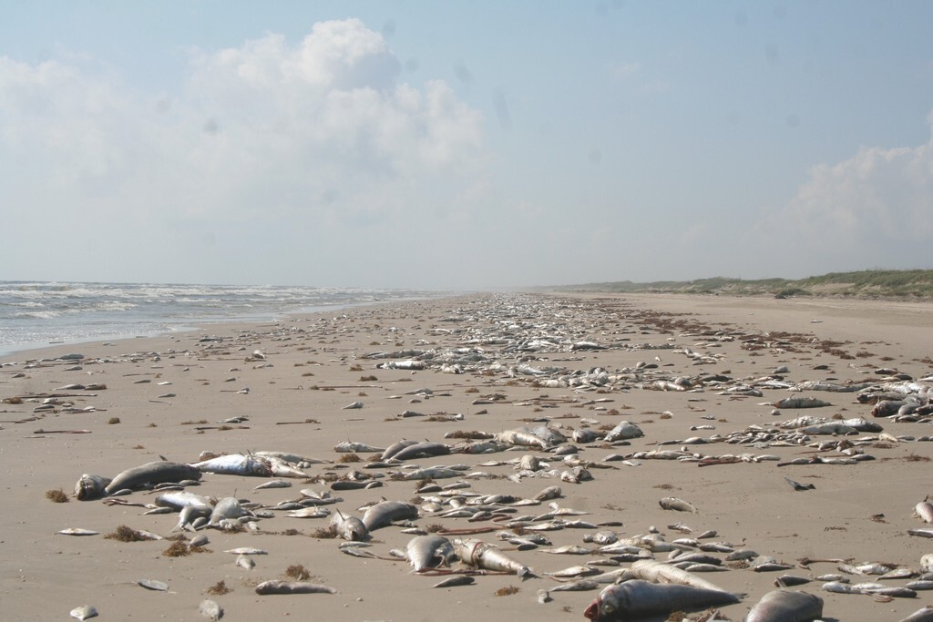
The sentence Michigan Department of Environment, Great Lakes, and Energy most wants you to read
Reproduced verbatim, in the agency’s own words.
“It is not possible to determine whether algal blooms contain harmful toxins by looking at them, so it is best to avoid contact with any body of water that is covered with algal mats or significant rafts of algae on the surface.”Michigan Department of Environment, Great Lakes, and Energy, source
How to read the Michigan bloom map
The agency that publishes the Michigan bloom map also publishes guidance on how to read it: an absence on that map is not a statement that the water is clear.
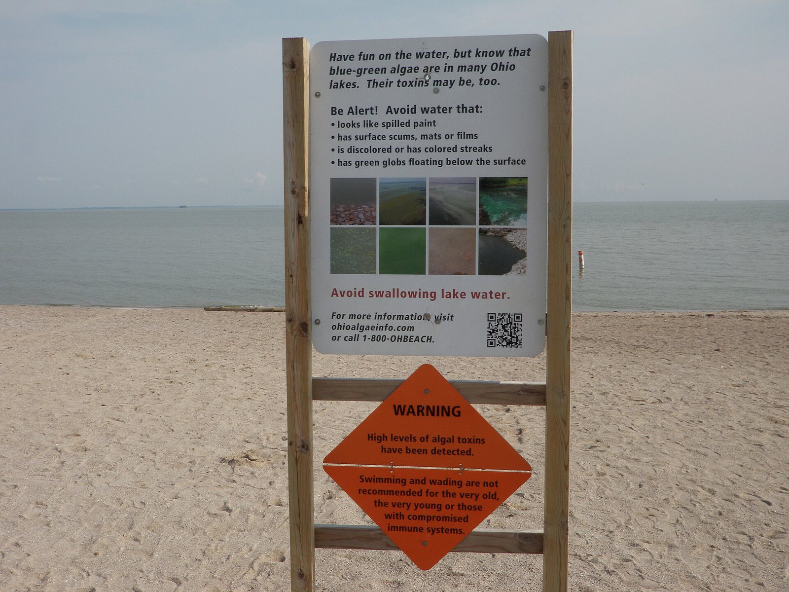
“Note that not all HABs in Michigan are reported to EGLE and so may not be included on the map. HABs can move around, disappear and reappear, meaning that HABs may be present in waterbodies, but not present on the map. Before going in any water, MDHHS recommends that you always look for and keep away from visible HABs or scums and that people and pets stay out of water in affected areas.”Michigan Department of Environment, Great Lakes, and Energy, source
Which part of the Michigan coast, and what you would notice
What people actually notice
- Algal mats or significant rafts of algae on the surface, which is the wording EGLE uses and the threshold it asks people to apply
- A lake that is not on the EGLE map, which EGLE says outright does not mean the lake is clear
- Dogs, which EGLE and MDHHS single out because they drink lake water and groom afterwards
- A bloom that was there yesterday and is not there today, since EGLE notes blooms move around, disappear and reappear
Beaches worth checking the status for
Sterling State Park
Monroe County, Lake Erie. Michigan’s only state park on Lake Erie, sitting inside the western basin where the NOAA bloom forecast applies.
Lake Erie Metropark and Pointe Mouillee
Wayne and Monroe Counties. The Michigan end of the western basin, where the Lake Erie bloom reaches on a southwest wind.
Ford Lake and Belleville Lake
Washtenaw and Wayne Counties. Impoundments on the Huron River that have carried repeated cyanobacteria advisories, and a reminder that Michigan’s bloom story is mostly inland.
Saginaw Bay
Bay and Huron Counties. A large shallow warm bay on Lake Huron with its own nutrient loading and its own bloom history, separate from Lake Erie.
Inland lakes across the Lower Peninsula
statewide. EGLE’s bloom reports are dominated by inland lakes rather than the Great Lakes, which is the opposite of what most people expect.
Michigan beach advisories
Beach advisories
Recreational water advisories are issued locally, and they change without warning. The current advisory status is published by the agency below. Check it directly, every time, on the day you are going.
Michigan has no marine coast and no shellfish biotoxin closure programme. The nearest equivalent is a local health department beach closure, issued locally rather than by the state, which is why EGLE points people to their local health department rather than to a statewide status.
Michigan Department of Environment, Great Lakes, and Energy · Official closure information
Who to contact in Michigan
Health questions, whether a specific beach is open, and anything to do with harvesting are answered by these agencies. Each is linked, with a phone number where one is published.
Michigan Department of Environment, Great Lakes, and Energy
Verifies public bloom reports, runs limited sampling with MDHHS, and publishes the Michigan harmful algal bloom report map. EGLE is explicit that the map is a record of verified reports rather than a survey of the state, which changes how it should be read.
Sampling on a limited basis, driven largely by public reports rather than by a fixed schedule.
EGLE Environmental Assistance Center
Takes public reports of suspicious looking algae by phone, alongside the online reporting form. In a state where monitoring is report driven, calling this number is the mechanism by which a bloom gets on the map at all.
Michigan Department of Health and Human Services
Works with EGLE and local health departments on the public health response when toxins are found, and publishes the guidance on staying out of affected water that EGLE reproduces on its own bloom map.
What each organism here does
- Microcystis, blue-green algae. Produces microcystins, which agencies associate with liver and gastrointestinal effects, skin irritation, and risk to dogs that swim in or drink affected water.
Michigan algae bloom FAQ
More for a Michigan coast day
Red tide and algal blooms in other states
Season windows are climatological typicals drawn from the agency quotations above, not forecasts. Whether a beach is open and whether shellfish can be harvested are answered by the agencies named above. National picture: red tide and algal bloom status across the country →
Hero image: “2018 Fort De Soto - South Beach” by Beyond My Ken, CC BY-SA 4.0