Skip to content

The Colorado Fall Foliage Road Trip: West Elk Loop: Kebler Pass & Crested Butte Aspen Circuit

A 205-mile National Scenic Byway loop through the largest aspen grove in Colorado, gold from valley floor to 10,007-foot pass.

Miles
~205
Days
2–3
Best window
Sep 20 – Oct 5
Stops
8

Why this is THE Colorado drive

2026 edition · researched & verified

The West Elk Loop circles the West Elk Mountains via CO-133, CO-92, US-50, CO-135, and the gravel Kebler Pass Road (Gunnison County Road 12), linking Carbondale, Redstone, Paonia, the Black Canyon's north rim, Gunnison, and Crested Butte. Its centerpiece is Kebler Pass, which climbs to 10,007 feet through what is often called Colorado's — and one of the world's — largest aspen groves, a sea of gold from roughly mid-September to early October. Aspen color here peaks weeks earlier than Midwest foliage, so this is a September trip, not an October one.

September 20 to October 5
Typical peak window
±1–2 weeks in any year
October 2
Typical first frost
pack layers for mornings
Midweek
When to drive it
Colorado peak weekends jam the famous miles
The itinerary

8 stops, in driving order

Carbondale · Carbondale

Ranching-turned-arts town at the foot of 12,965-foot Mount Sopris, where the loop begins on CO-133 up the Crystal River Valley. Cottonwoods along the river turn gold while aspen bands light up Sopris above.

Mount Sopris over the Crystal River
Redstone · Redstone

A tiny historic coal-baron company town on the Crystal River, home to the landmark Redstone Inn and a preserved row of beehive coke ovens beside the highway. The red cliffs behind town glow against the yellow aspen in late September.

Historic coke ovens and red cliffs

McClure Pass · Between Redstone and Paonia

CO-133 switchbacks up to this 8,755-foot paved summit, where pull-offs look back over the Crystal Valley through dense aspen stands. It's one of the most reliable drive-up color shows in the state.

Aspen-lined paved pass

Paonia · Paonia

Descend into the North Fork Valley's orchard and wine country, where harvest season means roadside stands stacked with apples, peaches, and fresh-pressed cider. The town's little main street makes a relaxed lunch stop between passes.

Orchard-country harvest stands

Black Canyon of the Gunnison North Rim & CO-92 · Crawford

From Crawford, the remote north rim road reaches the quiet side of the Black Canyon's 2,000-foot walls. Back on CO-92, the byway clings to the canyon's upper rim toward Blue Mesa — Pioneer Point overlook above Curecanti Creek is the showstopper.

Rim-hugging road over the Black Canyon

Blue Mesa Reservoir / Curecanti National Recreation Area · Sapinero

CO-92 meets US-50 at Colorado's largest body of water, where sage hills and mesas frame miles of blue water en route to Gunnison. Watch for the Dillon Pinnacles as you follow the north shore east.

High-desert water and mesa views

Crested Butte · Crested Butte

A National Historic District mining town of brightly painted false-front buildings along Elk Avenue, reached via CO-135 up the Gunnison and East River valleys. It's the base camp for Kebler Pass and one of Colorado's best fall towns in its own right.

Painted Victorian main street

Kebler Pass Road (County Road 12) · Crested Butte to CO-133

The loop's crescendo: about 30 mostly-gravel miles cresting at 10,007 feet through an enormous interconnected aspen grove — tens of thousands of stems sharing root systems, gold to every horizon at peak. Side trips to Lost Lake Slough and the view of The Dyke's volcanic fin above the aspen are worth the extra time.

Colorado's largest aspen grove

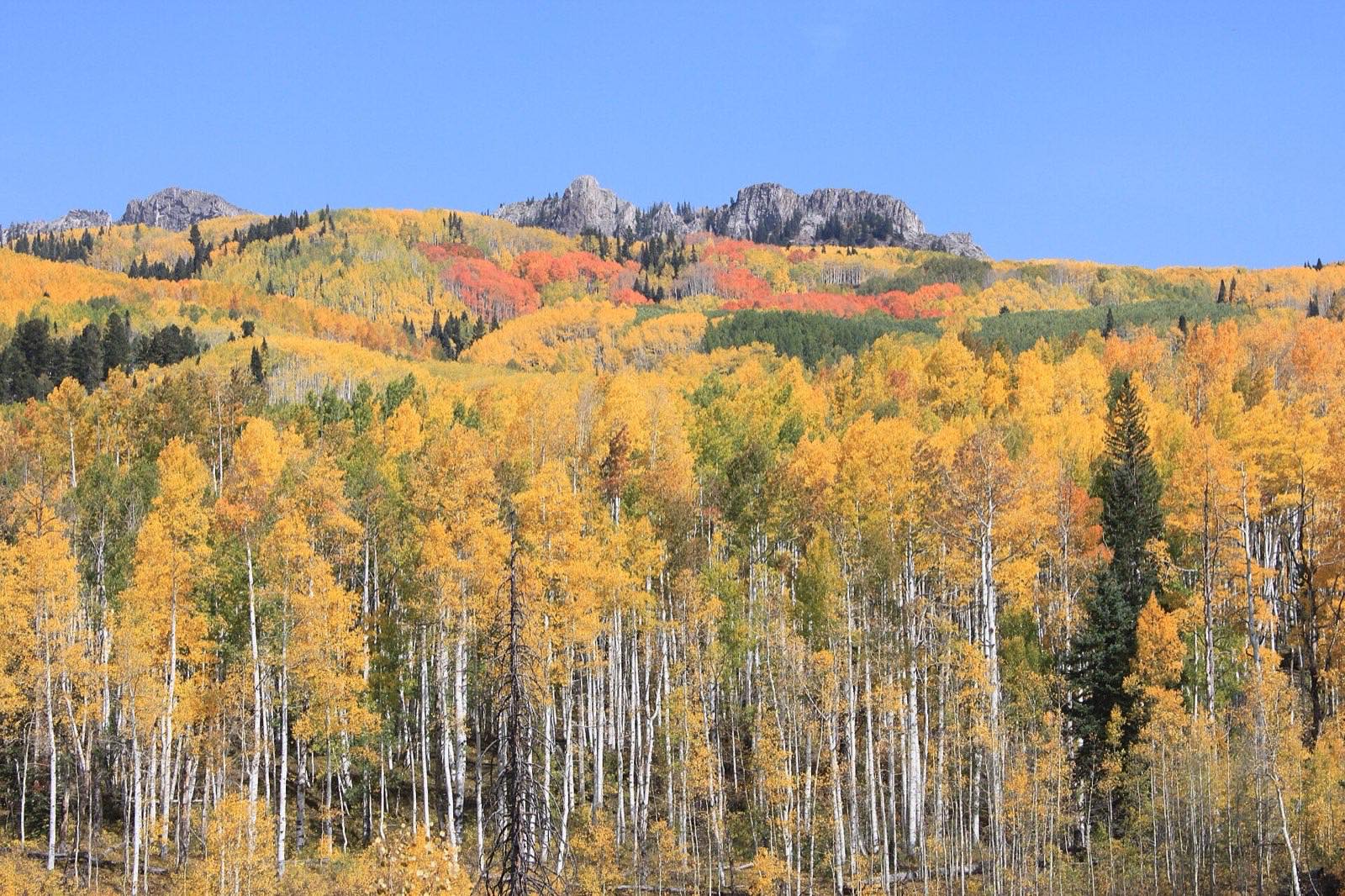
Golden aspen sweeping up to the Ruby Range near Kebler Pass
The scale that photographs can’t hold: entire mountainsides of clonal aspen turning in unison along the West Elk Loop.
Advertisement
Bring the good camera

The photo spots worth planning around

The Dyke viewpoint on Kebler Pass Road

Lost Lake Slough

(Forest Road 706 off Kebler Pass Road), with East Beckwith Mountain reflected

McClure Pass summit pull-offs on CO-133

Pioneer Point overlook on CO-92 above the Black Canyon

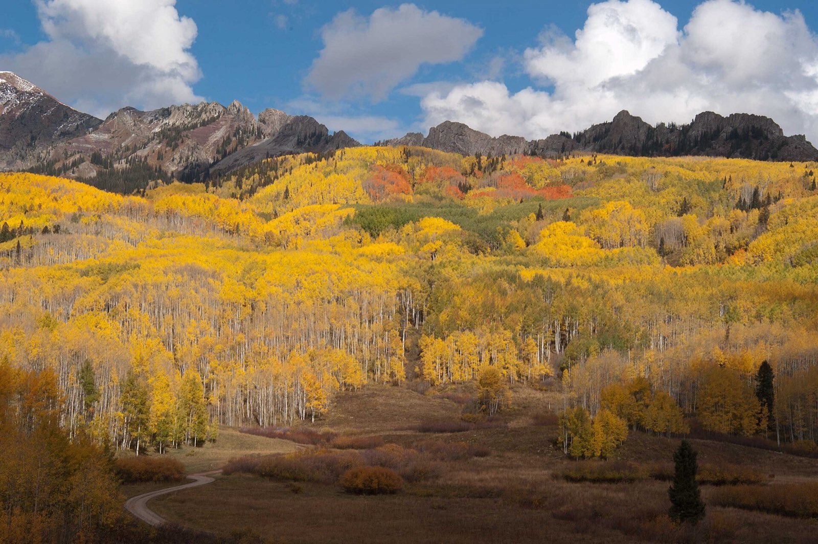
Aspen groves in full gold below the ridgeline at Kebler Pass
Kebler Pass in late September: one of the largest living organisms on Earth, and it all turns gold at once.

Golden hour rules apply double in foliage season: shoot the big overlooks in the first and last hour of light, and save overcast middays for waterfalls and forest interiors — flat light saturates reds that harsh sun washes out.

Base camps & fuel

Where to stay and where to eat

Overnight bases

Crested Butte

The classic base for Kebler Pass — walkable historic downtown, best restaurant scene on the loop, and sunrise access to the aspen at peak.

Paonia

Quiet orchard-and-vineyard valley stay that splits the loop neatly between McClure Pass and the Black Canyon leg.

Carbondale (or Redstone)

Comfortable start/end point in the Crystal River Valley, with the historic Redstone Inn as a characterful alternative.

The institutions

The Secret Stash · Crested Butte

Elk Avenue pizzeria that's been voted the town's best pizza every year since opening in 2002 — earned a cult following far beyond the valley.

Camp 4 Coffee · Crested Butte

The town's beloved shingle-covered coffee shack — grab a pre-dawn cup before driving Kebler for first light on the aspen.

Big B's Delicious Orchards · Hotchkiss

North Fork Valley institution on CO-133 — orchards, farm market, and fresh-pressed apple cider at the height of harvest season.

Hard-won advice

Trip tips for 2026

  • Kebler Pass Road is mostly graded gravel; when dry it's fine for regular passenger cars, but wash-boarding is common and rain makes it slick — check Gunnison County road status and allow about 2 hours for the 30 miles.
  • Kebler Pass closes with snow (roughly November through late May) and an early storm can shut it in peak color season — have the paved CO-133/US-50 legs as your fallback.
  • Aspen peak on this loop is mid-September to early October — several weeks earlier than Midwest foliage; Crested Butte lodging books out for those weekends months ahead.
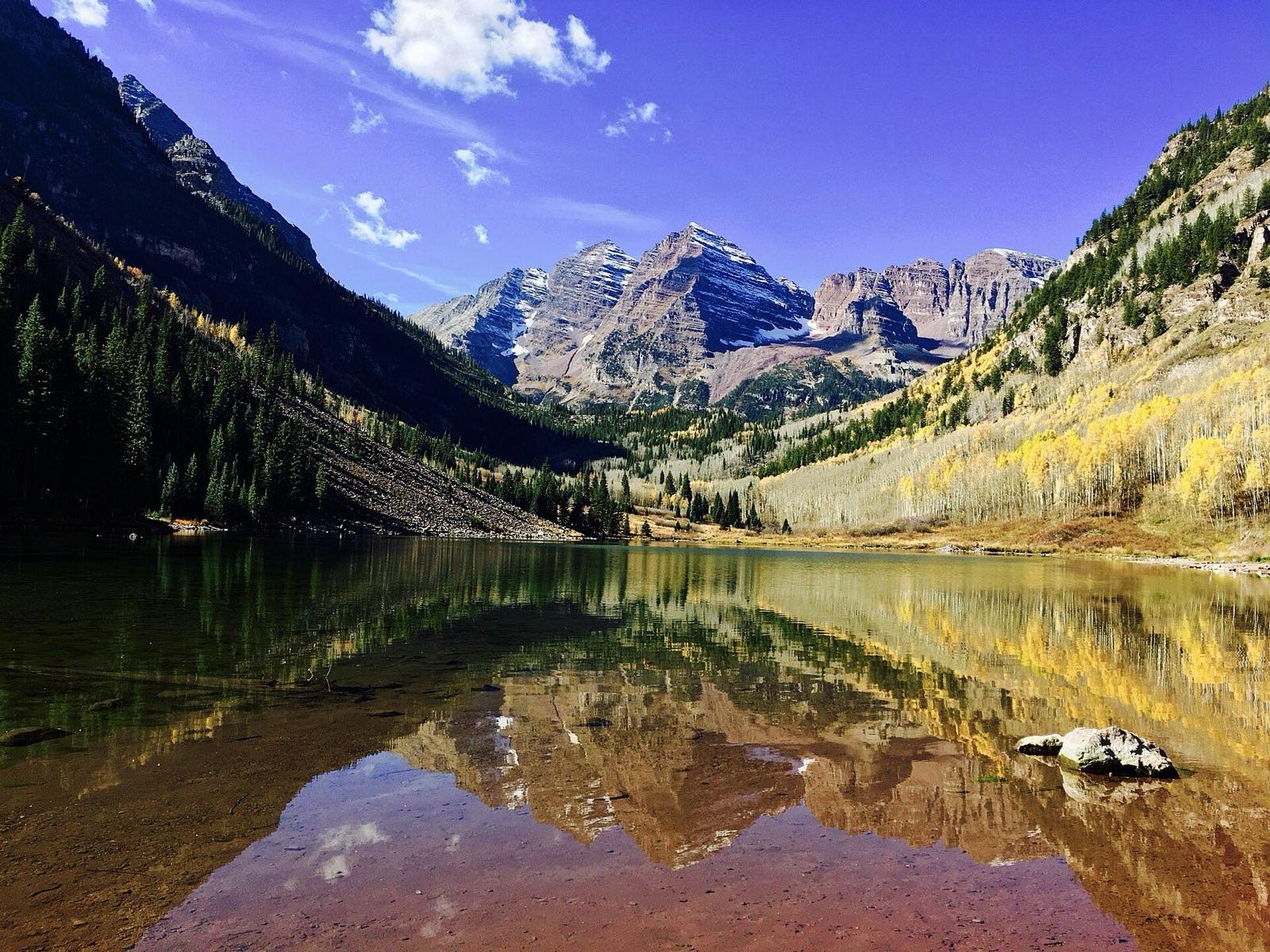
  • Fuel and cell service are thin between Carbondale, Paonia, and Crested Butte — fill up in town, and if you side-trip to the Maroon Bells from the Carbondale end, parking or shuttle reservations are required (book at visitmaroonbells.com).
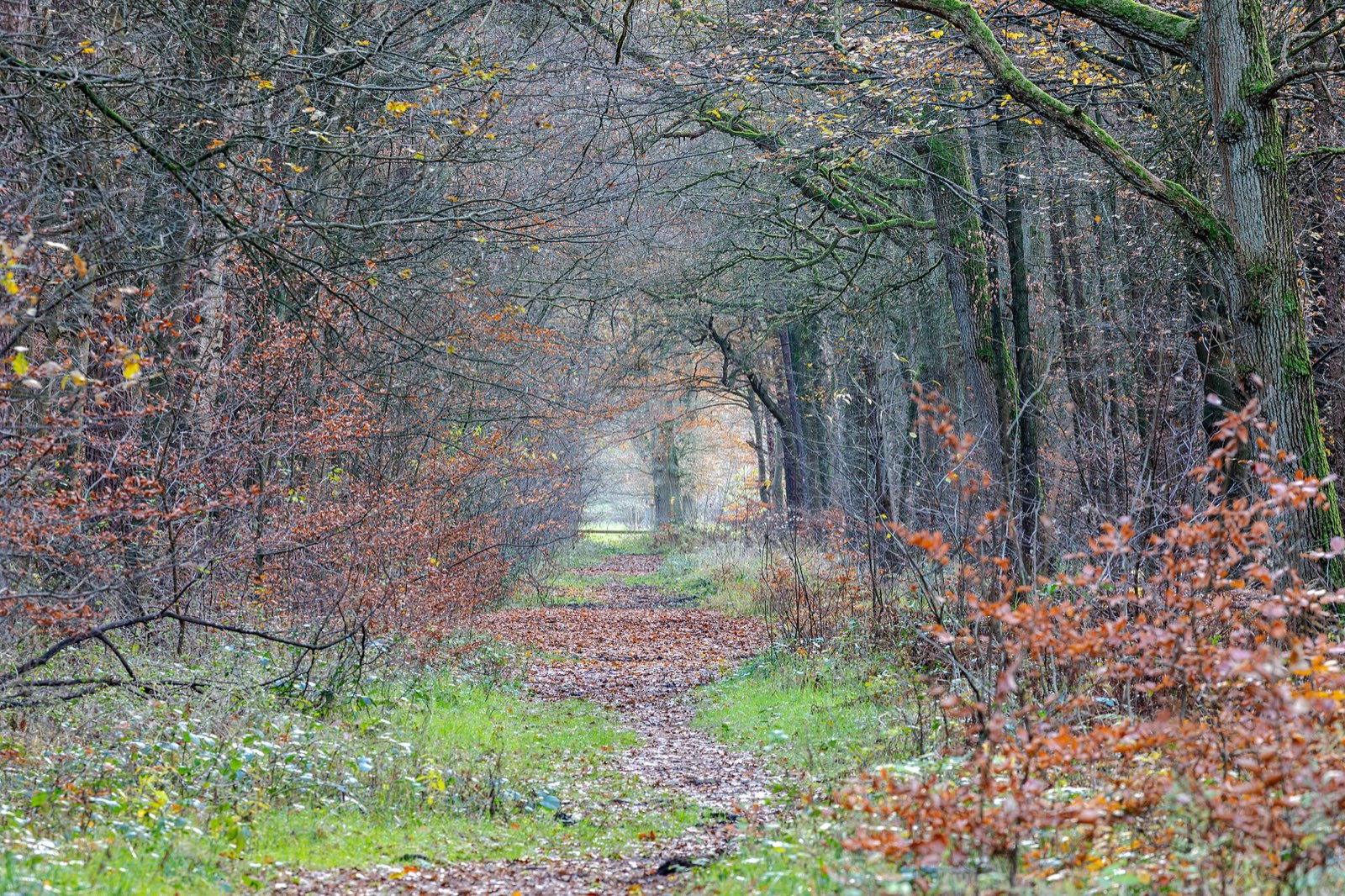
Quiet woodland path carpeted with late-autumn leaves
Build one walk into every driving day — the best color moments on this route happen at 2 mph, not 45.

Plan B: Million Dollar Highway (US 550, Ouray–Silverton–Durango)

The San Juan Skyway's most famous stretch: 70+ paved miles over Red Mountain, Molas, and Coal Bank passes with cliff-edge switchbacks and no guardrails in places — equally iconic aspen color, no gravel required.

Interactive

Check color along the route

Estimated color status across the region right now — enter any ZIP along the drive to see how the higher stretches compare with the valleys.

Style
Area
Size

Estimated color status around Denver, CO, computed from the state’s typical peak window adjusted for each area’s elevation and latitude (higher and more northern terrain turns earlier). Try the Terrain style to see why ridgelines turn first. A climatology-based estimate — scout reports and webcams beat any model in the final week.

Common questions

Colorado foliage road trip FAQ

Keep planning

Round out the trip

More foliage road trips

Advertisement

Itinerary researched and verified August 2026 (routes, fees, seasonal closures, and long-established stops). Conditions change — confirm park roads and seasonal businesses in the final week before you go. Timing windows come from the Colorado foliage forecast.