Skip to content

The Virginia Fall Foliage Road Trip: Skyline Drive End-to-End: Front Royal to Rockfish Gap

One ridge, 105 miles, and roughly 70 overlooks of wall-to-wall Blue Ridge color.

Miles
~105
Days
2–3
Best window
Oct 15 – Nov 1
Stops
8

Why this is THE Virginia drive

2026 edition · researched & verified

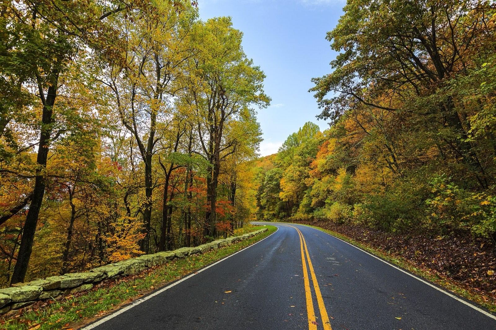
Skyline Drive runs the full crest of Shenandoah National Park, from the Front Royal entrance in the north to Rockfish Gap in the south, at a leisurely 35 mph the whole way. In October the color starts near Big Meadows at the higher elevations and rolls down into the Shenandoah Valley over several weeks, so almost any weekend from early to late October delivers somewhere at peak. Split it into a north-day and south-day using the park's four entrance stations, with a night at Skyland or Big Meadows in the middle.

October 15 to November 1
Typical peak window
±1–2 weeks in any year
October 25
Typical first frost
pack layers for mornings
Midweek
When to drive it
Virginia peak weekends jam the famous miles
The itinerary

8 stops, in driving order

Front Royal (North) Entrance Station · Front Royal

Enter at Mile 0 and start the slow climb onto the ridge. Grab your pass electronically here — the park went fully cashless in July 2025 — and set the trip odometer, since everything on Skyline Drive is navigated by milepost.

Mile 0 of the whole drive
Range View Overlook · Front Royal

At Mile 17.1, this is the classic first big payoff: a view straight down the spine of the Blue Ridge toward Stony Man Mountain, with Massanutten Mountain and the Alleghenies layered beyond. In fall the ridgelines stack up in bands of red, orange, and blue haze.

View down the length of the Blue Ridge

Hogback Overlook · Front Royal

The longest overlook in the park, around Mile 20.8–21.1, looking down on the bends of the Shenandoah River and both ridges of Massanutten. It's one of the most photographed spots on the drive, especially late in the day.

Shenandoah River bends at sunset

Thornton Gap Entrance & Mary's Rock Tunnel · Luray

US 211 crosses the drive at Mile 31.5, making this the natural bail-out or lunch run down to Luray. Just south, the drive punches through Mary's Rock Tunnel at Mile 32.2 — the only tunnel on Skyline Drive, blasted through the granite in 1932.

Skyline Drive's only tunnel

Stony Man Overlook & Skyland · Luray

Stony Man Overlook at Mile 38.6 faces the cliffs of one of the park's highest peaks over the Shenandoah Valley. A few minutes south, Skyland (Mile 41.7) sits at the highest point on the drive at 3,680 feet — the short Stony Man summit trail from here is the best effort-to-view ratio in the park.

Highest point on Skyline Drive

Big Meadows · Stanley

The hub of the park at Mile 51: the Byrd Visitor Center, Big Meadows Lodge, and the great open meadow itself, ringed in color and busy with deer at dusk. This is where fall color arrives first, and the wayside's blackberry milkshake is a bona fide park tradition.

First color of the season + blackberry milkshakes

Swift Run Gap Entrance · Elkton

US 33 crosses at Mile 65.5, marking the start of the quieter South District. Traffic thins noticeably from here, and overlooks like Bacon Hollow and Moormans River gain long views with a fraction of the crowds.

Gateway to the uncrowded South District

Rockfish Gap (South) Entrance · Waynesboro

The drive ends at Mile 105 where I-64 and US 250 cross the ridge above Waynesboro. This is also Milepost 0 of the Blue Ridge Parkway, so ambitious leaf-peepers can roll straight onto another 469 miles of ridge road.

Where Skyline Drive hands off to the Blue Ridge Parkway

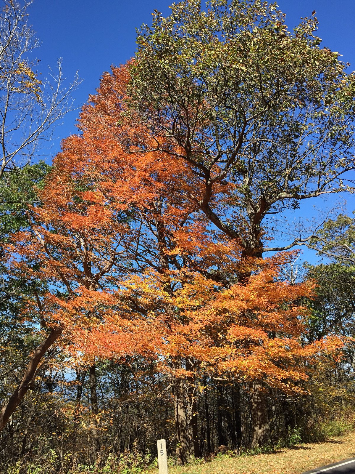
Sugar maple in full orange at a Skyline Drive overlook
A single roadside maple at full burn — Skyline Drive’s 75 overlooks each frame one like it in mid-October.
Advertisement
Bring the good camera

The photo spots worth planning around

Hogback Overlook

(Mile 20.8)

Mary's Rock Tunnel south portal

(Mile 32.2)

Stony Man summit via Skyland

(Mile 41.7)

Big Meadows at dusk

(Mile 51)

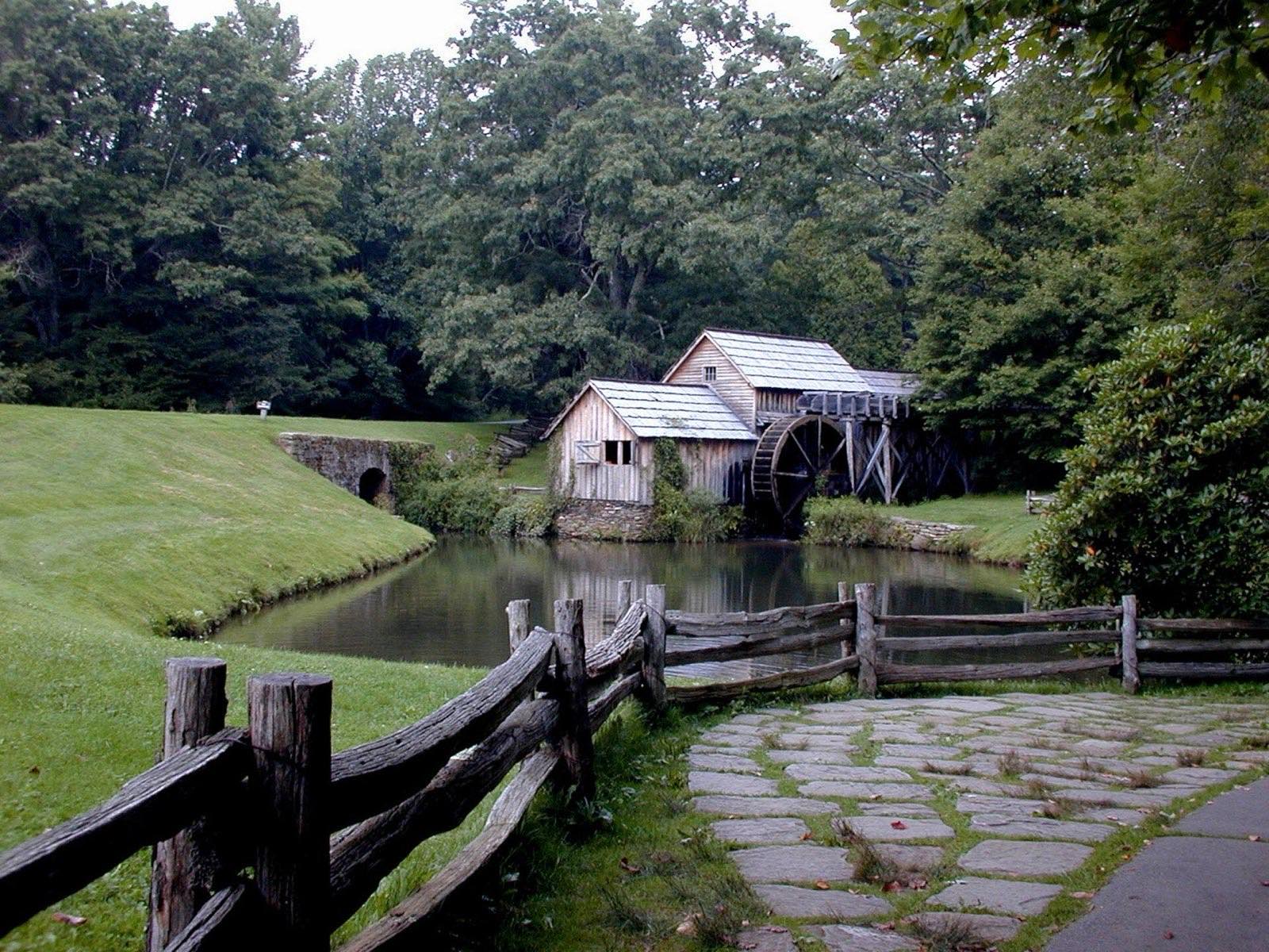
Mabry Mill on the Blue Ridge Parkway
Mabry Mill, milepost 176 — the most photographed spot on the entire Parkway. Go at first light before the pull-off fills.

Golden hour rules apply double in foliage season: shoot the big overlooks in the first and last hour of light, and save overcast middays for waterfalls and forest interiors — flat light saturates reds that harsh sun washes out.

Base camps & fuel

Where to stay and where to eat

Overnight bases

Front Royal

The northern gateway — stage here the night before so you're through the entrance station at opening and ahead of the weekend overlook crowds.

Luray

Sits below the park's midpoint via Thornton Gap, with Luray Caverns as a rain-day backup and easy re-entry at Mile 31.5.

Waynesboro

The southern terminus town at Rockfish Gap — practical, affordable, and perfectly placed if you're continuing onto the Blue Ridge Parkway.

The institutions

Southern Kitchen · New Market

Family-run neon-sign diner on US 11 since 1955 — fried chicken, peanut soup, and an original soda fountain, a short hop down from Thornton Gap or New Market Gap.

Big Meadows Wayside · Shenandoah National Park (Mile 51)

The in-park classic; the blackberry milkshake and blackberry ice cream pie are famous enough that Appalachian Trail thru-hikers plan around them.

Skyland Resort Dining Room · Shenandoah National Park (Mile 41.7)

Dinner with a west-facing Shenandoah Valley view from the highest point on the drive — time it for sunset.

Hard-won advice

Trip tips for 2026

  • Entrance fee is $30 per vehicle, good for 7 consecutive days — and the park is fully cashless as of July 2025, so pay by card/mobile or buy your pass online at recreation.gov before you arrive.
  • Peak color is typically mid-to-late October; October weekends are the park's busiest days of the year, so enter at Front Royal or Rockfish Gap before 9 a.m. or use the quieter Swift Run Gap and Thornton Gap entrances.
  • The speed limit is 35 mph and the full 105 miles takes about 3 hours with zero stops — realistically budget a full day per district and use the four entrance stations (Front Royal, Thornton Gap, Swift Run Gap, Rockfish Gap) to break the drive up.
  • Deer are everywhere at dawn and dusk, and fog can sit on the ridge while the valley is clear — check the park's website for temporary Skyline Drive weather closures before heading up.
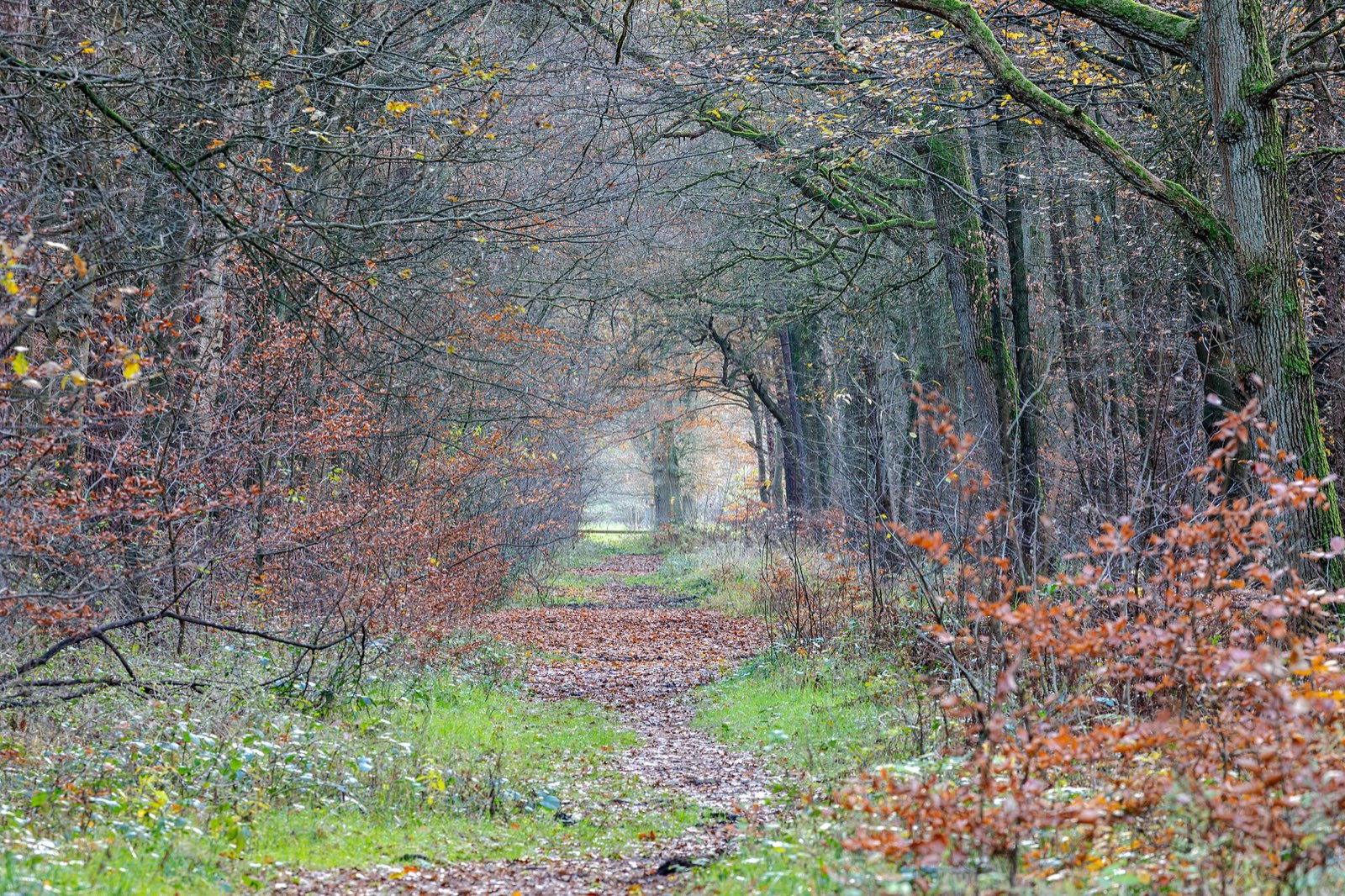
Quiet woodland path carpeted with late-autumn leaves
Build one walk into every driving day — the best color moments on this route happen at 2 mph, not 45.

Plan B: US 340 / US 11 through the Shenandoah Valley

If the ridge is fogged in, drive the valley floor instead — Front Royal to Luray to New Market under the full flank of the Blue Ridge and Massanutten, with the same color seen from below and no entrance fee.

Interactive

Check color along the route

Estimated color status across the region right now — enter any ZIP along the drive to see how the higher stretches compare with the valleys.

Style
Area
Size

Estimated color status around Richmond, VA, computed from the state’s typical peak window adjusted for each area’s elevation and latitude (higher and more northern terrain turns earlier). Try the Terrain style to see why ridgelines turn first. A climatology-based estimate — scout reports and webcams beat any model in the final week.

Common questions

Virginia foliage road trip FAQ

Keep planning

Round out the trip

More foliage road trips

Advertisement

Itinerary researched and verified August 2026 (routes, fees, seasonal closures, and long-established stops). Conditions change — confirm park roads and seasonal businesses in the final week before you go. Timing windows come from the Virginia foliage forecast.