Skip to content

The Massachusetts Fall Foliage Road Trip: The Mohawk Trail (Route 2), Orange to Williamstown

New England's original scenic auto road climbs from the Connecticut River Valley over the Berkshire summits on a century-old ribbon of hairpin curves and blazing sugar maples.

Miles
~75
Days
2–3
Best window
Oct 10 – Oct 24
Stops
8

Why this is THE Massachusetts drive

2026 edition · researched & verified

Opened in 1914 as one of America's first scenic touring roads, the Mohawk Trail follows Route 2 for roughly 63 miles from Orange to North Adams, tracing the Deerfield River before climbing over the Hoosac Range. Add the side trip up Mount Greylock — the state's highest peak — and a finish in Williamstown for a complete 2–3 day Berkshires foliage loop.

October 10 to October 24
Typical peak window
±1–2 weeks in any year
October 12
Typical first frost
pack layers for mornings
Midweek
When to drive it
Massachusetts peak weekends jam the famous miles
The itinerary

8 stops, in driving order

French King Bridge · Erving/Gill

A 1932 steel arch bridge spanning the Connecticut River at the French King Gorge, about 140 feet above the water. The pedestrian walkway gives a long view up the river corridor framed in early-turning reds and oranges. It's the classic eastern gateway to the Trail.

Arch bridge over the Connecticut River
Shelburne Falls & the Bridge of Flowers · Shelburne Falls

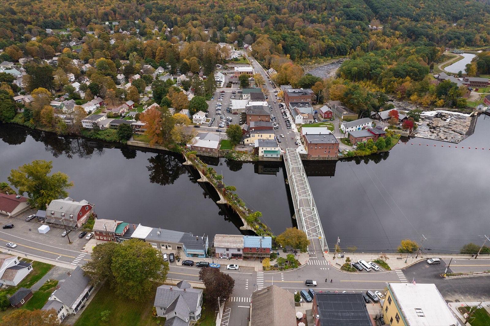
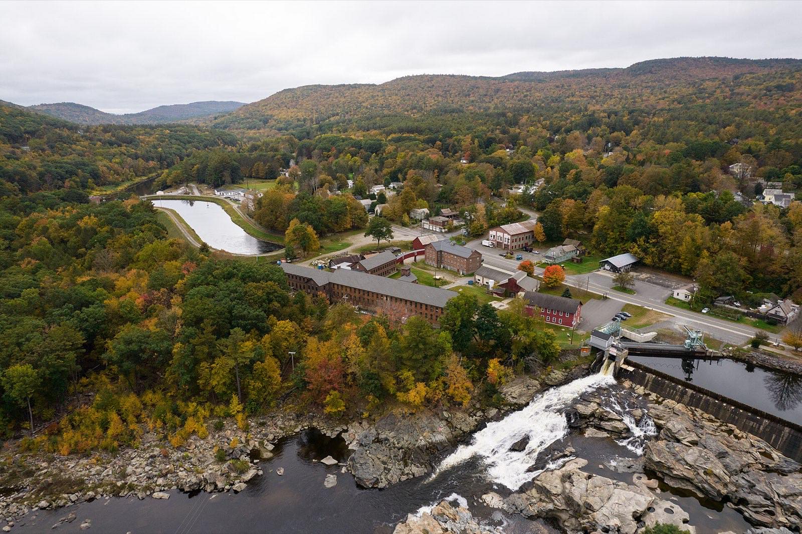
A former trolley bridge over the Deerfield River planted with hundreds of varieties of flowers and shrubs, still blooming into October. Walk the village's historic shopping district and see the glacial potholes carved into the riverbed below Salmon Falls. One of the most photographed spots in western Massachusetts.

Flower-covered trolley bridge

Mohawk Trail State Forest · Charlemont

Some of the state's largest old-growth pines shade the Cold River as Route 2 threads a narrow valley here. Nearby in Charlemont stand the Bissell Covered Bridge and the 'Hail to the Sunrise' statue honoring the Mohawk people. The river-and-ridge scenery through this stretch is the heart of the drive.

Old-growth forest river valley

Whitcomb Summit · Florida

At about 2,173 feet, this is the highest point on the Mohawk Trail, with a wide panorama across the Deerfield Valley toward Vermont's Green Mountains. Color arrives here a week or more ahead of the valleys. A roadside elk monument honors Massachusetts veterans.

Highest point on the Trail

The Hairpin Turn · Clarksburg

The Trail's famous switchback drops off the Western Summit toward North Adams in one dramatic curve. The overlook takes in the Hoosac Valley, North Adams, and Mount Greylock across the way. A lookout stop has stood here since the road opened in 1914.

Iconic switchback overlook

MASS MoCA · North Adams

One of the country's largest contemporary art museums fills a sprawling 19th-century mill complex in downtown North Adams. It makes a perfect rainy-morning or mid-drive culture break between mountain stretches. The surrounding mill town is ringed by foliage-covered hillsides.

Contemporary art in a mill complex

Mount Greylock Summit · Adams/Lanesborough

A seasonal auto road climbs to the 3,491-foot summit of Massachusetts' highest mountain, topped by the Veterans War Memorial Tower. On a clear day the view reaches five states, with the Taconics and Green Mountains rolling away in full color. Enter via Notch Road from North Adams.

Five-state summit panorama

Williamstown · Williamstown

The Trail's western terminus is a classic New England college town, home to Williams College and the Clark Art Institute. Its elm-lined streets and surrounding pastureland make a gentle landing after the mountain miles. A good overnight base for looping back or continuing down Route 7.

College-town finish line

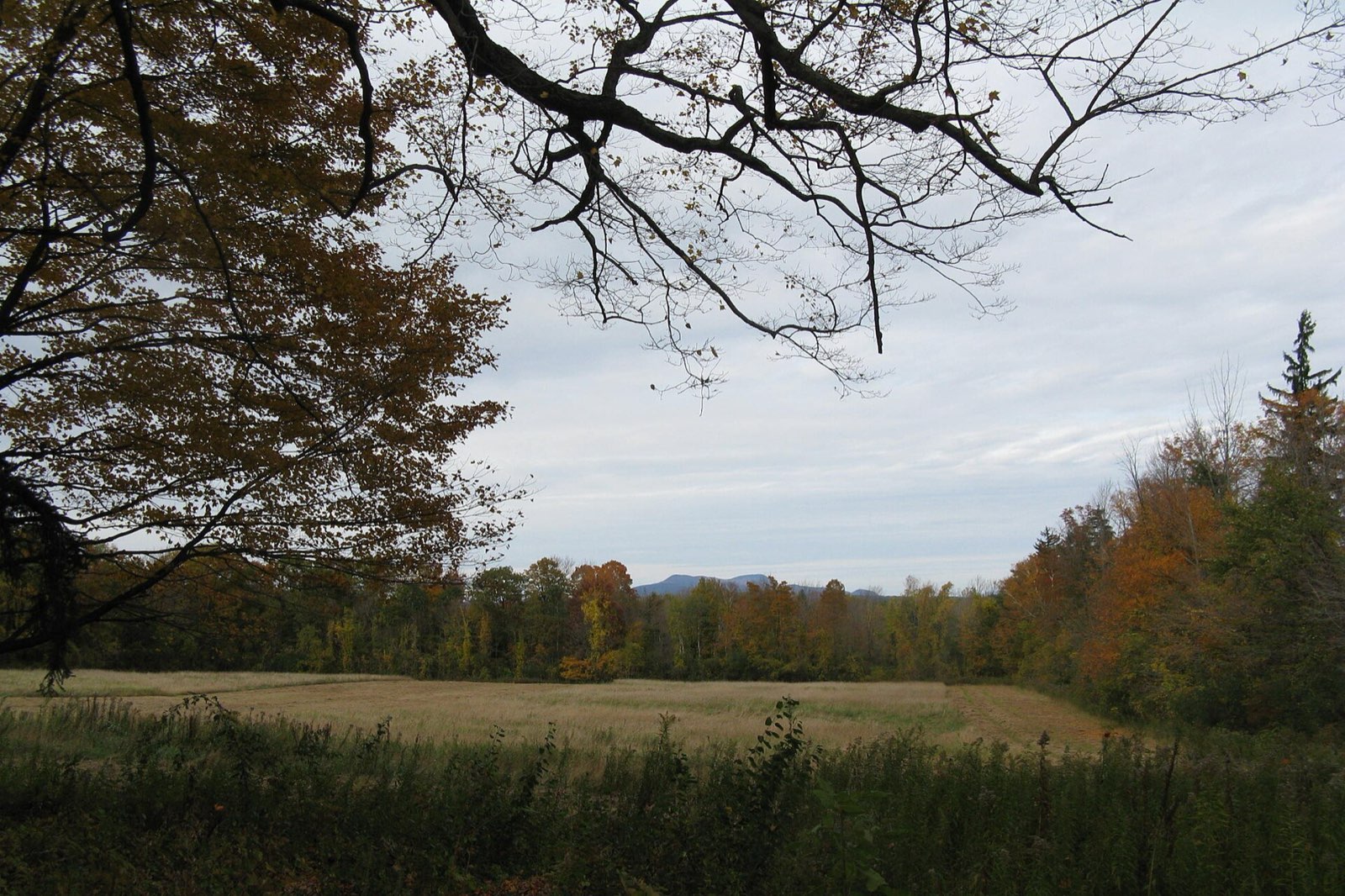
View toward Mount Greylock over autumn fields
Greylock from the valley floor — Melville watched this view while writing Moby-Dick; the summit road delivers its reverse.
Advertisement
Bring the good camera

The photo spots worth planning around

Hairpin Turn overlook

Clarksburg

Bridge of Flowers

Shelburne Falls

French King Bridge

Erving/Gill

Veterans War Memorial Tower

Mount Greylock summit

Aerial view of Shelburne Falls and the Deerfield River in autumn
Shelburne Falls on the Deerfield — the Bridge of Flowers village that anchors the Mohawk Trail’s western climb.

Golden hour rules apply double in foliage season: shoot the big overlooks in the first and last hour of light, and save overcast middays for waterfalls and forest interiors — flat light saturates reds that harsh sun washes out.

Base camps & fuel

Where to stay and where to eat

Overnight bases

Shelburne Falls

Walkable riverside village mid-route with inns and B&Bs steps from the Bridge of Flowers.

North Adams

Mill-town revival base at the foot of the Hairpin Turn and Greylock, anchored by MASS MoCA.

Williamstown

Classic college-town lodging and museums at the Trail's western end.

The institutions

Jack's Hot Dog Stand · North Adams

Family-run counter joint on Eagle Street since 1917, still using the original grill — chili dogs and hand-cut fries.

The Golden Eagle Restaurant · Clarksburg

Perched right on the Hairpin Turn, a travelers' stop site since 1914 with panoramic Hoosac Valley views from the dining room.

Hard-won advice

Trip tips for 2026

  • Drive east-to-west so the big reveals — Whitcomb Summit and the Hairpin Turn — build in sequence; ridge-top color peaks roughly a week before the valleys (late September to mid-October).
  • Mount Greylock's Notch Road and Rockwell Road are seasonal — typically open until around November 1; check Massachusetts DCR before counting on the summit.
  • Columbus Day weekend brings the heaviest traffic of the year; the Hairpin Turn pull-off fills fast, so hit it early morning.
  • The Bridge of Flowers is a seasonal display (spring through October) — go before frost ends the blooms.
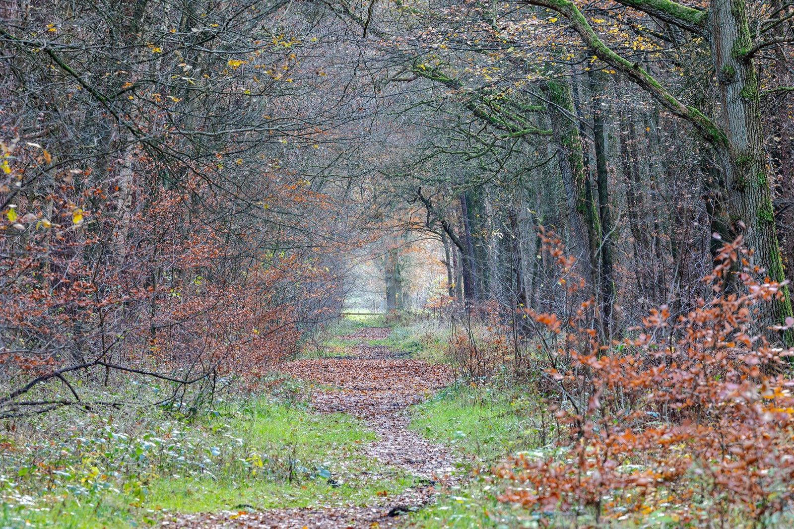
Quiet woodland path carpeted with late-autumn leaves
Build one walk into every driving day — the best color moments on this route happen at 2 mph, not 45.

Plan B: Route 7 south through the Berkshires

From Williamstown, continue south past Pittsfield and Stockbridge to Great Barrington for a second day of valley foliage, Norman Rockwell country, and southern Berkshires hill towns.

Interactive

Check color along the route

Estimated color status across the region right now — enter any ZIP along the drive to see how the higher stretches compare with the valleys.

Style
Area
Size

Estimated color status around Boston, MA, computed from the state’s typical peak window adjusted for each area’s elevation and latitude (higher and more northern terrain turns earlier). Try the Terrain style to see why ridgelines turn first. A climatology-based estimate — scout reports and webcams beat any model in the final week.

Common questions

Massachusetts foliage road trip FAQ

Keep planning

Round out the trip

More foliage road trips

Advertisement

Itinerary researched and verified August 2026 (routes, fees, seasonal closures, and long-established stops). Conditions change — confirm park roads and seasonal businesses in the final week before you go. Timing windows come from the Massachusetts foliage forecast.