Skip to content

The Wisconsin Fall Foliage Road Trip: Door County Coastal Byway (WI-42 / WI-57 Loop)

A 66-mile loop around Wisconsin's cherry-and-cider peninsula, with harbor villages on the bay side and wave-carved limestone on the lake side.

Miles
~66
Days
2–3
Best window
Sep 30 – Oct 16
Stops
8

Why this is THE Wisconsin drive

2026 edition · researched & verified

The Door County Coastal Byway circles the Door Peninsula from Sturgeon Bay: north on WI-42 up the sheltered Green Bay shore through Egg Harbor, Fish Creek, Ephraim, and Sister Bay, then back south on WI-57 along the wilder Lake Michigan side past Cave Point. Lake-moderated temperatures push peak color here to roughly mid-through-late October, later than inland Wisconsin. It's short on miles but dense on stops — orchards, fish boils, five state parks, and a famously crooked final stretch of Highway 42.

September 30 to October 16
Typical peak window
±1–2 weeks in any year
October 2
Typical first frost
pack layers for mornings
Midweek
When to drive it
Wisconsin peak weekends jam the famous miles
The itinerary

8 stops, in driving order

Sturgeon Bay · Sturgeon Bay

The peninsula's shipbuilding hub and the start of the loop, with a walkable downtown split by the ship canal. Its bridges and maritime museum make a good staging morning before heading up the bay side.

Shipyard town at the loop's start
Egg Harbor · Egg Harbor

First of the Green Bay-side villages, ringed by orchards and farm markets pouring fresh apple cider in October. Harbor View Park delivers exactly what its name promises.

Cider stands and bluff-top bay views

Fish Creek · Fish Creek

Door County's classic resort village and the gateway to Peninsula State Park. Its Main Street of clapboard shops and inns has anchored peninsula tourism since the 1890s.

Historic resort village

Peninsula State Park & Eagle Tower · Fish Creek

A 3,700-acre park on a dolomite headland with Shore Road winding beneath hardwoods to Eagle Bluff Lighthouse. Climb Eagle Tower — or its fully accessible canopy ramp — for the definitive aerial view of Door County color.

Treetop panorama from Eagle Tower

Ephraim · Ephraim

A whitewashed harborside village founded by Norwegian Moravians in 1853, its steeples and Anderson Dock reflecting in Eagle Harbor. Sunset over the harbor with fall color on the bluff behind is a signature Door County scene.

White churches over Eagle Harbor

Sister Bay · Sister Bay

The largest of the northern villages, with a long waterfront park and marina. It's home to Al Johnson's, where goats really do graze the sod roof on warm fall days.

Goats on the roof, beach in town

Ellison Bay, Gills Rock & the Highway 42 curves · Ellison Bay

The top of the peninsula turns quiet and wooded, past Ellison Bluff's 100-foot overlook to the fishing hamlet of Gills Rock. Just beyond, the famously serpentine final stretch of Highway 42 sways through a birch-lined S-curve to the Northport ferry pier — one of the most photographed roads in Wisconsin.

The winding road to Northport pier

Cave Point County Park & Whitefish Dunes · Jacksonport

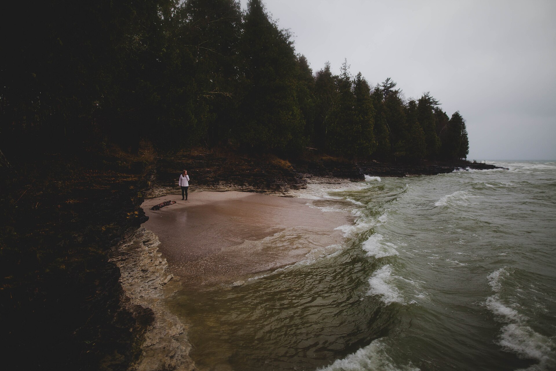
Returning south on WI-57, detour to Cave Point, where Lake Michigan waves boom into underwater limestone caverns beneath cedar-topped cliffs. Adjacent Whitefish Dunes State Park adds sandy beach and dune trails before the loop closes at Sturgeon Bay.

Waves crashing limestone sea caves

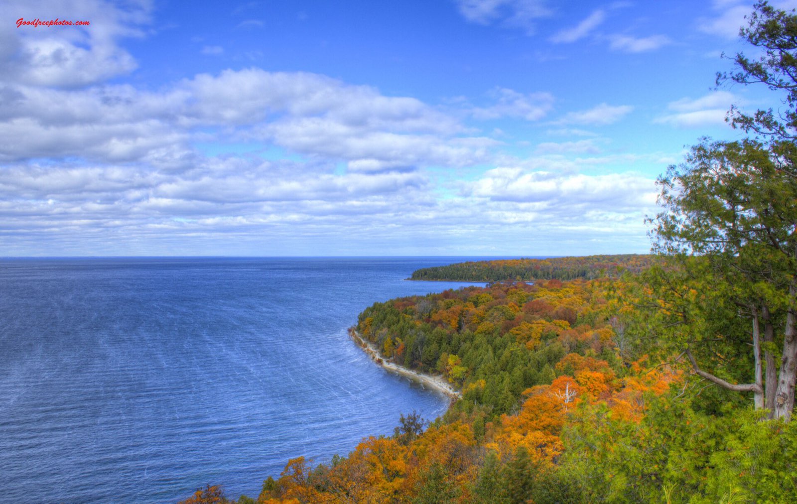
Door County shoreline from the Peninsula State Park bluffs in autumn
Sven’s Bluff in Peninsula State Park — the bay side of the peninsula, where hardwood color meets Green Bay blue.
Advertisement
Bring the good camera

The photo spots worth planning around

Eagle Tower canopy walk

Peninsula State Park

Cave Point County Park limestone ledges

Jacksonport

Anderson Dock and Eagle Harbor

Ephraim

The curvy Highway 42 approach to the Northport ferry pier

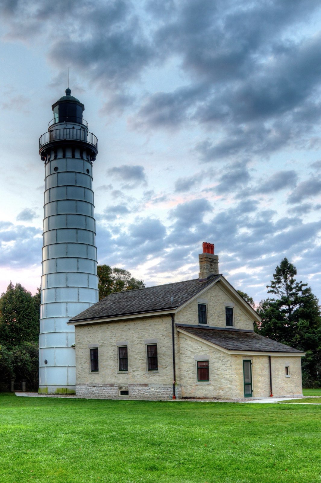
Cana Island Lighthouse, Door County, in October
Cana Island Lighthouse in October — the causeway walk is the classic Door County detour off the coastal byway.

Golden hour rules apply double in foliage season: shoot the big overlooks in the first and last hour of light, and save overcast middays for waterfalls and forest interiors — flat light saturates reds that harsh sun washes out.

Base camps & fuel

Where to stay and where to eat

Overnight bases

Fish Creek

Center of the loop with historic inns, restaurants, and Peninsula State Park at its doorstep.

Ephraim

Quietest and prettiest harbor village — sunset views over Eagle Harbor from many rooms.

Sister Bay

Most dining and lodging options up north, well placed for the Ellison Bay–Gills Rock end of the loop.

The institutions

White Gull Inn · Fish Creek

Operating since 1896; its traditional Door County fish boil — whitefish and red potatoes cooked over an open fire, finished with cherry pie — books out, so reserve ahead.

Al Johnson's Swedish Restaurant · Sister Bay

Family-run Swedish restaurant famous for Swedish pancakes with lingonberries and the goats grazing its sod roof (roughly May–October, weather permitting).

Wilson's Restaurant & Ice Cream Parlor · Ephraim

Red-and-white striped Ephraim landmark serving ice cream and burgers for over a century — a last-of-the-season cone before it closes for winter.

Hard-won advice

Trip tips for 2026

  • Door County's peak color runs later than inland Wisconsin — roughly October 10–25 — because the lakes moderate temperatures; check a fall color report before locking dates.
  • Fish boils sell out during color season; reserve the White Gull Inn (or another boil) days in advance rather than walking in.
  • Add a half-day by riding the Washington Island Ferry from the Northport pier at the tip of Highway 42 — the crossing of Death's Door strait runs year-round and takes cars.
  • Drive the loop counterclockwise (up WI-42, back on WI-57) so the harbor-village stops stack on your right heading north, and hit Peninsula State Park's Shore Road early — its lots fill by midday on peak weekends.
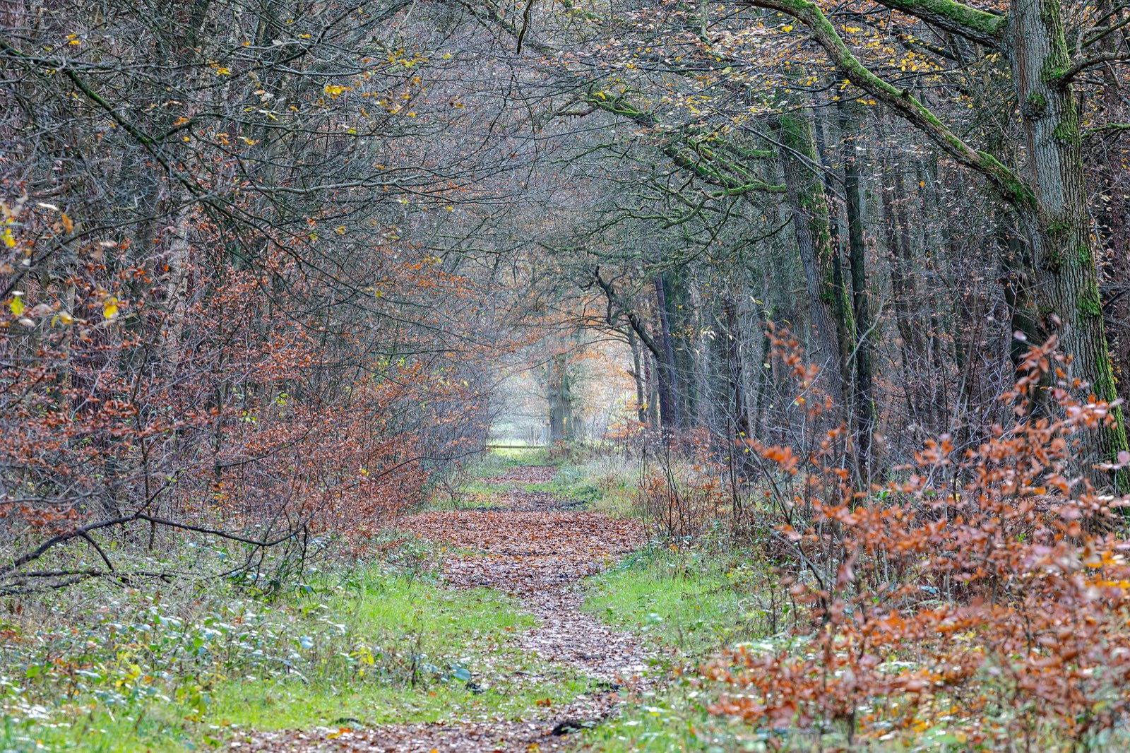
Quiet woodland path carpeted with late-autumn leaves
Build one walk into every driving day — the best color moments on this route happen at 2 mph, not 45.

Plan B: Great River Road (WI-35)

Wisconsin's other iconic color drive: 250 miles along the Mississippi's bluff country from Prescott to Potosi, with sweeping overlooks at Maiden Rock, Alma, and Wyalusing — peaks slightly earlier than Door County.

Interactive

Check color along the route

Estimated color status across the region right now — enter any ZIP along the drive to see how the higher stretches compare with the valleys.

Style
Area
Size

Estimated color status around Milwaukee, WI, computed from the state’s typical peak window adjusted for each area’s elevation and latitude (higher and more northern terrain turns earlier). Try the Terrain style to see why ridgelines turn first. A climatology-based estimate — scout reports and webcams beat any model in the final week.

Common questions

Wisconsin foliage road trip FAQ

Keep planning

Round out the trip

More foliage road trips

Advertisement

Itinerary researched and verified August 2026 (routes, fees, seasonal closures, and long-established stops). Conditions change — confirm park roads and seasonal businesses in the final week before you go. Timing windows come from the Wisconsin foliage forecast.