Skip to content

The New York Fall Foliage Road Trip: Adirondack High Peaks: Route 73 to Lake Placid & Whiteface

The Northeast's biggest mountains at peak color — Route 73 through Cascade Pass, then a toll road to a 4,867-foot summit with foliage rolling out below you.

Miles
~70
Days
2–3
Best window
Oct 5 – Oct 22
Stops
7

Why this is THE New York drive

2026 edition · researched & verified

This is the most iconic foliage drive in New York: NY Route 73 from the Northway (I-87 Exit 30) through Keene Valley and Cascade Pass into Lake Placid, then Route 86 through Wilmington Notch to the Whiteface Veterans' Memorial Highway, ending in Saranac Lake. The High Peaks turn early and hard — dense sugar-maple stands against 4,000-foot summits, with lakes at nearly every bend.

October 5 to October 22
Typical peak window
±1–2 weeks in any year
October 5
Typical first frost
pack layers for mornings
Midweek
When to drive it
New York peak weekends jam the famous miles
The itinerary

7 stops, in driving order

Chapel Pond · Keene (Route 73)

Just past the Northway, Route 73 squeezes between cliffs and this small, dark pond ringed in color. Rock climbers work the slabs above while the water mirrors the foliage. It sets the tone for everything ahead.

Cliff-ringed roadside pond
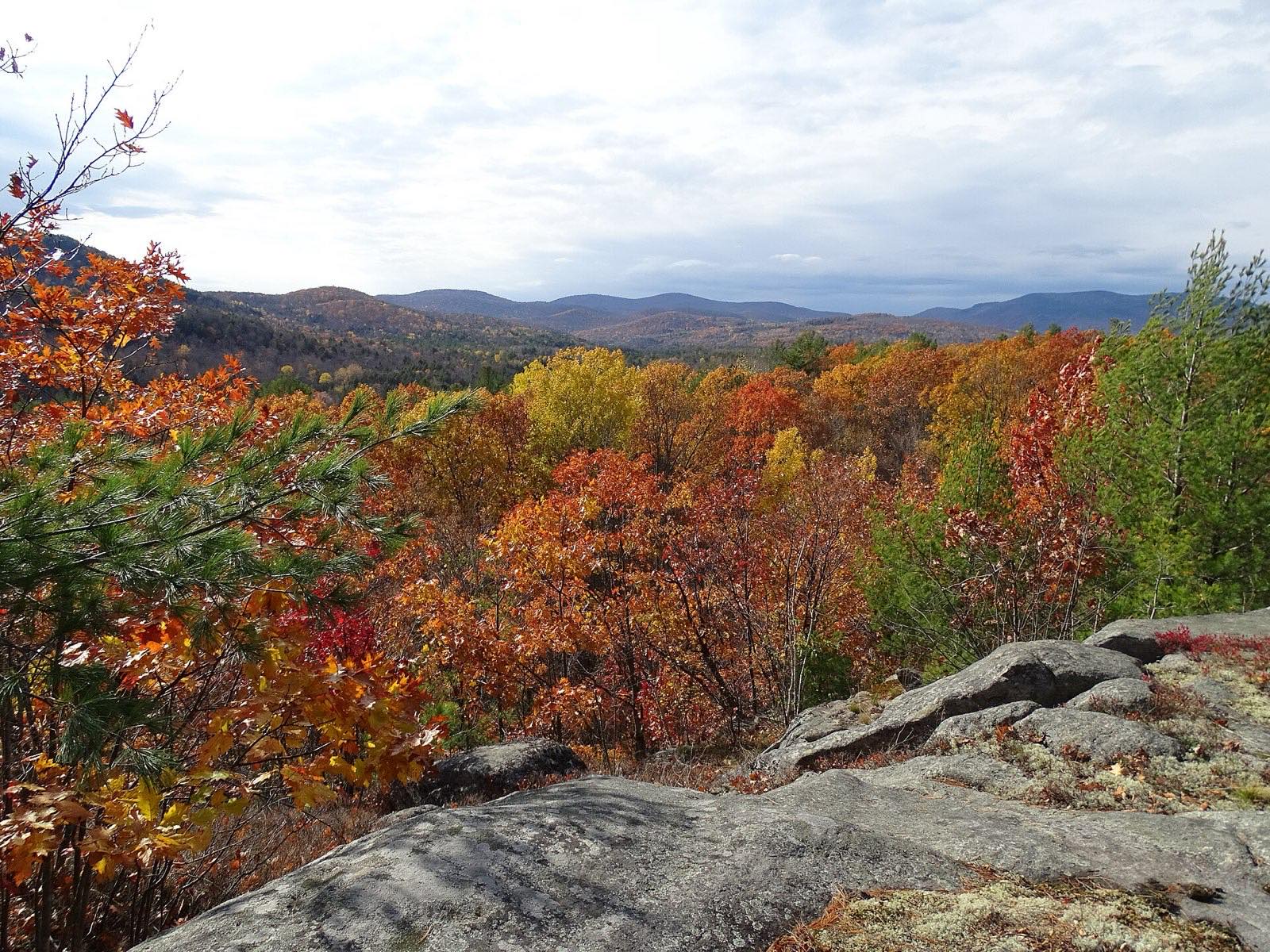
Keene Valley · Keene Valley

A tiny trail town in the shadow of the Great Range, with the classic head-on view of the High Peaks from the valley floor. Trailheads for Roaring Brook Falls and the Ausable Club corridor start here. Stock up, caffeinate, and gawk.

Great Range views from the valley

Cascade Pass & Cascade Lakes · Keene/North Elba

Route 73 climbs through some of the region's densest sugar-maple stands, then skirts two slender lakes pinched between mountainsides. The roadside pull-offs along the Cascade Lakes are among the most photographed foliage scenes in the Adirondacks. Arrive early — this corridor fills fast in fall.

Sugar-maple mountain pass

Lake Placid & Mirror Lake · Lake Placid

The two-time Winter Olympics village wraps around Mirror Lake, with Main Street shops and the Olympic Center a short stroll from the water. The lakeside path gives easy reflection shots of burning hillsides. Best overnight base on the route.

Olympic village on the water

Wilmington Notch & High Falls Gorge · Wilmington (Route 86)

Route 86 follows the West Branch of the Ausable River through a narrow notch beneath Whiteface. High Falls Gorge, a privately run attraction, has walkways over a series of waterfalls cut into ancient granite. The river-and-cliff stretch is stunning at peak color.

Waterfall gorge under Whiteface

Whiteface Veterans' Memorial Highway · Wilmington

A five-mile toll road spirals up Whiteface Mountain to a stone castle near the 4,867-foot summit — the only Adirondack high peak you can drive up. From the top, fall color spreads across the park in every direction, with Lake Placid and Lake Champlain in view. Weather-dependent and seasonal, typically closing in mid-October.

Drive-up 4,867-foot summit

Saranac Lake · Saranac Lake

An artsy, unpolished mountain village on the Saranac chain of lakes, quieter than Lake Placid and surrounded by paddling water. Riverside Park and Lake Flower give easy water-level foliage views. A fitting last night before looping home.

Laid-back lakes-town finish

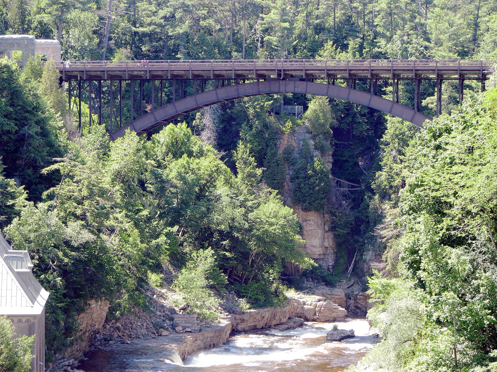
Bridge spanning the Ausable Chasm gorge
Ausable Chasm, two miles of sandstone gorge on the route north — the Adirondacks’ oldest tourist detour and still worth it.
Advertisement
Bring the good camera

The photo spots worth planning around

Cascade Lakes pull-offs on Route 73

Whiteface summit castle

Veterans' Memorial Highway

Chapel Pond

Route 73

Mirror Lake shoreline path

Lake Placid

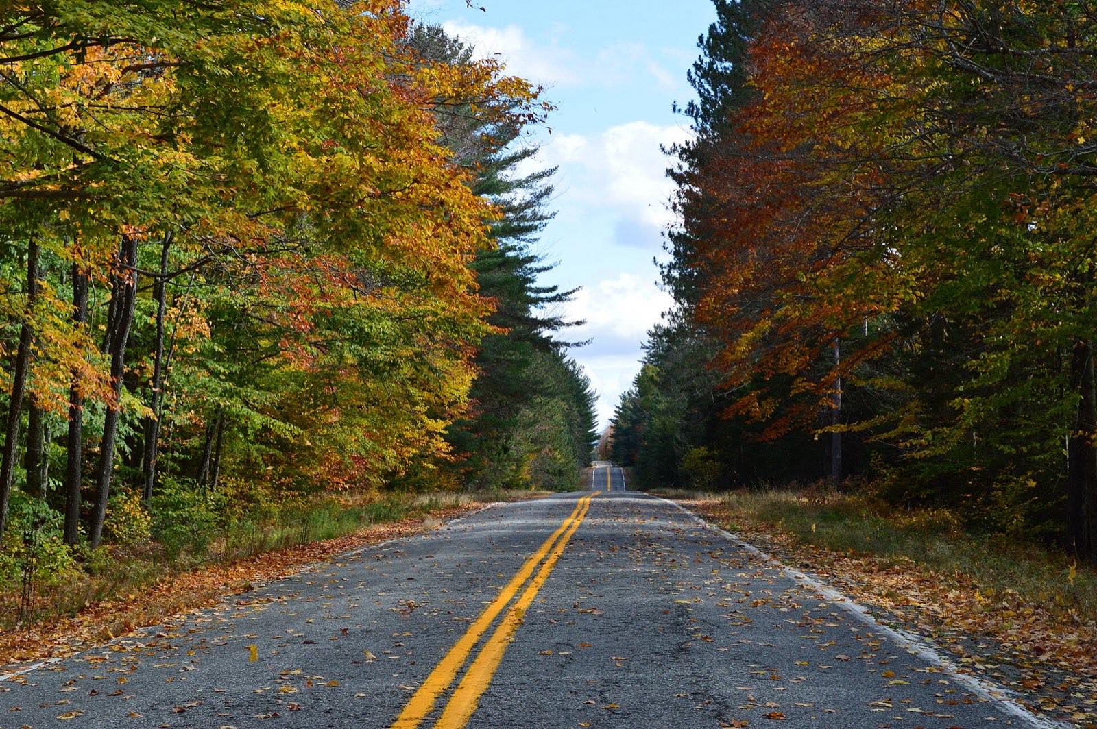
Leaf-covered road through peak fall color
The High Peaks region in season: every side road becomes an event. Leave slack in the schedule for exactly this.

Golden hour rules apply double in foliage season: shoot the big overlooks in the first and last hour of light, and save overcast middays for waterfalls and forest interiors — flat light saturates reds that harsh sun washes out.

Base camps & fuel

Where to stay and where to eat

Overnight bases

Lake Placid

The route's hub — widest range of lodging and restaurants, with Mirror Lake at the center of town.

Keene Valley

Small inns and lodges right under the Great Range, closest to the Route 73 trailheads.

Saranac Lake

Quieter and cheaper than Placid, with a real year-round village feel and lakefront access.

The institutions

Noon Mark Diner · Keene Valley

Route 73 institution since 1981, famous across the Adirondacks for homemade pies and hiker breakfasts.

Donnelly's Ice Cream · Saranac Lake

Family-run soft-serve stand since 1953 with one twist flavor per day off the original machine — seasonal, so confirm it's still open in early fall.

Lake Placid Pub & Brewery · Lake Placid

Brewing overlooking Mirror Lake since 1996; home of Ubu Ale.

Hard-won advice

Trip tips for 2026

  • High Peaks color peaks early — often the last week of September into the first week of October, ahead of most of the Northeast.
  • The Whiteface Veterans' Memorial Highway is a toll road, weather-dependent, and typically closes for the season around mid-October — check conditions before building your day around it.
  • Trailhead and pull-off parking on Route 73 (Cascade, Roaring Brook) fills by sunrise on fall weekends; shoot the Cascade Lakes early or on a weekday.
  • Cell service is spotty between towns — download offline maps before leaving the Northway.
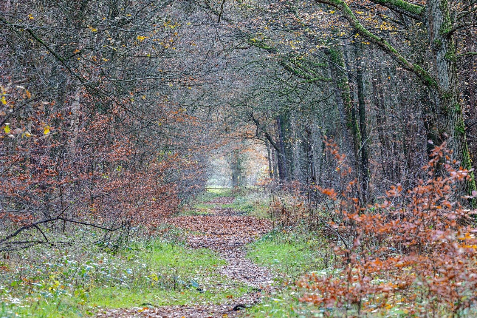
Quiet woodland path carpeted with late-autumn leaves
Build one walk into every driving day — the best color moments on this route happen at 2 mph, not 45.

Plan B: Catskills: Route 23A through Kaaterskill Clove

If you're staying closer to NYC, the Route 23A climb from Palenville to Tannersville past Kaaterskill Falls packs waterfall-and-clove drama into a much shorter drive, with Hunter and Windham nearby.

Interactive

Check color along the route

Estimated color status across the region right now — enter any ZIP along the drive to see how the higher stretches compare with the valleys.

Style
Area
Size

Estimated color status around New York City, NY, computed from the state’s typical peak window adjusted for each area’s elevation and latitude (higher and more northern terrain turns earlier). Try the Terrain style to see why ridgelines turn first. A climatology-based estimate — scout reports and webcams beat any model in the final week.

Common questions

New York foliage road trip FAQ

Keep planning

Round out the trip

More foliage road trips

Advertisement

Itinerary researched and verified August 2026 (routes, fees, seasonal closures, and long-established stops). Conditions change — confirm park roads and seasonal businesses in the final week before you go. Timing windows come from the New York foliage forecast.