Skip to content

The New Hampshire Fall Foliage Road Trip: Kancamagus Highway (NH Route 112) — the White Mountain Trail loop

Thirty-four miles of pure national-forest foliage with zero towns, zero billboards, and one perfect hairpin turn — folded into a 100-mile White Mountains loop.

Miles
~100
Days
2
Best window
Sep 28 – Oct 14
Stops
8

Why this is THE New Hampshire drive

2026 edition · researched & verified

The Kancamagus Highway climbs to nearly 2,900 feet through the heart of the White Mountain National Forest between Conway and Lincoln, with no gas stations, no development, and wall-to-wall hardwood color in early October. This itinerary runs the Kanc east to west, then closes the famous White Mountain Trail loop northward through Franconia Notch and back east over Crawford Notch on US 302. It is the most concentrated dose of big-mountain foliage in New England — notch after notch of granite and flame-colored forest.

September 28 to October 14
Typical peak window
±1–2 weeks in any year
September 25
Typical first frost
pack layers for mornings
Midweek
When to drive it
New Hampshire peak weekends jam the famous miles
The itinerary

8 stops, in driving order

North Conway Village · North Conway

The classic White Mountains base town, with the 1874 railroad station on the green and views up to Cathedral Ledge. Provision here — once you turn onto the Kancamagus in Conway there are no services for 34 miles.

last stop for gas and coffee before the wilderness stretch
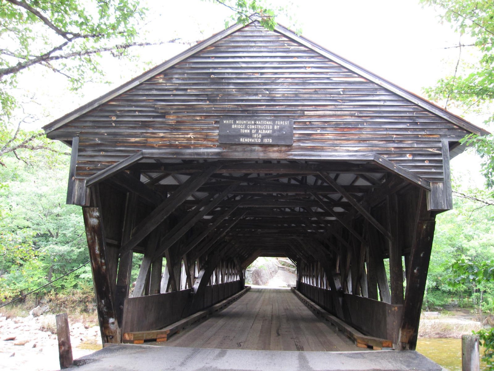
Albany Covered Bridge · Albany

Six miles up the Kanc, a short side road crosses the Swift River through an 1858 covered bridge. The view of the river framed by the bridge portal is a signature White Mountains foliage shot, and the Boulder Loop Trail starts right here if you want a leg-stretcher.

covered bridge over the boulder-strewn Swift River

Rocky Gorge and Lower Falls · Albany

Two back-to-back Swift River scenic areas where the water slides over granite ledges under overhanging maples. Lower Falls is the bigger swimming-hole cascade; Rocky Gorge has a footbridge over a narrow flume and a short walk to Falls Pond.

granite ledges and whitewater framed in red maple

Sabbaday Falls · Waterville Valley (Sabbaday Falls Trailhead)

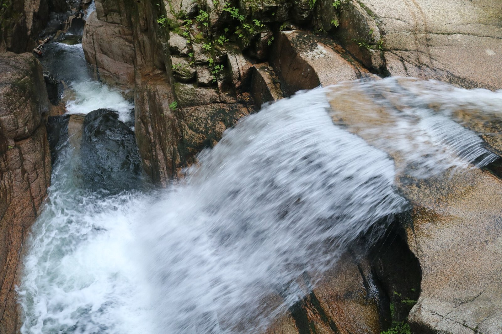
An easy, flat half-mile walk leads to a three-tiered waterfall dropping through a narrow rock flume — the best effort-to-payoff hike on the highway. Boardwalks and railings put you right over the chute.

three-tier waterfall reached by a 10-minute walk

Sugar Hill Scenic Vista and Kancamagus Pass · Livermore

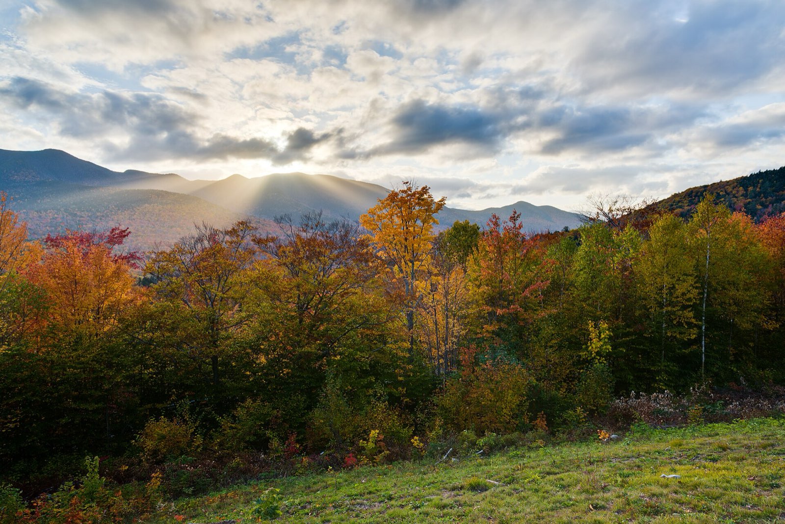
As the road climbs toward its 2,855-foot pass, Sugar Hill Scenic Vista opens onto a huge bowl of unbroken forest running to the Presidential Range. Just beyond, the C.L. Graham Wangan Ground and Hancock Overlook at the hairpin turn give the drive its most famous views west over the Pemigewasset Wilderness.

the hairpin-turn panorama near the top of Kancamagus Pass

Franconia Notch State Park · Lincoln / Franconia

From Lincoln, the loop turns north into Franconia Notch, the granite gateway flanked by Cannon Mountain and the Franconia Ridge. Walk the boardwalks of the Flume Gorge, ride the Cannon Mountain Aerial Tramway for above-treeline color, and stop at Echo Lake for the classic notch reflection.

Flume Gorge boardwalks and the Cannon tramway view

Sugar Hill and Franconia villages · Sugar Hill

A short detour off the loop's northern corner, Sugar Hill is a hilltop hamlet with sweeping views back at Cannon and the Franconia Range — and Polly's Pancake Parlor, pouring its own maple syrup since 1938. The view from Sunset Hill Road is one of the best in the state.

pancakes with a Franconia Range panorama

Crawford Notch State Park · Hart's Location / Bretton Woods

Close the loop east on US 302 through Crawford Notch, past the grand Omni Mount Washington Resort at Bretton Woods with the Presidential Range behind it. Roadside stops at Silver Cascade and the Willey House site put waterfalls and cliff walls straight out the window before the road drops back toward North Conway.

Silver Cascade spilling beside the highway

Sabbaday Falls pouring through its granite flume
Sabbaday Falls: a ten-minute walk from the Kancamagus pavement into a granite flume.
Advertisement
Bring the good camera

The photo spots worth planning around

Hancock Overlook at the Kancamagus hairpin turn

the sweeping westward valley shot

Albany Covered Bridge with the Swift River running beneath it

Sugar Hill Scenic Vista looking across unbroken forest toward the Presidentials

Omni Mount Washington Resort from US 302 at Bretton Woods

white hotel against a wall of color

Albany Covered Bridge off the Kancamagus Highway
The Albany Covered Bridge, a two-minute detour off the Kanc — pair it with Rocky Gorge just up the road.

Golden hour rules apply double in foliage season: shoot the big overlooks in the first and last hour of light, and save overcast middays for waterfalls and forest interiors — flat light saturates reds that harsh sun washes out.

Base camps & fuel

Where to stay and where to eat

Overnight bases

North Conway

The biggest lodging base in the White Mountains, at the eastern trailhead of the Kanc.

Lincoln

Sits at the western end of the Kancamagus and the mouth of Franconia Notch — the natural mid-loop overnight.

Jackson

A quieter storybook village with its own covered bridge, ten minutes north of North Conway.

The institutions

Polly's Pancake Parlor · Sugar Hill

scratch pancakes and home-made maple syrup since 1938

Chutters General Store · Littleton

home of the world's longest candy counter

Hard-won advice

Trip tips for 2026

  • There are no gas stations or restaurants on the Kancamagus itself — fuel and food up in Conway or Lincoln first.
  • Parked at any trailhead on the Kanc you need a White Mountain National Forest recreation pass (a few dollars a day, sold at self-serve kiosks and ranger stations).
  • Peak weekends (early-to-mid October) jam the highway; drive it on a weekday or start by 8 a.m. — Sabbaday Falls and Lower Falls lots fill by mid-morning.
  • Drive the Kanc east-to-west in the morning so the light is behind you at the big westward overlooks, and reserve Flume Gorge tickets online ahead of peak weekends.
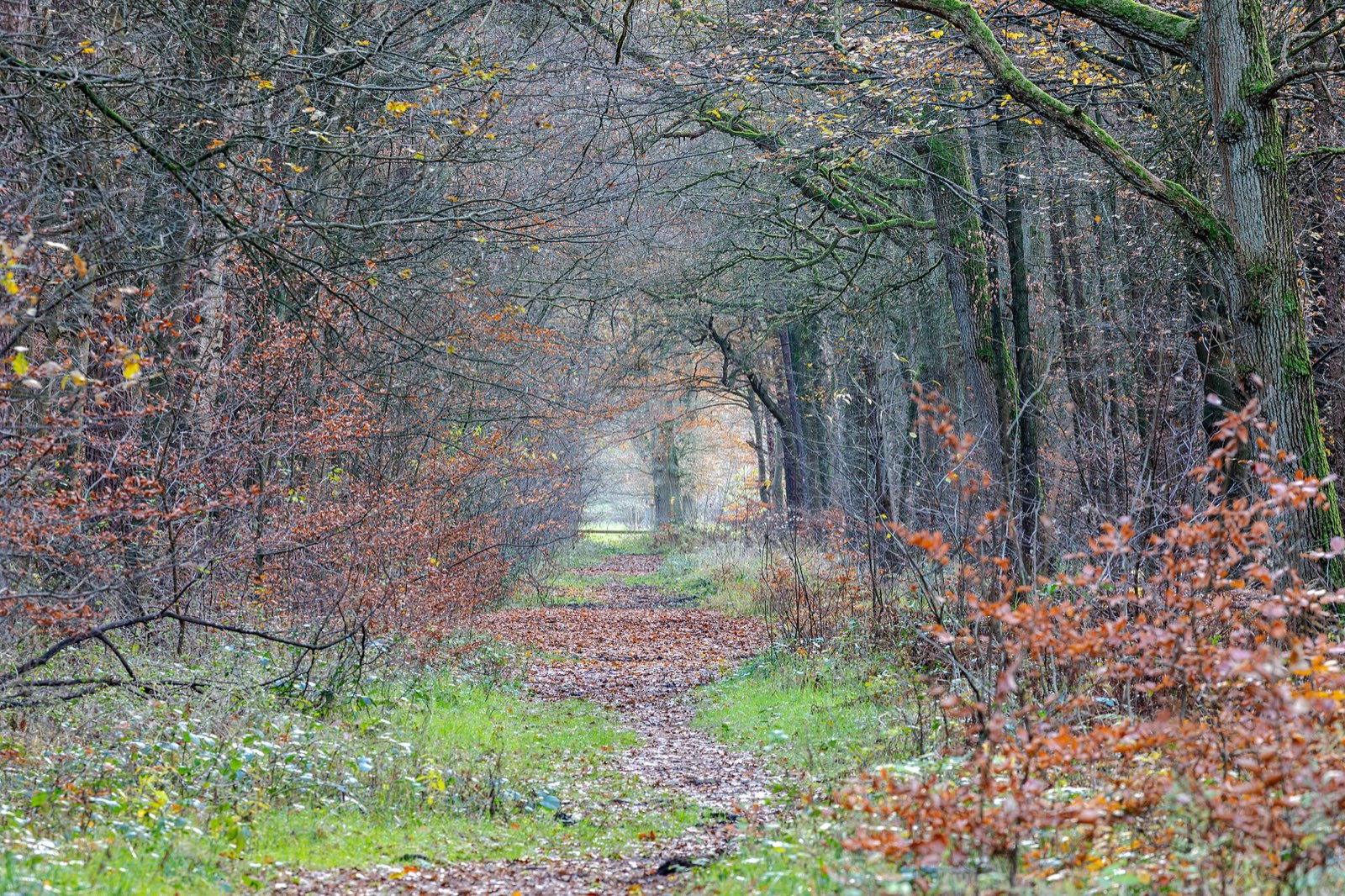
Quiet woodland path carpeted with late-autumn leaves
Build one walk into every driving day — the best color moments on this route happen at 2 mph, not 45.

Plan B: NH Route 16 through Pinkham Notch

Choose it for foliage under the east face of Mount Washington — with the option of the Mt. Washington Auto Road — when you want big-mountain drama without the Kanc's stop-and-go crowds.

Interactive

Check color along the route

Estimated color status across the region right now — enter any ZIP along the drive to see how the higher stretches compare with the valleys.

Style
Area
Size

Estimated color status around Concord, NH, computed from the state’s typical peak window adjusted for each area’s elevation and latitude (higher and more northern terrain turns earlier). Try the Terrain style to see why ridgelines turn first. A climatology-based estimate — scout reports and webcams beat any model in the final week.

Common questions

New Hampshire foliage road trip FAQ

Keep planning

Round out the trip

More foliage road trips

Advertisement

Itinerary researched and verified August 2026 (routes, fees, seasonal closures, and long-established stops). Conditions change — confirm park roads and seasonal businesses in the final week before you go. Timing windows come from the New Hampshire foliage forecast.