Skip to content

The Maine Fall Foliage Road Trip: US Route 1 to the Acadia All-American Road

The only foliage drive in America where flame-red maples run straight down to a rockbound Atlantic shore.

Miles
~135
Days
2–3
Best window
Oct 5 – Oct 18
Stops
8

Why this is THE Maine drive

2026 edition · researched & verified

Maine's signature foliage trip follows coastal US Route 1 through the storied Midcoast — Wiscasset, Camden, and Penobscot Bay — before crossing onto Mount Desert Island and the Park Loop Road of Acadia National Park, an All-American Road. What makes it THE Maine drive is the collision of color and coast: birch and maple burning against granite headlands, working harbors, and open ocean. Coastal color peaks later than the interior — typically mid-to-late October — which makes this the classic late-season finale to a New England foliage year.

October 5 to October 18
Typical peak window
±1–2 weeks in any year
September 28
Typical first frost
pack layers for mornings
Midweek
When to drive it
Maine peak weekends jam the famous miles
The itinerary

8 stops, in driving order

Wiscasset Village · Wiscasset

Self-styled 'Prettiest Village in Maine,' with sea-captain mansions above the Sheepscot River and Red's Eats — the state's most famous lobster-roll shack — at the foot of Main Street. It is the natural Route 1 starting gun for the drive Down East.

a lobster roll from Red's Eats before the bridge
Camden and Mount Battie · Camden

The postcard harbor town where the Camden Hills drop straight into Penobscot Bay. Drive the Mount Battie auto road in Camden Hills State Park for the definitive view: schooners in the harbor, islands offshore, and hardwood color rolling to the waterline.

Mount Battie summit view over Camden Harbor

Belfast Harborfront · Belfast

A salty, unpolished Midcoast town with a walkable brick Main Street sloping to the Passagassawakeag River. It makes an easy leg-stretch between Camden and the Penobscot Narrows, with a harbor walk and working shipyard.

brick Main Street running down to the harbor

Penobscot Narrows Bridge and Fort Knox · Prospect / Bucksport

Ride Maine's fastest elevator 420 feet up the Penobscot Narrows Bridge Observatory — the tallest public bridge observatory in the world, open through October 31 — for a 360-degree foliage panorama over the river and bay. Granite Fort Knox, Maine's largest historic fort, sits at its base.

420-foot observatory view over the Penobscot at peak color

Bar Harbor · Bar Harbor

Cross onto Mount Desert Island via Route 3 and land in Acadia's lively gateway town. Walk the Shore Path along Frenchman Bay, and at low tide cross the sand bar to Bar Island for a look back at the town under its wooded hills.

Shore Path views across Frenchman Bay to the Porcupine Islands

Park Loop Road — Sand Beach to Otter Cliff · Acadia National Park

The 27-mile Park Loop Road is the heart of the All-American Road, and its Ocean Drive section stacks Sand Beach, Thunder Hole, and Otter Cliff one after another. In October the surf pounds pink granite while the birches and maples behind the shoreline go gold and scarlet.

Thunder Hole booming under autumn color

Jordan Pond · Acadia National Park

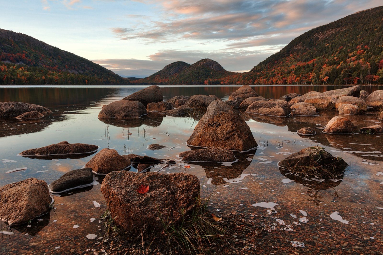
The glassy pond beneath the twin rounded Bubbles is Acadia's most famous inland view, ringed by a shoreline path. The Jordan Pond House restaurant has served popovers on its lawn since the 1890s — the definitive Acadia tradition.

the Bubbles mirrored in Jordan Pond

Cadillac Mountain · Acadia National Park

Finish on the highest point on the U.S. Atlantic coast at 1,530 feet, with the whole of Frenchman Bay, the island's lakes, and miles of foliage below. From early October onward, Cadillac's summit is among the first places in the country to catch the sunrise.

sunrise over Frenchman Bay from the summit

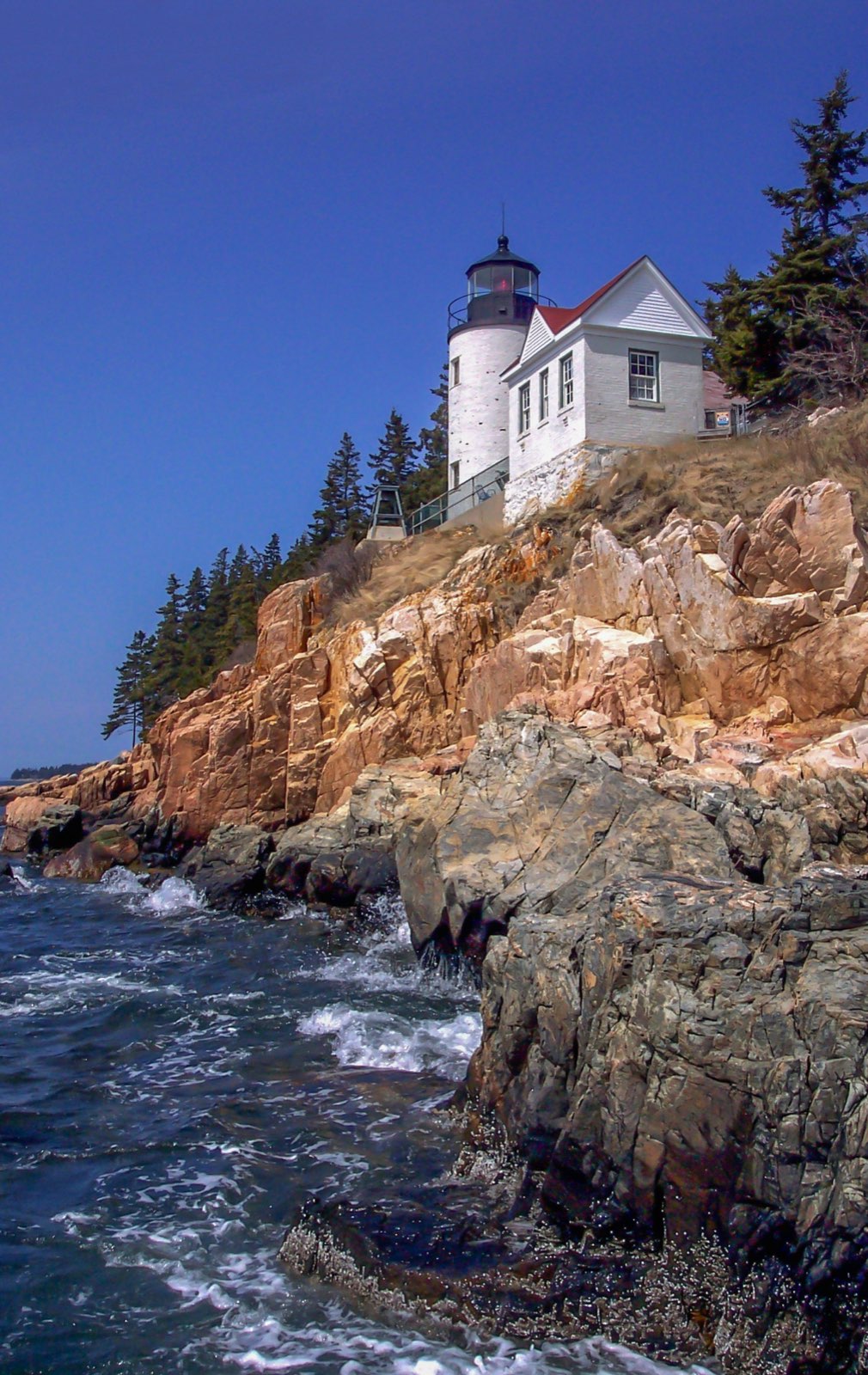
Bass Harbor Head Lighthouse on its pink granite cliff
Bass Harbor Head Light anchors the quiet side of Mount Desert Island — sunset here closes the loop right.
Advertisement
Bring the good camera

The photo spots worth planning around

Mount Battie summit in Camden Hills State Park

harbor, islands, and color in one frame

Fort Knox riverbank looking up at the Penobscot Narrows Bridge

Jordan Pond shoreline with the Bubbles reflected at dawn

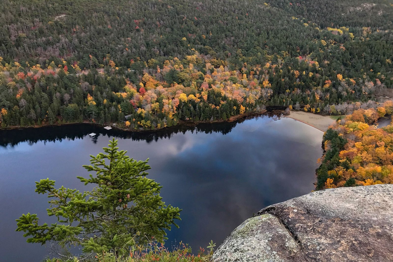
Cadillac Mountain summit ledges at sunrise or sunset

Jordan Pond and the Bubbles at autumn twilight, Acadia National Park
Jordan Pond at twilight: The Bubbles catch the last light long after the Park Loop Road crowds thin out.

Golden hour rules apply double in foliage season: shoot the big overlooks in the first and last hour of light, and save overcast middays for waterfalls and forest interiors — flat light saturates reds that harsh sun washes out.

Base camps & fuel

Where to stay and where to eat

Overnight bases

Camden

The Midcoast's most charming overnight, splitting the coastal leg with inns walkable to the harbor.

Bar Harbor

The doorstep of Acadia — essential for an early Cadillac or Ocean Drive start.

Southwest Harbor

The island's 'quiet side,' with the same access to Acadia minus the Bar Harbor bustle.

The institutions

Red's Eats · Wiscasset

legendary lobster-roll stand, feeding Route 1 travelers since 1938

Moody's Diner · Waldoboro

Route 1 institution since 1927; get the four-berry pie

Jordan Pond House · Acadia National Park

popovers and tea on the lawn since the 1890s

Hard-won advice

Trip tips for 2026

  • A vehicle reservation from recreation.gov ($6) is required to drive Cadillac Summit Road roughly late May through late October — sunrise slots sell out fast, so book the moment your dates firm up.
  • Coastal Maine peaks later than inland New England — aim for mid-to-late October, a week or two after Vermont's peak.
  • Route 1 bottlenecks at Wiscasset's bridge on fall weekends; roll through early morning, and remember Red's Eats is seasonal (roughly mid-April to mid-October).
  • Drive the Park Loop Road's one-way Ocean Drive section clockwise as posted and go before 9 a.m. — Sand Beach and Thunder Hole parking fill quickly, and the fare-free Island Explorer bus runs into mid-October as a backup.
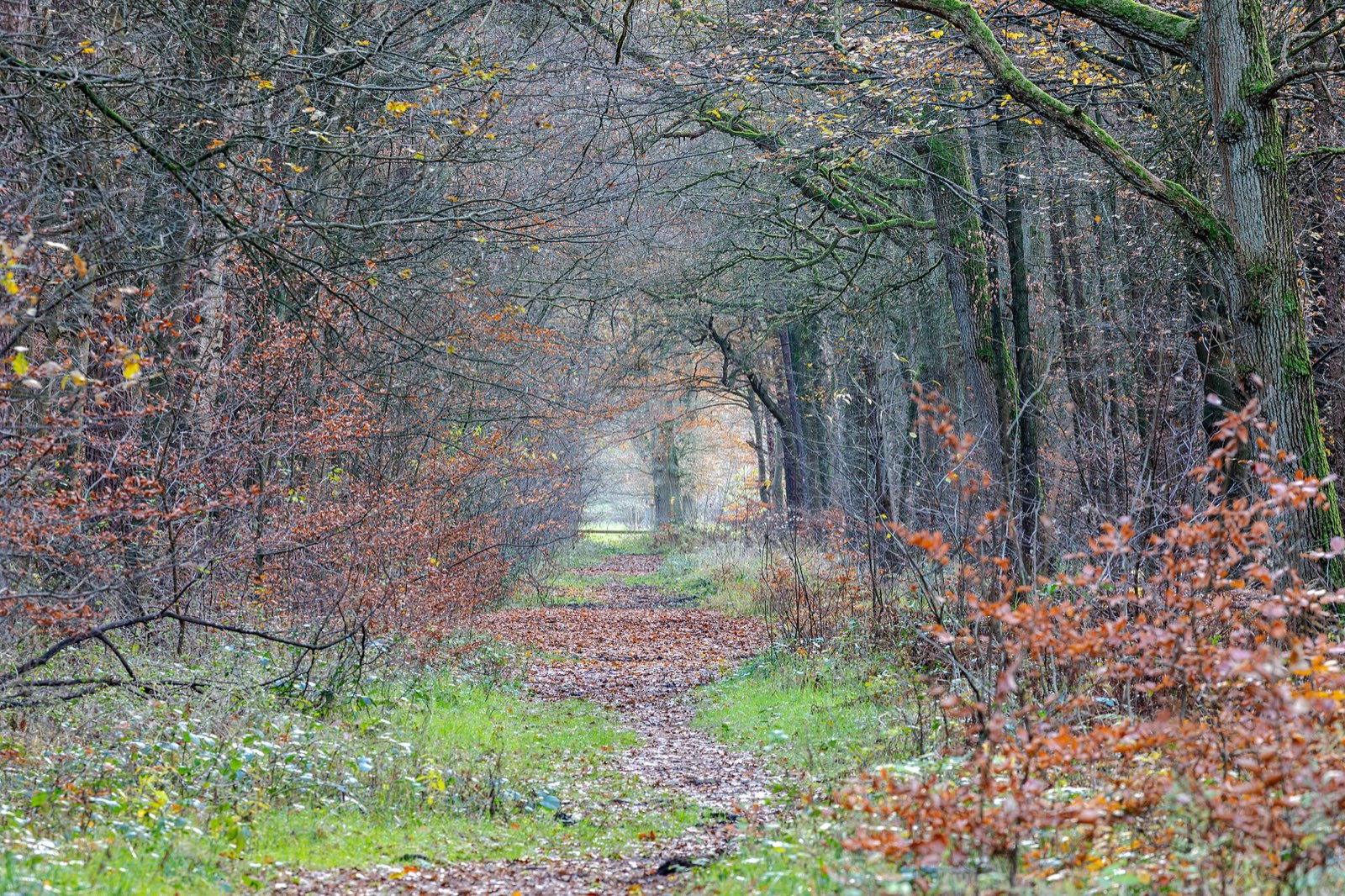
Quiet woodland path carpeted with late-autumn leaves
Build one walk into every driving day — the best color moments on this route happen at 2 mph, not 45.

Plan B: Rangeley Lakes Scenic Byway (Route 17 over Height of Land)

Choose this western-mountains byway in early October when you want Maine's single most famous foliage overlook — Height of Land above Mooselookmeguntic Lake — and inland color that peaks two weeks before the coast.

Interactive

Check color along the route

Estimated color status across the region right now — enter any ZIP along the drive to see how the higher stretches compare with the valleys.

Style
Area
Size

Estimated color status around Portland, ME, computed from the state’s typical peak window adjusted for each area’s elevation and latitude (higher and more northern terrain turns earlier). Try the Terrain style to see why ridgelines turn first. A climatology-based estimate — scout reports and webcams beat any model in the final week.

Common questions

Maine foliage road trip FAQ

Keep planning

Round out the trip

More foliage road trips

Advertisement

Itinerary researched and verified August 2026 (routes, fees, seasonal closures, and long-established stops). Conditions change — confirm park roads and seasonal businesses in the final week before you go. Timing windows come from the Maine foliage forecast.