Skip to content

The Tennessee Fall Foliage Road Trip: Smokies Grand Loop: Newfound Gap, Cades Cove & the Foothills Parkway

Climb to 6,643 feet, coast through a pioneer valley, then ride the ridgeline home — one loop, three kinds of Smokies fall.

Miles
~120
Days
2–3
Best window
Oct 18 – Nov 3
Stops
8

Why this is THE Tennessee drive

2026 edition · researched & verified

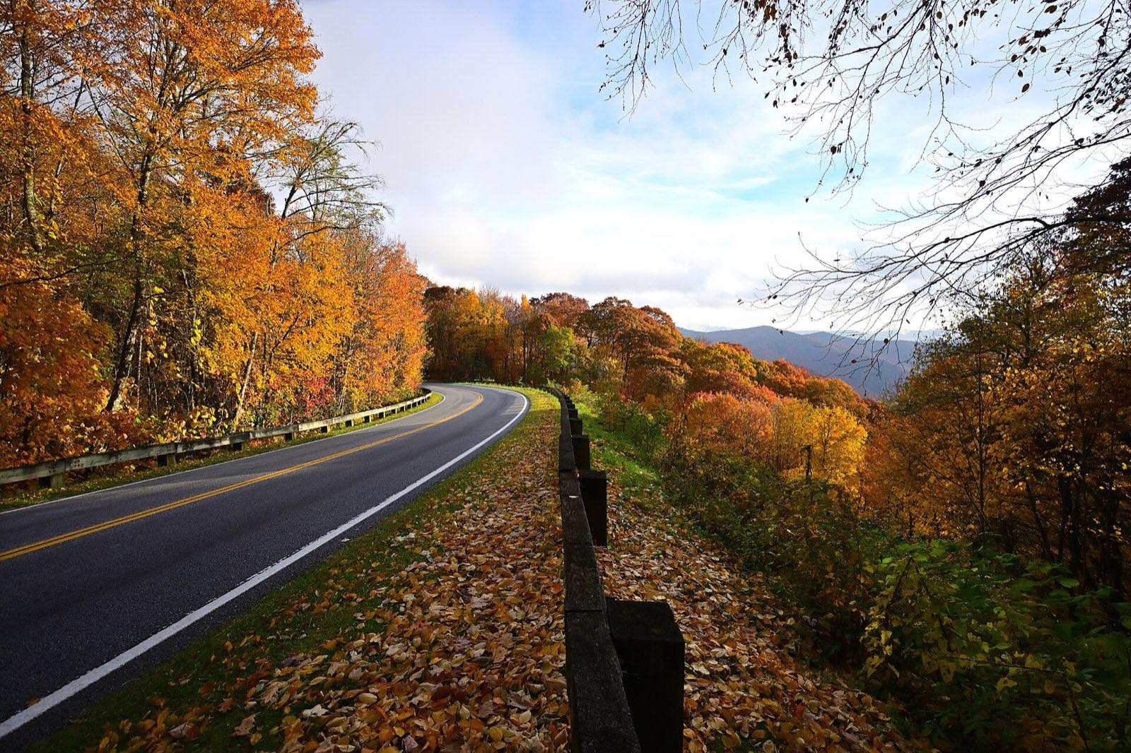
This loop stitches together the three signature drives of the Tennessee Smokies: Newfound Gap Road climbing a mile of elevation from Gatlinburg (with the Kuwohi spur to the park's highest point), Little River Gorge Road to the historic pastures of Cades Cove, and the Foothills Parkway's completed Wears Valley–Walland section back toward Pigeon Forge. Because you span roughly 1,300 to 6,600 feet, you'll drive through every stage of fall at once — peak color hits the spruce-line in early October and the valleys in early November. Two days is comfortable; three lets you bike Cades Cove and catch a Look Rock sunset.

October 18 to November 3
Typical peak window
±1–2 weeks in any year
October 26
Typical first frost
pack layers for mornings
Midweek
When to drive it
Tennessee peak weekends jam the famous miles
The itinerary

8 stops, in driving order

Sugarlands Visitor Center · Gatlinburg

The loop starts two miles south of Gatlinburg where Newfound Gap Road (US 441) enters the park. Buy your parking tag, check current road status, and get a foliage-elevation report from the rangers before climbing.

Trailhead of the whole loop — get your parking tag here
Newfound Gap · Gatlinburg

Thirteen climbing miles later you're at 5,046 feet, straddling the Tennessee–North Carolina line at the Rockefeller Memorial where FDR dedicated the park in 1940. The Appalachian Trail crosses the parking lot, and the view drops into color-filled valleys on both sides of the state line.

Stand in two states on the Appalachian Trail

Kuwohi (Clingmans Dome) · Gatlinburg

Just south of Newfound Gap, a 7-mile spur road climbs to the park's high point, renamed Kuwohi — Cherokee for 'mulberry place' — in September 2024. The steep half-mile paved trail ends at the 54-foot spiral observation tower at 6,643 feet, with 360-degree views over waves of turning forest.

Highest point in the Smokies at 6,643 feet

The Sinks, Little River Gorge Road · Townsend

Back down past Sugarlands, follow Little River Gorge Road (TN 73 corridor) as it snakes beside the boulder-strewn river toward Townsend. The Sinks waterfall pull-off is the showpiece — whitewater framed by overhanging fall color.

Roadside waterfall in a river gorge of color

Cades Cove Loop Road · Townsend

The 11-mile one-way loop circles a broad valley of preserved pioneer homesteads, churches, and the Cable Mill, with deer and black bears grazing the fields at dawn and dusk. In late October the surrounding ridges light up over split-rail fences — allow two to four hours, more on busy weekends.

Pioneer cabins, bears, and ridgeline color

Townsend · Townsend

Exit the park at the Townsend Wye into 'the Peaceful Side of the Smokies' — a low-key valley town that's the antidote to the Gatlinburg crowds. It's the natural overnight or lunch break before the Foothills Parkway finale.

The quiet side of the Smokies

Foothills Parkway & Look Rock · Walland

From Walland, ride the Foothills Parkway along Chilhowee Mountain — including the celebrated 'Missing Link' section to Wears Valley finally opened in 2018 after 50 years. Stop at Look Rock, where a half-mile walk reaches an observation tower with the full Smokies crest, Mount LeConte included, floating above the fall-colored foothills.

Look Rock tower's wall-to-wall Smokies panorama

Wears Valley descent · Wears Valley

The parkway's eastern end drops you into Wears Valley on US 321, closing the loop back toward Pigeon Forge and Gatlinburg. Time it for late afternoon, when low sun sets the western slopes glowing.

Golden-hour finish into Wears Valley

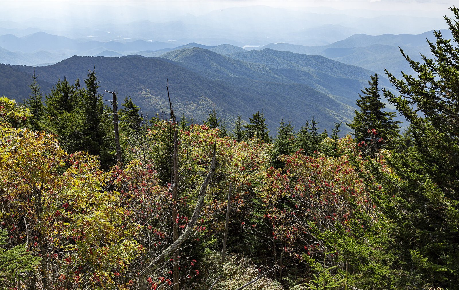
Ridgelines fading east from Clingmans Dome
From Clingmans Dome the ridges stack to the horizon — at 6,643 feet its peak color arrives weeks before Gatlinburg below.
Advertisement
Bring the good camera

The photo spots worth planning around

Kuwohi observation tower at sunrise

Sparks Lane

Cades Cove (tree-tunnel gravel lane)

The Sinks waterfall on Little River Gorge Road

Look Rock overlook and tower

Foothills Parkway

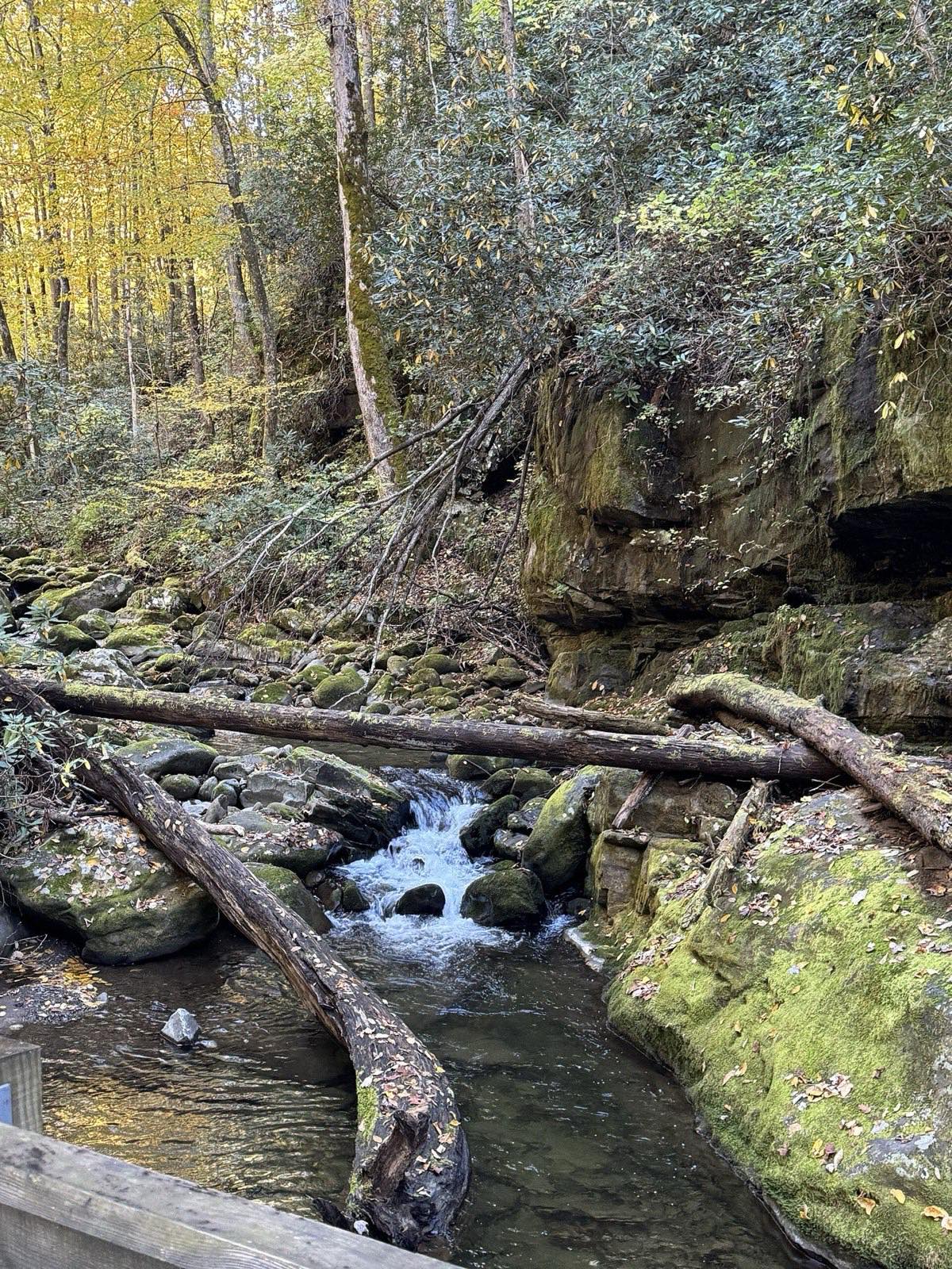
Mossy stream cascade along the Roaring Fork Motor Nature Trail
Roaring Fork’s streamside forest: save these interior scenes for overcast middays and shoot the overlooks at golden hour.

Golden hour rules apply double in foliage season: shoot the big overlooks in the first and last hour of light, and save overcast middays for waterfalls and forest interiors — flat light saturates reds that harsh sun washes out.

Base camps & fuel

Where to stay and where to eat

Overnight bases

Gatlinburg

Right at the park's main entrance and the foot of Newfound Gap Road — walkable, lively, and the earliest possible start for a Kuwohi sunrise.

Townsend

The quiet base closest to Cades Cove — being ten minutes from the loop entrance is the whole game for beating the morning line of cars.

Pigeon Forge

The most lodging inventory in the region, positioned at the loop's northern seam between Wears Valley and the Gatlinburg entrance.

The institutions

The Old Mill Restaurant · Pigeon Forge

Southern plates beside a working gristmill built in 1830 — the corn for the grits and cornbread is still ground next door.

Pancake Pantry · Gatlinburg

Tennessee's first pancake specialty house, opened in 1960; the sidewalk line down the Parkway is part of the ritual before a Newfound Gap morning.

Hard-won advice

Trip tips for 2026

  • The Smokies have no entrance fee, but any stop longer than 15 minutes requires a 'Park it Forward' parking tag — $5/day, $15/week, or $40/year, sold online, at Sugarlands, the Townsend Welcome Center, and kiosks at the Townsend Wye and Cades Cove.
  • Cades Cove is vehicle-free every Wednesday from early May through September 30 (2026 season: May 6–Sept 30) for bikes and pedestrians only — in October the loop is open to cars all week, but expect the heaviest traffic of the year; enter at sunrise or rent bikes near the campground store.
  • Kuwohi/Clingmans Dome Road closes seasonally from December 1 through March 31 and can shut earlier for snow and ice; Newfound Gap Road also closes temporarily in bad weather — check the park's road status (@SmokiesRoadsNPS) each morning.
  • Expect a 20–30°F temperature swing between Gatlinburg and the Kuwohi tower, and remember peak color moves downhill: spruce-line in early October, Cades Cove and the foothills in late October to early November — there's no single 'peak weekend' for the whole loop.
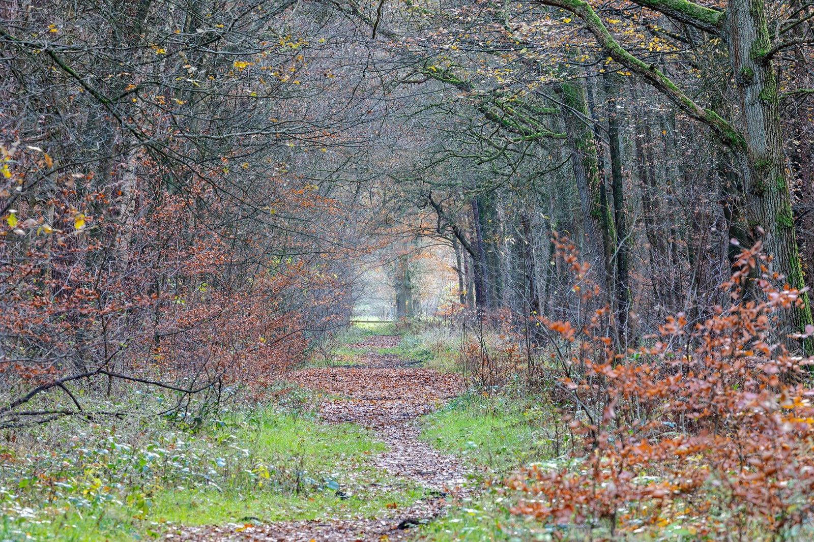
Quiet woodland path carpeted with late-autumn leaves
Build one walk into every driving day — the best color moments on this route happen at 2 mph, not 45.

Plan B: Roaring Fork Motor Nature Trail

A 5.5-mile one-way loop out of Gatlinburg past old-growth forest, historic cabins, and the Grotto Falls trailhead — a slow, intimate substitute (no buses/trailers; closed in winter) if Newfound Gap Road is jammed or weather-closed.

Interactive

Check color along the route

Estimated color status across the region right now — enter any ZIP along the drive to see how the higher stretches compare with the valleys.

Style
Area
Size

Estimated color status around Nashville, TN, computed from the state’s typical peak window adjusted for each area’s elevation and latitude (higher and more northern terrain turns earlier). Try the Terrain style to see why ridgelines turn first. A climatology-based estimate — scout reports and webcams beat any model in the final week.

Common questions

Tennessee foliage road trip FAQ

Keep planning

Round out the trip

More foliage road trips

Advertisement

Itinerary researched and verified August 2026 (routes, fees, seasonal closures, and long-established stops). Conditions change — confirm park roads and seasonal businesses in the final week before you go. Timing windows come from the Tennessee foliage forecast.